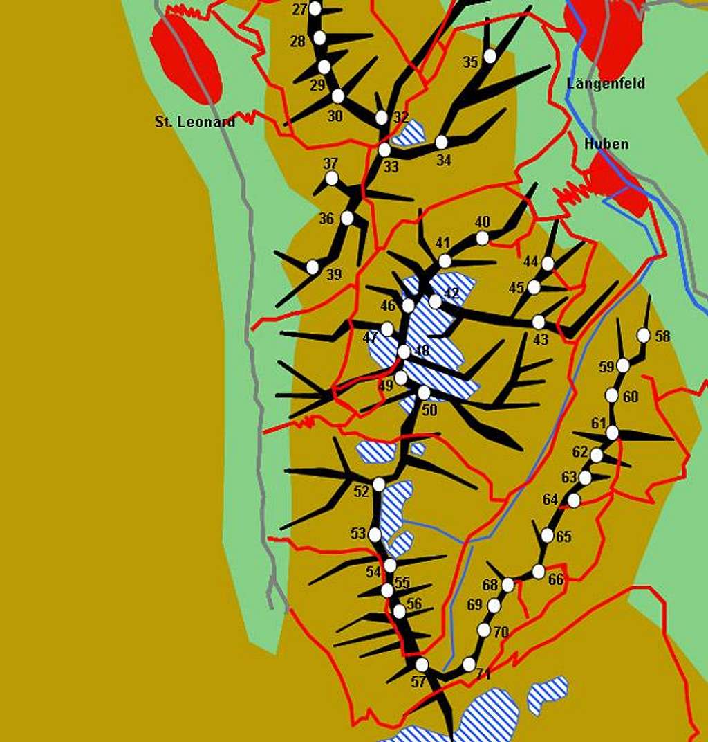
Hand drawn schematic map of...
Hand drawn schematic map of the southern part of the Geigenkamm Ridge Subgroup of the Ötztal Alps. The grey lines are the roads into the Pitztal (left) and Ötztal (right) Valleys. The red lines constitute the trails. Glaciers are denoted white-and-blue and the red "expanses" are the villages. The numbers refer to the listing in the text of the main page.


