Hand drawn schematic map of...
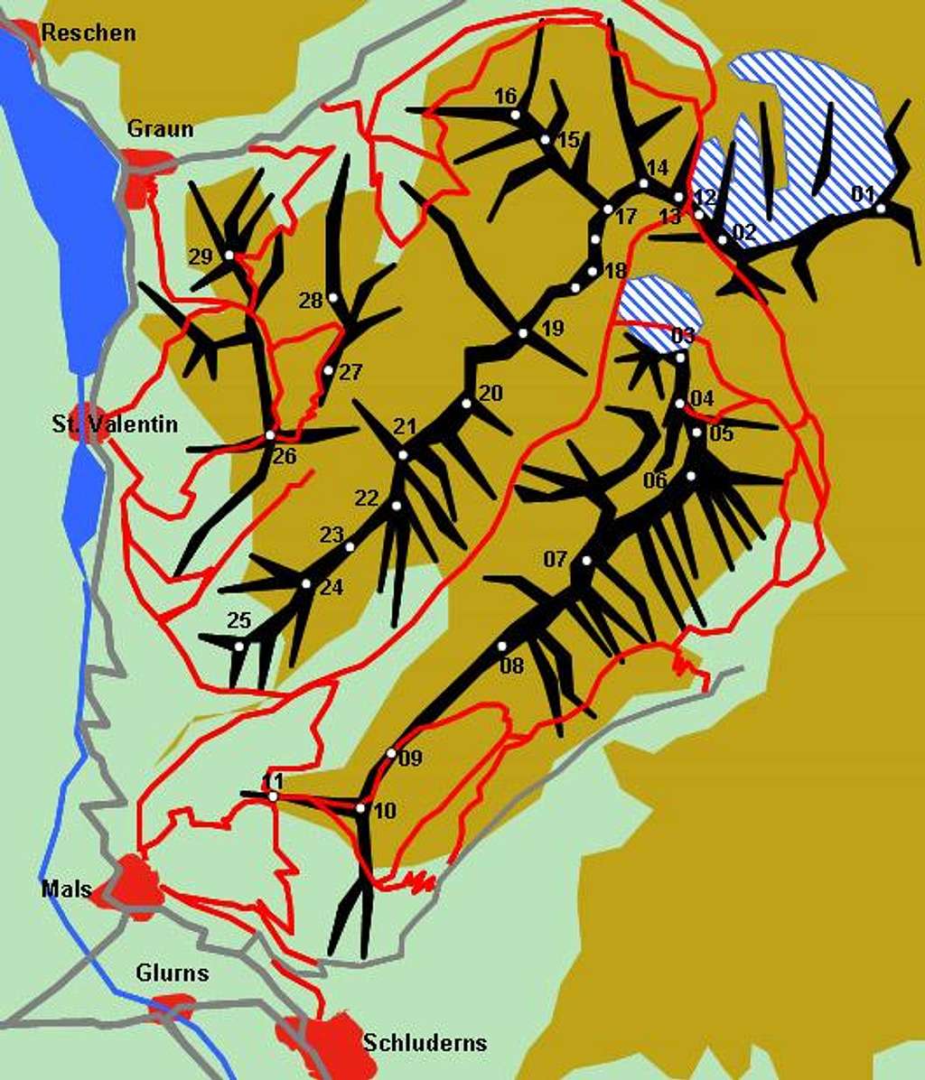
Hand drawn schematic map of the Planeiler Berge Subgroup of the Ötztal Alps Main Ridge. The red lines constitute the trails, glaciers are denoted white-and-blue. The numbers refer to the listing in the text of the main page


