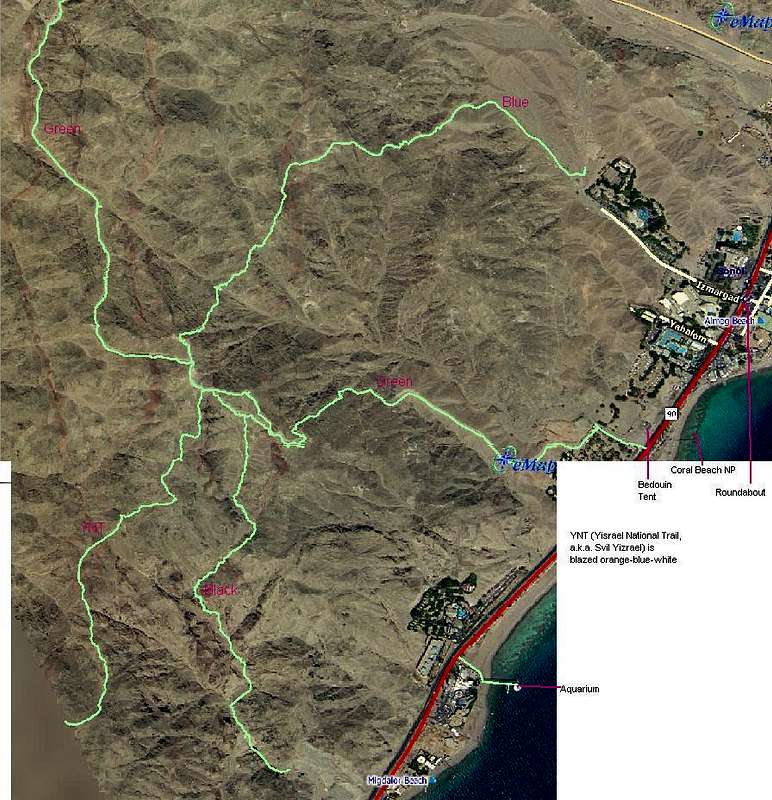
Mount Zefahot, 278 m, (Z is pronounced like "Tz"), has a commanding view of the shores of 4 nations around the Gulf of Aqaba, and a well-developed trail system with several Eilat South Beach Area trailheads.
Orange-blue-white blazed Israeli National Trail begins near Taba Border Crossing just South of Princess Hotel. Further North, Black Trail begins South of the Aquarium, Green Trail across the road from Coral Beach NP next to a Bedouin Tent cafe, and Blue Trail in a dirt lot North of Club in Eilat.
Source of detailed maps at http://www3.emap.co.il/eng_index.asp


