-
 5553 Hits
-
 87.31% Score
-
 24 Votes
|
|
Route |
|---|---|
|
|
45.51531°N / 7.34076°E |
|
|
Sport Climbing |
|
|
Summer |
|
|
A long day |
|
|
5.10c (YDS) |
|
|
TD sup., 6c (French Scale) |
|
|
Overview
Geographical classification: Western Alps > Graie Alps > Gran Paradiso Group > Gran Paradiso Group Southern Sector > Monte Nero > Hasta Siempre
Hasta Siempre
Piantonetto is the rocky heart of the Gran Paradiso group, with beautiful steep granite walls and peaks. Monte Nero is one of these latters, an attractive pyramidal peak - quite rocky - lying inside the Piantonetto area, on the Canavese side of Gran Paradiso Group, Subgroup Roccia Viva-Apostoli, a wild and protected milieu situated fully inside the Italian territory, between Aosta Valley in Northern Side and Piemonte (Canavese) in Southern Side.
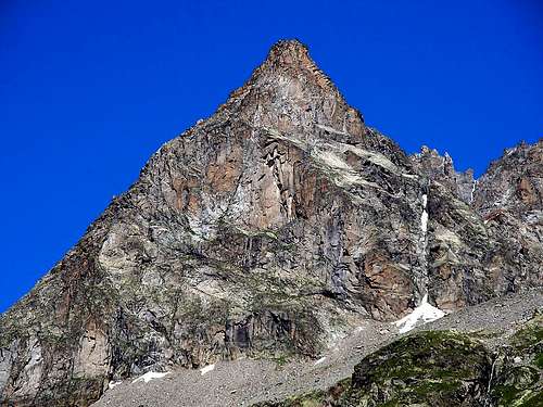
A superb route on high quality gneiss is running on Monte Nero East Face, "Hasta Siempre", a great climb with some hard moves and some exciting pitches. A challenging route, notwithstanding its continuity is interrupted by a stripe of sloping slabs in the central section. In summer the route gets the sun till midday.
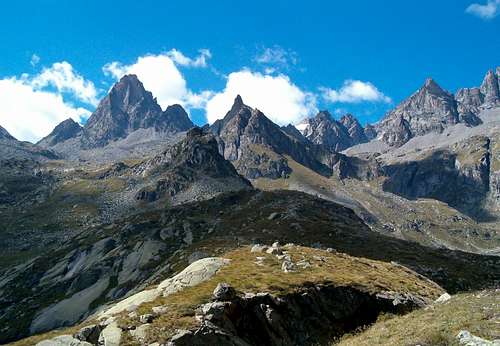
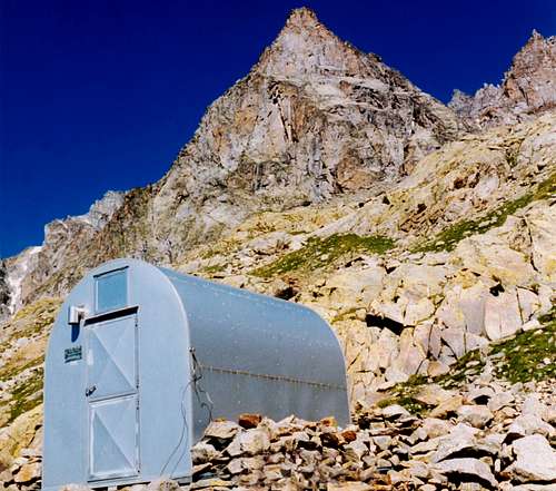
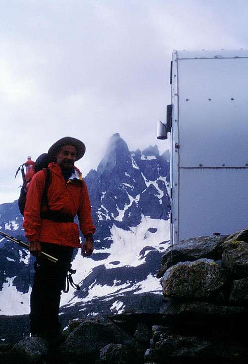
Monte Nero dominates the Bivacco "Gino Carpano" with its 400 m. high East Face, in a superb setting. The approach is rather long, so definitely you won't find crowds of climbers!
Getting There
Road access
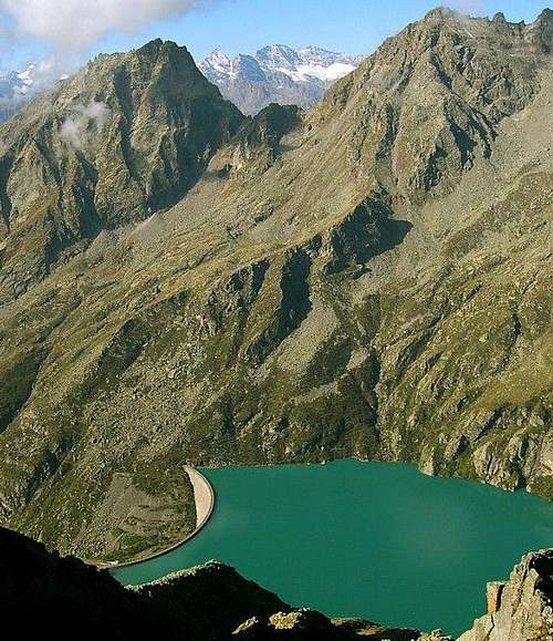
From Turin reach Courgnè and Pont Canavese mt. 461; from here follow Orco Valley as far as Rosone mt. 715 (Km. 16,5 from Pont Canavese). A bit after Rosone leave the main road and follow on the right-hand side the road rising along Piantonetto Valley and reaching Teleccio artificial Lake mt.1917.
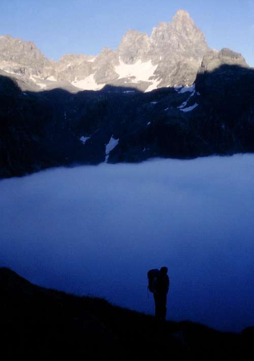
Walking Approach
From Teleccio Lake (Dam, artificial lake) follow the road running along the right shore of the lake, then a steep path rising to the Rifugio Pontese (40 minutes from the parking). From here follow a trail crossing all the plain, Pian delle Muande. After leaving Teleccio Muanda on the left-hand side cross some streams; from here there are two different routes to get the Bivacco Carpano:
- by walking along a large gully on the right hand-side, then crossing the gully towards left to reach the bivouac (easier but longer) – 2 hours from Pontese Hut
- by climbing on the left a steep rocky gully equipped with some fixed ropes, rising straightly to the bivouac (shorter but involving some climbing sections) - 1,40 hours from Pontese Hut.
From “Gino Carpano Bivouac” mt. 2865 – 2 hours from Pontese Hut – a short walk rising along stones and little snow-fields leads to the base of the peak. Hasta Siempre is running in the central part of the triangular cliff, near the central and not well-defined SE ridge, which divides the East Face on the right and South Face on the left. In fact the face seems an only face if seen from the bivouac, being really a two-side cliff.
Hasta Siempre report
Hasta Siempre
Summit altitude: m. 3422
Difficulty: TD sup., F6c max.
Equipment: bolts
Climbing length: 490 m
Exposure: E
First ascent: Manlio Motto and Rocco Sansano august 1997
Starting point: “Gino Carpano Bivouac” m. 2865
Hut: Pontese Hut m. 2200
Hasta Siempre report - French Scale
The starting point is in the lower point of the cliff; quite next to SE ridge is running “Man in black”, while “Hasta siempre” starts on the right-hand side of this route.
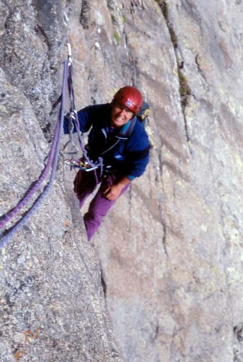
L1 – Straightly up with athletic climb along some overhanging walls following one another. 6b, 45 m
L2 – A bit easier reddish wall, then an hard flake leading to the belay. 5c, 6b, 40 m
L3 – Climb a slab, an overhanging little step, then an easier dihedral-crack. 6a, 4c, 35 m
L4 – Climb another slab, then cross a ledge and go up following some steep short walls. 4c, 43 m
L5 – Another slab, then a crack. 4b. 35 m
L6 – A steep step, a corner and an overhanging short wall leading to the beginning of central slope slabs. 5c, 6a+, 32 m
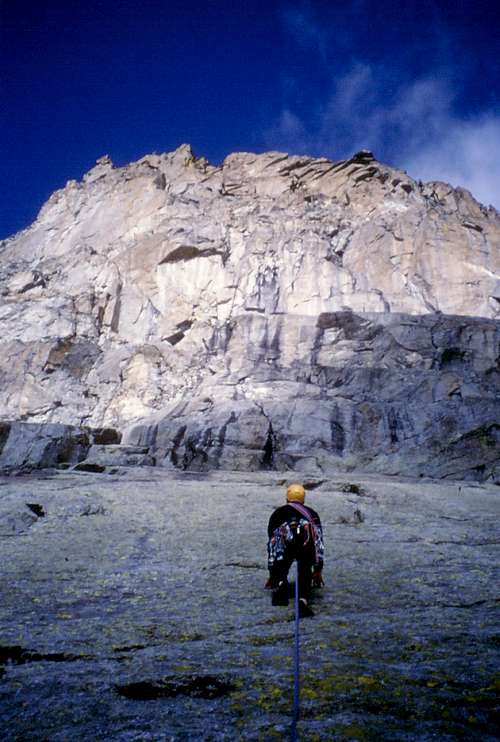
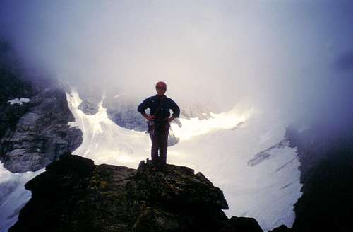
L7-L8 – Climb the stripe of easy slabs and the central step which divides them into a lower and an upper part. 3b, 4a, 72 m
L9 – An other short wall and another sloping slab lead to a belay below a great overhanging step cut by a thin crack. Climb the crack, reaching a belay under the summit building. 5b, then 6a. 40 m
L10 – Climb an hard steep wall – crux - then a fine grey wall with sharp holds. 6c, 6b, 22 m
L11 – Climb a ramp, then an hard crack leading to a steep wall with good holds, ending to a good stance. 6b+, 5c, 28 m
L12 – A reddish crack and a corner with a big flake lead to a huge wall crossed by two roofs following one another. Climb the wall and the two roofs – the first one is the harder – gaining a belay. 6b, 50 mt.
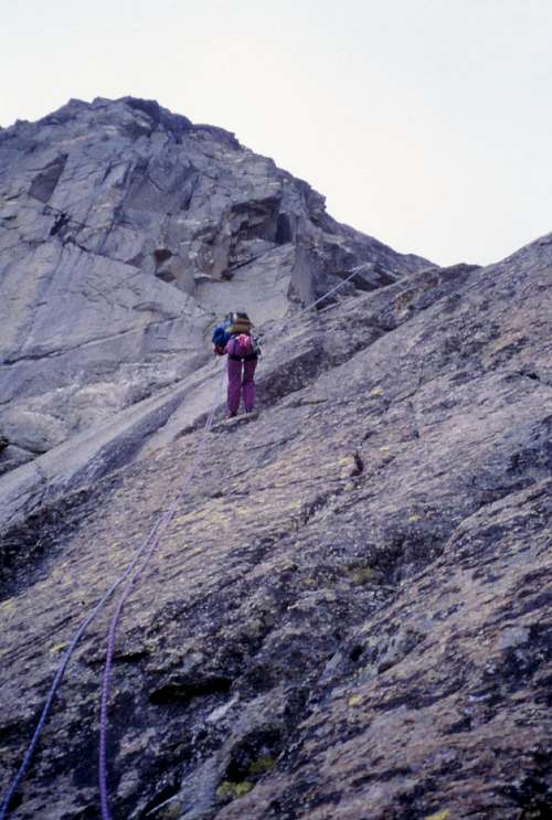
L13 – Climb a corner reaching a stance. 4b, 27 m
L14 – Easy rocks lead to the summit signal.
Descent: 13 abseils along the route
Red Tape
There are no fees or permits needed to climb Monte Nero. The peak is located inside Parco Nazionale del Gran Paradiso, established in 1922, one of most important National Parks in Italy. You should take care of nature as usual within the boundaries of all the natural parks. Free camping is not allowed and fires are strictly forbidden. The whole fauna and flora are protected. Don’t disturb fauna and other mountaineers' peacefulness with every kind of noise.
Huts and Bivouacs
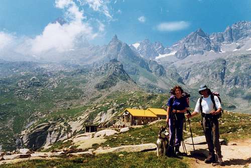
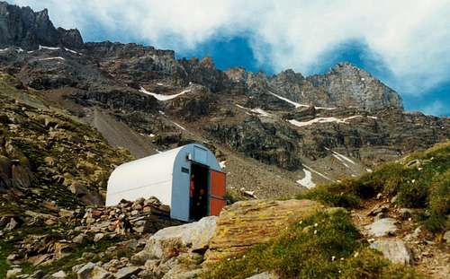
Bivacco Gino Carpano 2865 m
Rifugio Pontese 2200 m
Essential Gear
Rope 2 x 50, 10 expresses, helmet, some friends and excentrics, slings.
Climbing grades
| Rock Climbing Rating Systems | ||||||||
|---|---|---|---|---|---|---|---|---|
| French | YDS | UIAA | French | YDS (USA) | UIAA | French | YDS | UIAA |
| 1 | 5.2 | I | 6b | 5.10c | VII- | 7c+ | 5.12d | IX |
| 2 | 5.3 | II | 6b+ | 5.10d | VII | 8a | 5.13a/5.13b | IX+/X- |
| 3 | 5.4 | III | 6c | 5.11a | VII+ | 8a+ | 5.13c | X- |
| 4 | 5.5 | IV | 6c+ | 5.11b | VII+/VIII- | 8b | 5.13d | X |
| 5a | 5.6 | V- | 7a | 5.11c | VIII- | 8b+ | 5.14a | X+ |
| 5b | 5.7 | V/V+ | 7a+ | 5.11d | VIII | 8c | 5.14b | X+/XI- |
| 5c | 5.8 | VI- | 7b | 5.12a | VIII+ | 8c+ | 5.14c | XI- |
| 6a | 5.9 | VI/VI+ | 7b+ | 5.12b | VIII+/IX- | 9a | 5.14d | XI |
| 6a+ | 5.10a/5.10b | VI+/VII- | 7c | 5.12c | IX- | 9a+ | 5.15a | XI+ |
When to climb
Best months are July, August and September.
Meteo
Meteo Regione Piemonte
Meteo Alpi
Guidebooks and maps
Guidebooks


"Rock Paradise – Classic, modern and sportive climbing in Gran Paradiso valleys” by Maurizio Oviglia Ed. Versante Sud 2000
Maps “Gran Paradiso - La Grivola - Cogne” – IGC 101 1:25.000 "Il Parco Nazionale del Gran Paradiso" - IGC 3 1:50.000

