
Henry Creek - Upper Route
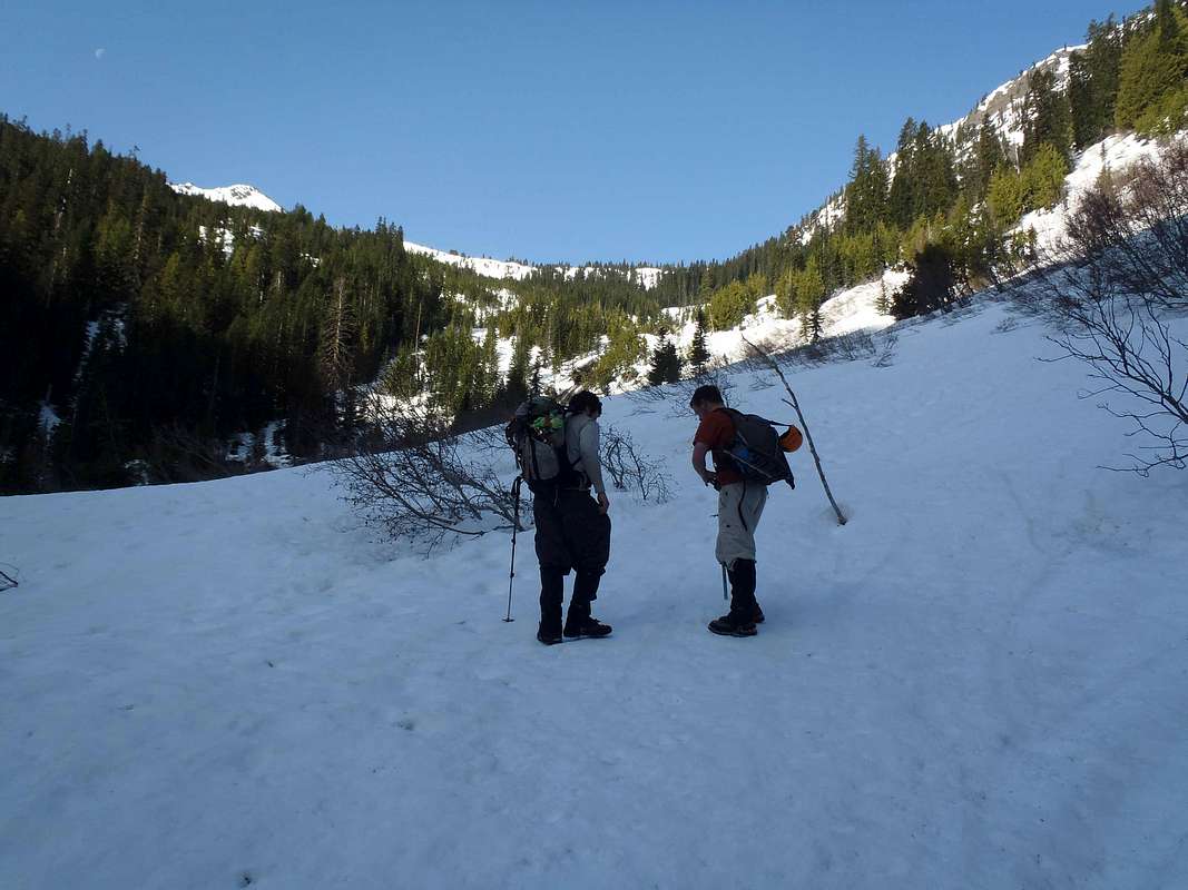
Adam and Josh at nearly 4000' elevation along the Henry Creek approach for Jim Hill Mountain. They had just left the forested (lower) half of the route, and were entering the more-open upper half of the route.
The route section seen in this photo is where it crosses slide alder slopes (snow-covered, in this photo) towards a waterfall. The route then goes around the right side of the waterfall and briefly crosses through a small grove of evergreen trees before entering a wide open upper gully.
In this photo, the false summit hill of Jim Hill Mountain can be seen (background-left). However, the true summit hill of Jim Hill Mountain cannot be seen until reaching the top of Jim Hill Mountain's north ridge.
Photo taken on May 12, 2012.


