|
|
Route |
|---|---|
|
|
45.92110°N / 10.96250°E |
|
|
Hiking |
|
|
Summer |
|
|
easy |
|
|
Overview
A loop from Lago di Garda to the Monte Stivo with amazing panoramas
Hike to monte Stivo 2059 m.along the southeast crest.
Getting There
From the A22 highway choose exit Rovereto Sud and follow the directions for Lake Garda. As soon as you reach Loppio, turn to the right and follow the signs for Ronzo-Chienis then turn left and follow the directions for Passo Santa Barbara. When you reach Santa Barbara, turn right for the Sant Antonio village. |
Route Description
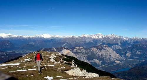
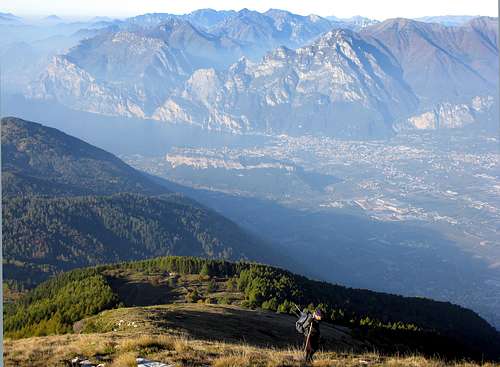
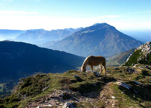
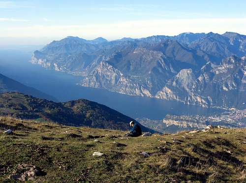
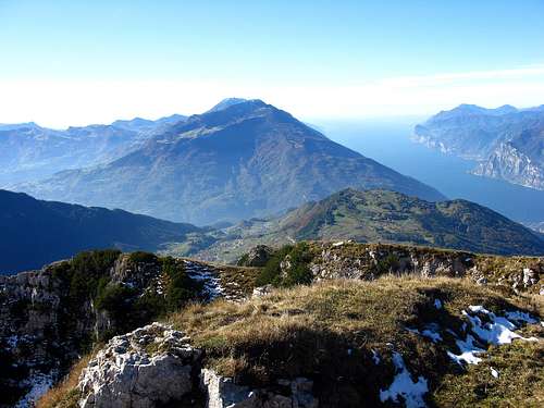
The trail starts from the Saint Antonio village and for the first part it follows a paved road that connects to the 608B path. The road starts to rise into the woods and after 10 minutes you reach the locationcalled 'Le Prese'. .You are just at the bottom of the mountain and you can see the green fields where cows and horses graze. A few meters more and you will see a beautiful landscape, with Lake Garda in the southern direction and the other mountains all around. The path starts to rise and following the direction 608 ( ( or climb along the crest) you reach 'Malga Stivo' before and then the Rifugio Marchetti on the Stivo mountain at 2000 meters altitude. (gardatrekking)
|
Essential Gear
Hiking gear is sufficient
External Links
