
-
 17904 Hits
-
 73.75% Score
-
 4 Votes
|
|
Route |
|---|---|
|
|
39.02110°N / 106.4192°W |
|
|
Mountaineering, Skiing |
|
|
Spring, Summer |
|
|
A long day |
|
|
Advanced Snow Climb; Extreme Ski Descent, D13 |
|
|
III |
|
|
Overview
Hopeful Couloir is Mount Hope's superior mountaineering route. Hopeful is located on Hope's rugged northeast face. Hopeful Couloir is in condition for climbing spring to early summer. Conditions can be checked from US 24 south of Leadville or from CO 82 near Twin Lakes.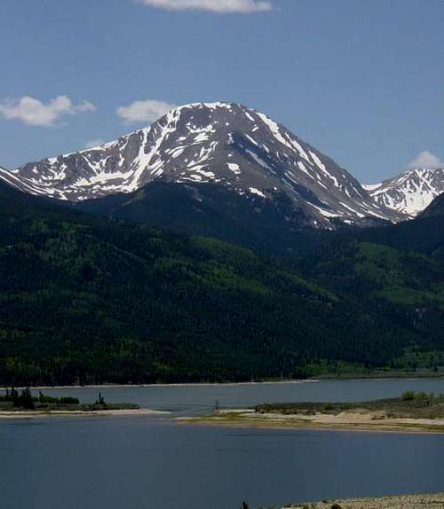 Hopeful Couloir Ascends Looker's Left to the Summit Ridge. Photo: Alan Ellis
 Climbing Hopeful Couloir
Getting There
If only climbing Mount Hope the easiest trailhead to start from is the Sheep Gulch Trailhead. Directions to the Sheep Gulch Trailhead can be found on Mount Hope's main page. Follow the East Ridge Route to Hope Pass. Descend 0.2 miles north on the Hope Pass Trail to 12,200' on Hope Pass' north side.If climbing Mount Hope in conjunction with Quail Mountain and skiing the north gully, the easiest trailhead to start from is the Willis Gulch Trailhead.
Willis Gulch TH:
Drive 8.4 miles west on CO 82 from US 24 or 15.3 east from Independence Pass. Turn south onto a signed, dirt road. Drive 120 yards southwest. Park here. Follow a bridge across Lake Creek. Continue 100 yards south to a sign indicating no motorized travel allowed beyond this point. This is the start of the Willis Gulch Trail. Follow the Willis Gulch Trail 2.5 miles to a junction at 10,300'. Follow the Little Willis Gulch Trail into Little Willis Gulch and to a lake at 11,780'. Hopeful Couloir will be directly in front of you.
 Hopeful Couloir from Willis Gulch Trailhead
Route Description
Climb the couloir avoiding the cornice by staying to the left (red). The slope angle approaches 50 degrees.To avoid the steepest snow and reduce cornice exposure, exit the couloir to the left just below the summit cornice at 13,700' (blue). The slope angle never exceeds 45 degrees.
Alternatively, exit the couloir to the left at 13,500' (green).
To avoid cornice exposure altogether, exit the couloir to the left at 12,800' and climb another, smaller couloir to the east ridge (yellow).
 Hopeful Couloir
Essential Gear
Crampons. Ice axe if uncomfortable on steep, frozen snow.Credits
fritzsperry for informing me of this route.Colorado's Thirteeners From Hikes to Climbs