Viewing: 1-1 of 1

el guano - Sep 5, 2006 4:25 pm - Voted 10/10
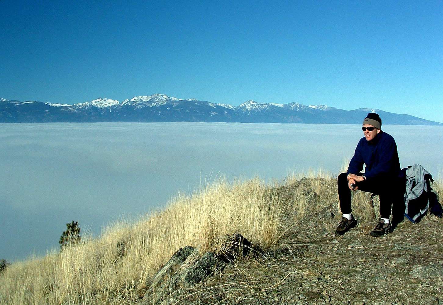
Great PhotoThats a great perspective, Very nice photo.
Cheers, Corey
Viewing: 1-1 of 1


Thats a great perspective, Very nice photo.
Cheers, Corey


Comments
Post a Comment