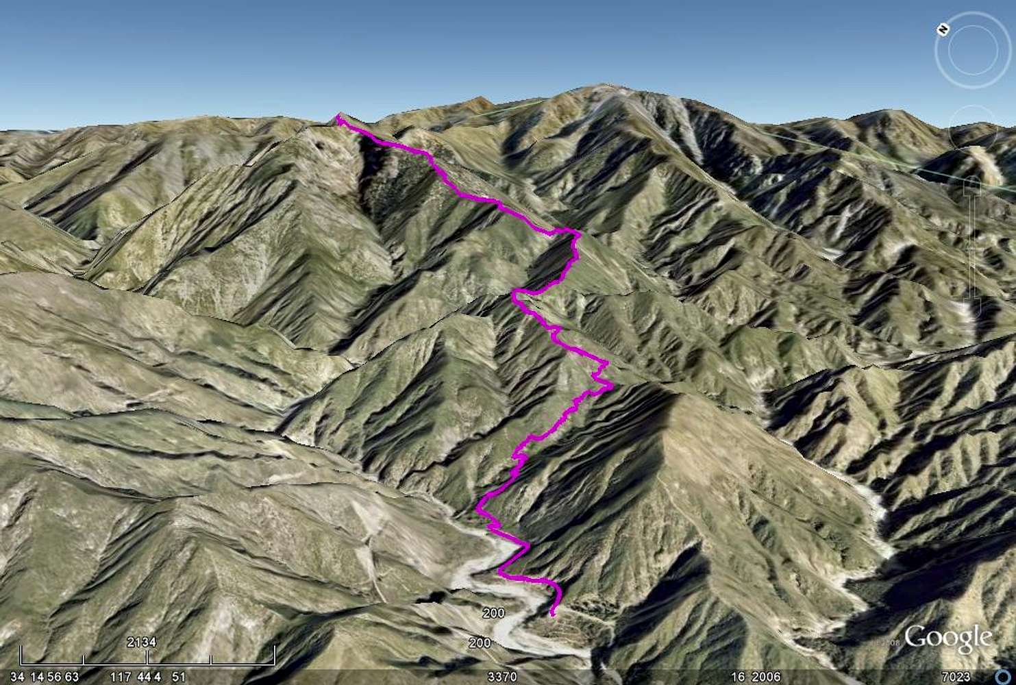
Overview of the Heaton Flat Trail up Iron Mountain. From the East Fork trailhead it climbs up first a small canyon up to the ridge and basically follows the southwest ridge to the summit. The trail is about 13.5 miles in and out with ~7,500 feet of elevation gain in total. An image with description can be found
here.


