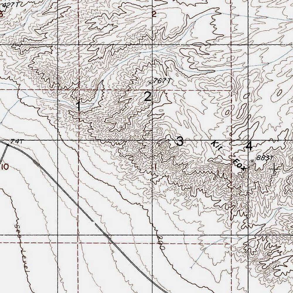
1: The canyon providing the easiest access to the highpoint.
2: The point I accessed via a steep, indescribably loose ridge scramble-- not recommended.
3: The highpoint I reached according to my GPS device. I got an elevation reading of 772', but the map suggests the elevation is closer to 820'. There was a cairn up there, and the summit appeared to be the highest point, but a nearby summit looked close.
4: What the map marks as the highpoint. It is about the right distance, by the map, from what I thought was the highpoint. The short trip over to it (maybe a mile) did not look difficult.
Death Valley National Park, CA


