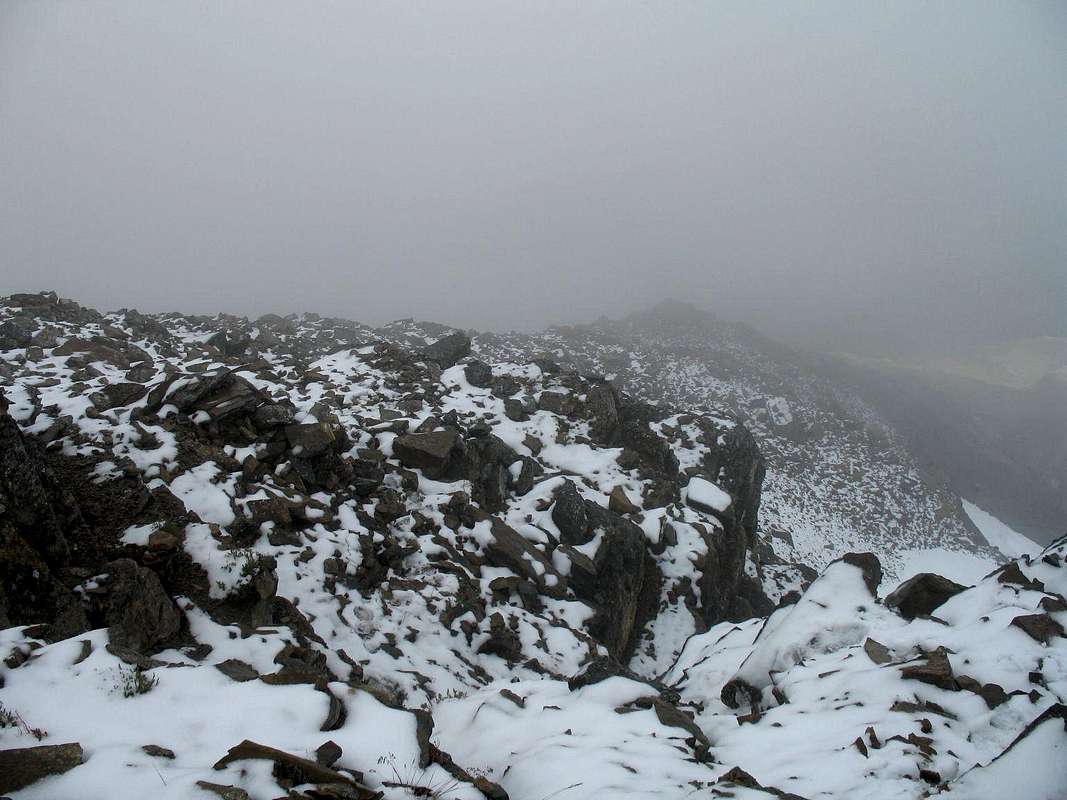
Picture taken looking back down the North Basin Route. Bad perspective because of the clouds but it gives you a feel for the type of rock, the scale, and the exposure towards the Eastern Snowfield. For reference you can sort of make out Gunsight Lake in the right side of the picture at the bottom of the ridge and the Eastern Snowfield in the bottom right of the picture to the right of the ridge. Picture taken: August 20, 2007, approx. 8500-9000 ft.


