Viewing: 1-3 of 3
Paul Burkholder - Oct 29, 2006 8:07 pm - Hasn't voted
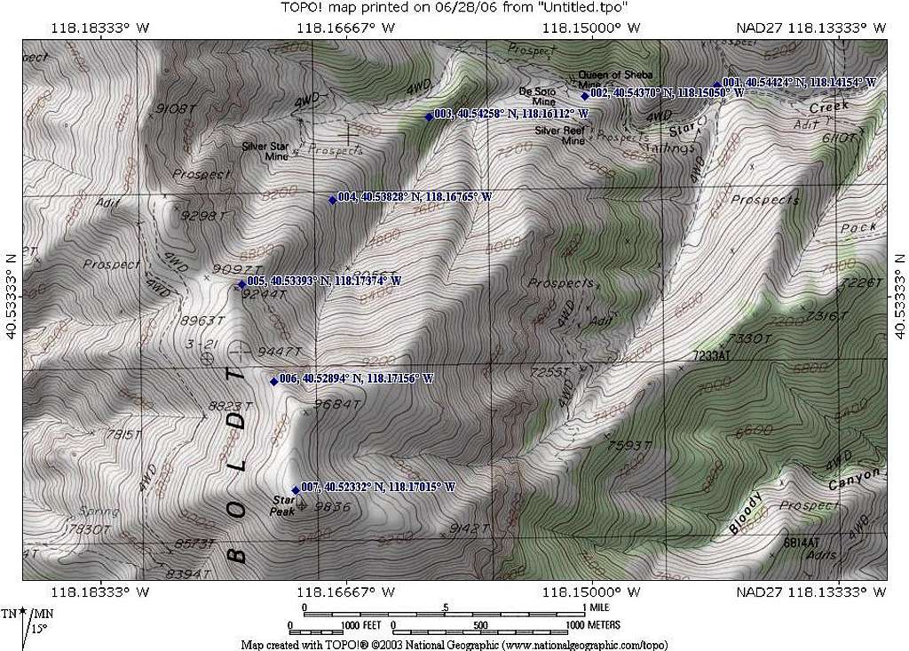
Congrats Dean!!I know you have been eyeing Star Peak for a while. You're right about the ski potential of the slopes near your route. The bowl/gulley directly below the communication site is one of my favorite runs anywhere (and I have skied more than a few)!
Dean - Oct 29, 2006 10:02 pm - Hasn't voted
Re: Congrats Dean!!I'm afraid this one has just whet my appetite for more of your Nevada peaks. Thanks for all your help on getting me to try the east side.
Deepbluesky - Feb 1, 2015 1:50 am - Hasn't voted
Star Peak Winter ClimbSeeking advice about a winter route, including which access roads, current snow conditions, avalanche risk. Really appreciate any feedback. Robert
Viewing: 1-3 of 3


Comments
Post a Comment