

peterbud - Mar 16, 2009 8:02 am - Voted 10/10
So howdid you manage not to get shot or imprisoned, daring to hike in the border area? :)

yatsek - Mar 16, 2009 8:09 am - Hasn't voted
Re: So howI'd given up the idea of trying to set foot on Czarnohora and was happy just gazing at it from across the trenches :)
yatsek - Mar 16, 2009 9:22 am - Hasn't voted
Re: So howJust occurred to me my both Slavic and Hungarian genes must've guided me safely:)

LukZem - Jul 19, 2010 7:11 am - Voted 10/10
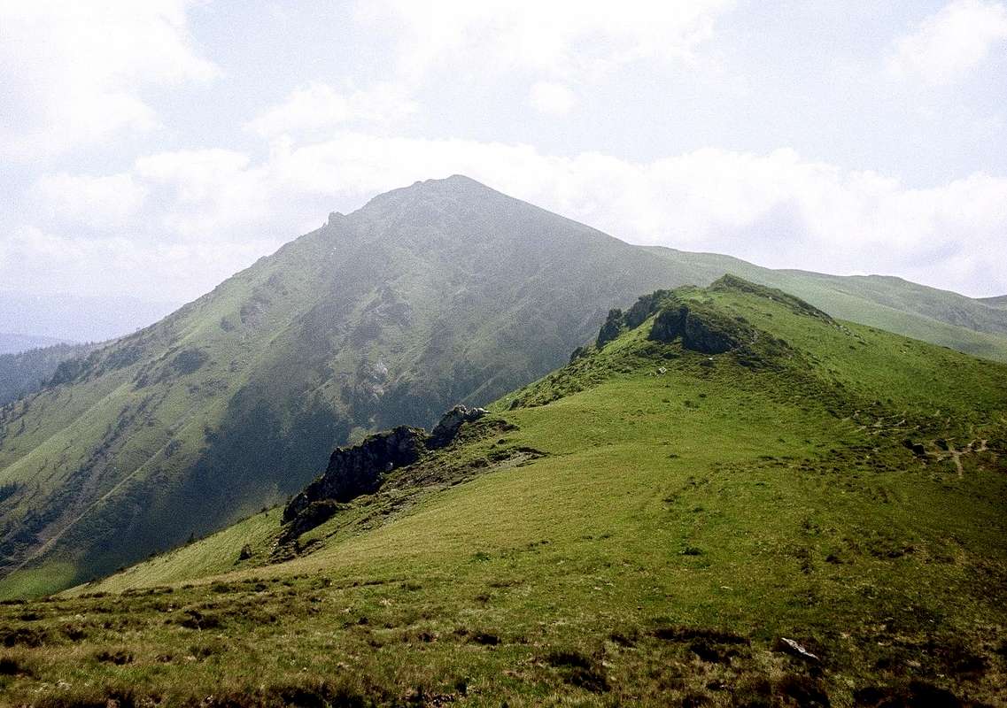
Re: So howOne of the most precious photos, I have ever seen, because of hard access during communist era. Did you encounter a five fences on the border? (Described by MILOSLAV NEVRLÝ)
yatsek - Jul 19, 2010 9:25 am - Hasn't voted
Re: So howActually, I must confess, it wasn't that adventurous at all as we only went as far as the summit of Farcaul, trying to follow a route described in Rumunske a bulharske hory by Jiri Cizek, Praha 1978. We saw the frontier and the old trenches but they were over two miles away. And we could see the Chornohora quite well, even managed to take some pix but not long ago I threw the old slides away, hoping some modern quality stuff shows up, and now you've made my dream come true.:) If we'd tried to set foot on Pip Ivan, we would've experienced - without a shadow of doubt - what you did last January.
LukZem - Aug 29, 2010 1:34 pm - Voted 10/10
Re: So howNow I fully recognize this scenery. Vinderel lake is hidden behind this descending slope of Farcau mountain.
yatsek - Aug 29, 2010 5:23 pm - Hasn't voted
Re: So howI must admit I couldn't remember that! Actually, it seemed to me I'd shot this from the other side (maybe because of the fact that we descended Farcau via the same route) although something did look wrong. This makes me think that the coordinates should be given for the spot that the photo was taken from (on condition that you remember that :)) rather than for the peak in the picture (I gave the latter).


Comments
Post a Comment