
|
|
Mountain/Rock |
|---|---|
|
|
33.43079°N / 105.73159°W |
|
|
Download GPX » View Route on Map |
|
|
Hiking |
|
|
Spring, Summer, Fall |
|
|
9641 ft / 2939 m |
|
|
Overview
Rank: Monjeau Peak is New Mexico’s 307th highest ranked peak
Prominence: 541 ft
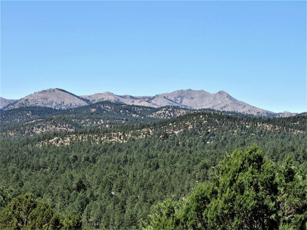
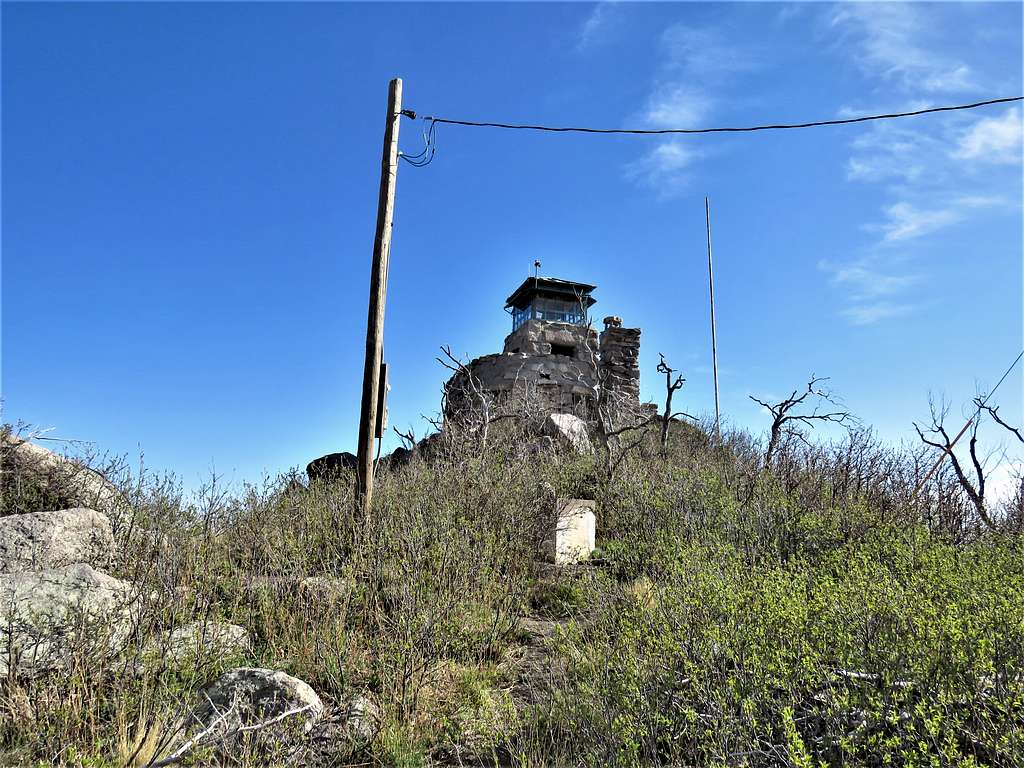
Monjeau Peak rises in southern New Mexico’s Sierra Blanca Range near the town of Ruidoso. It is best known for the beautiful stone observation tower that was constructed on its summit in the 1930s by Civilian Conservation Corp. A dirt road goes all the way to the summit of Monjeau Peak, but the peak can be hiked from the south via Telephone Canyon Trail or from the north via Rodamaker Canyon Trail or Mills Canyon Trail.
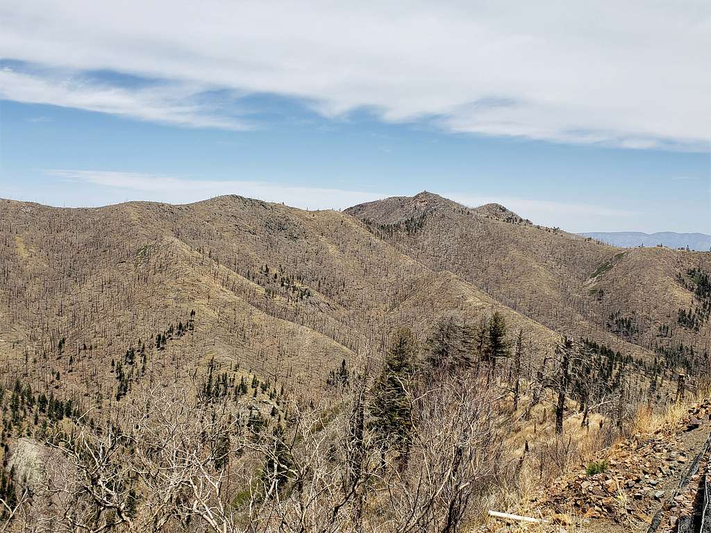
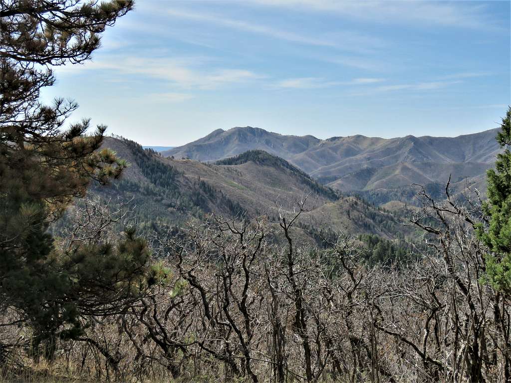
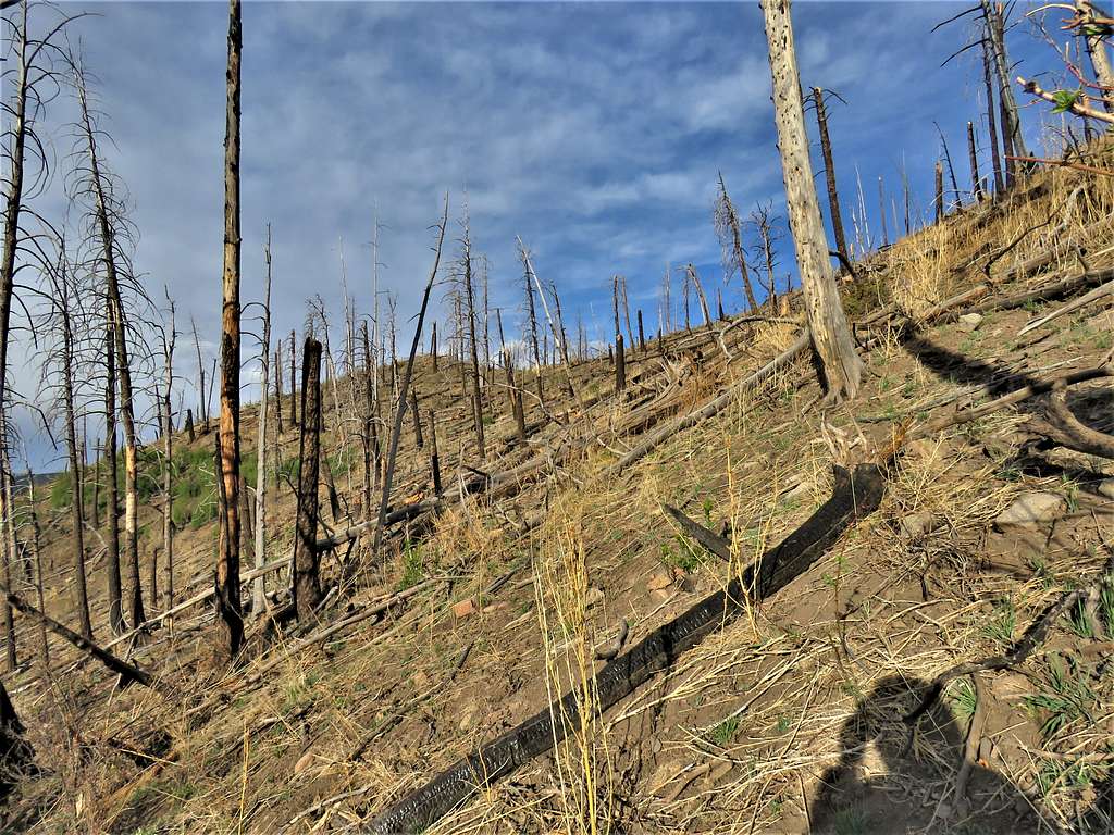
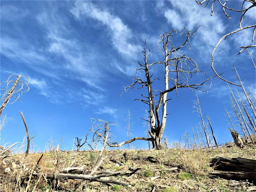
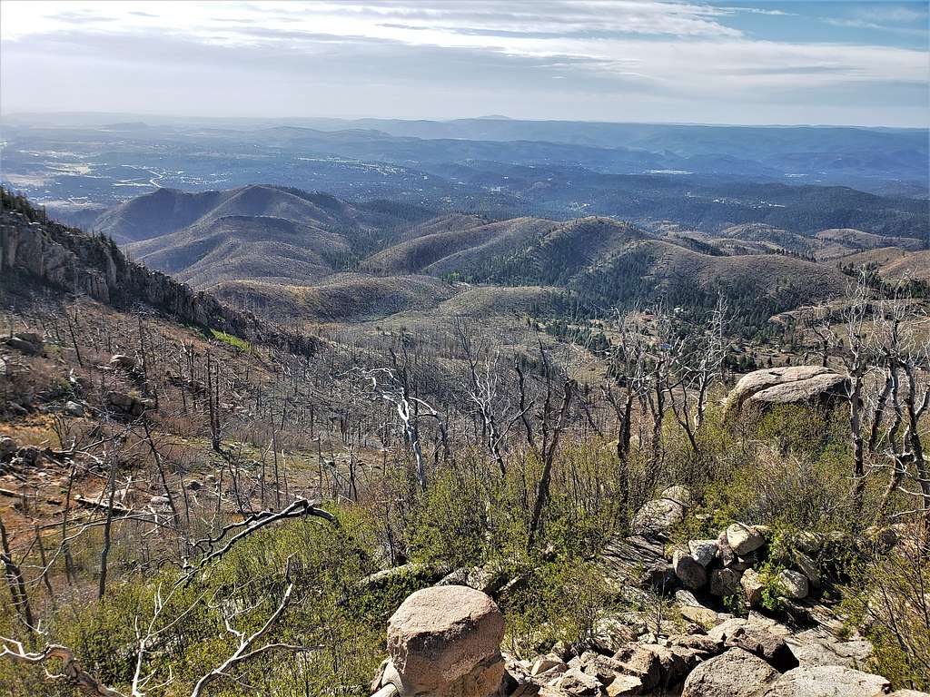
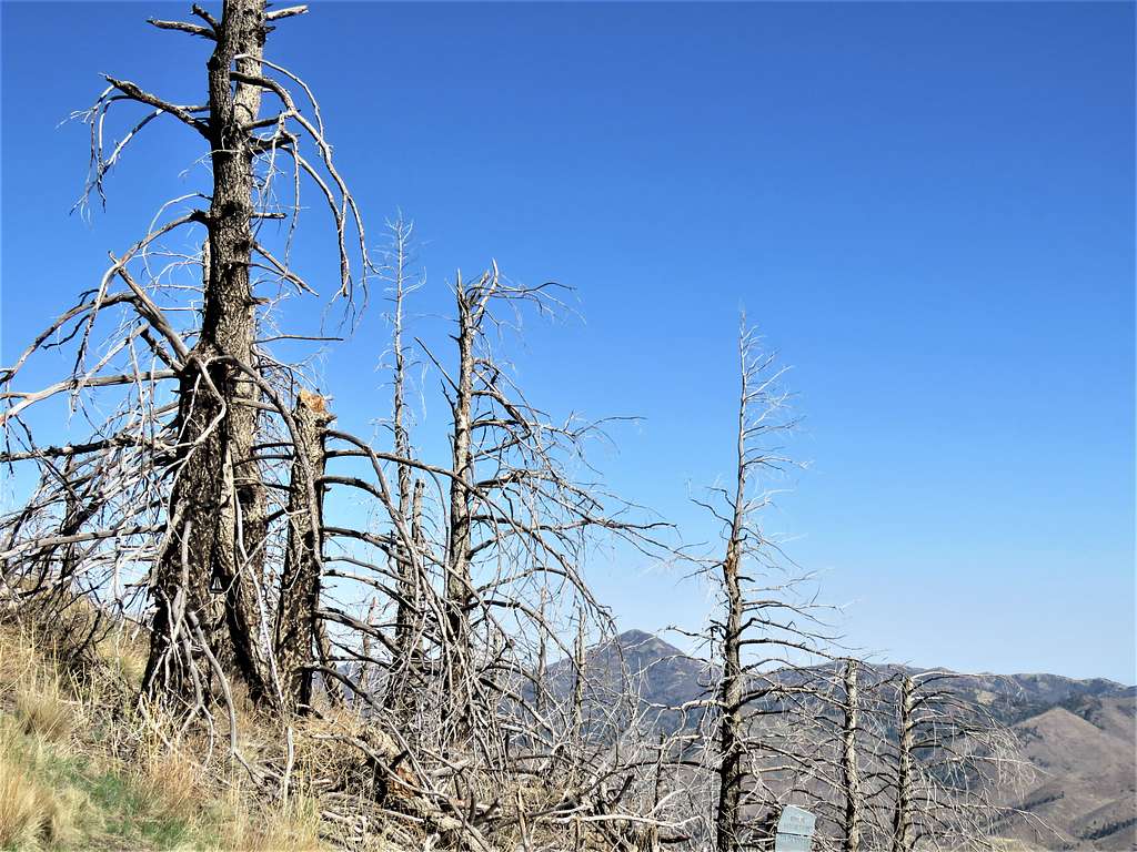
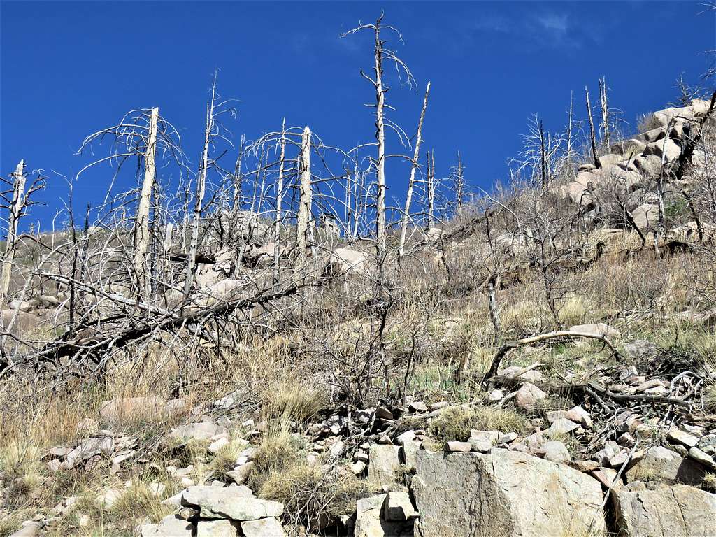
When I hiked to the summit of Monjeau Peak via Telephone Canyon Trail in 2022, I found the forests in a state of complete devastation from the 2012 Little Bear Fire that ravaged the area. The trail was at times, somewhat hard to follow. The observation tower, however provided me with great views of the surrounding mountains as well as the town of Ruidoso.
Getting There
Directions to Telephone Canyon Trailhead:
From Ruidoso, New Mexico, drive roughly 6 miles north on New Mexico Route 48 and turn west onto New Mexico Route 532 (to Ski Apache). Drive 532 for 2.6 miles and turn north onto Forest Road 127 A which I found to be a decently enough graded dirt road. Go 1.3 miles until you reach a locked gate where the trailhead is.
Route/Trip Report
Hike Length: 6.9 miles
Total Ascent: 1850 ft
Elevation at start of Hike: 7830 ft
Summit Elevation: 9641 ft
Wednesday May 4, 2022
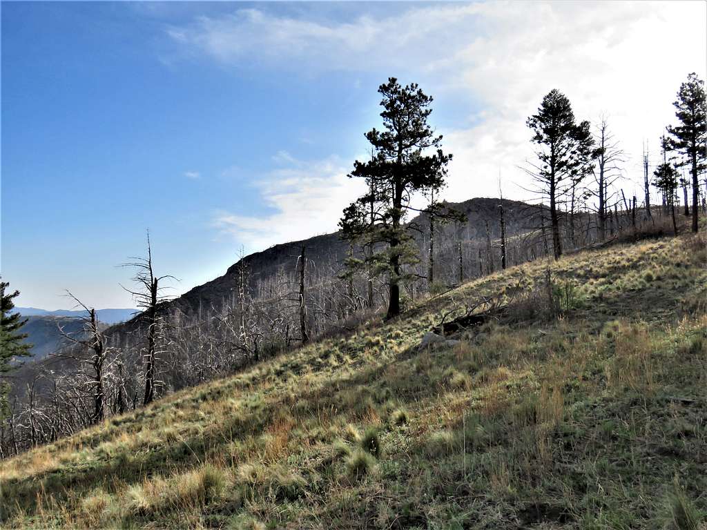
Started my hike at 6:30 AM when it was 52 degrees F and very windy. Went beyond the gate and continued hiking the road which went among a number of private residences. After 0.55 miles, I reached the signed junction with Telephone Canyon Trail. Went past 3 homes and reached the trail going into a forest of burnt trees.
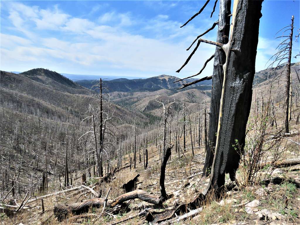
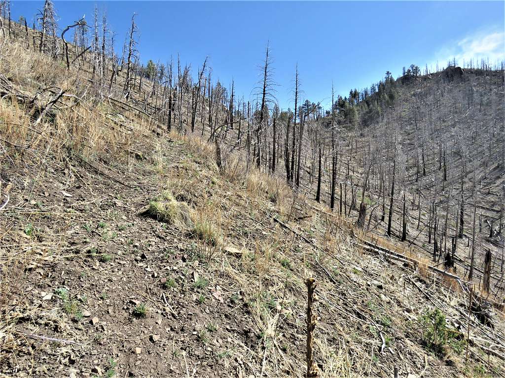
The wind made a ghostly howl which sounded very different than the pleasant sound of the wind in live trees. I was well aware that the wind could cause the dead standing trees to fall but I guess I lived to tell about it and did not see or hear any trees falling. Fallen trees, at times, blocked the path but the trail was fairly easy to follow.
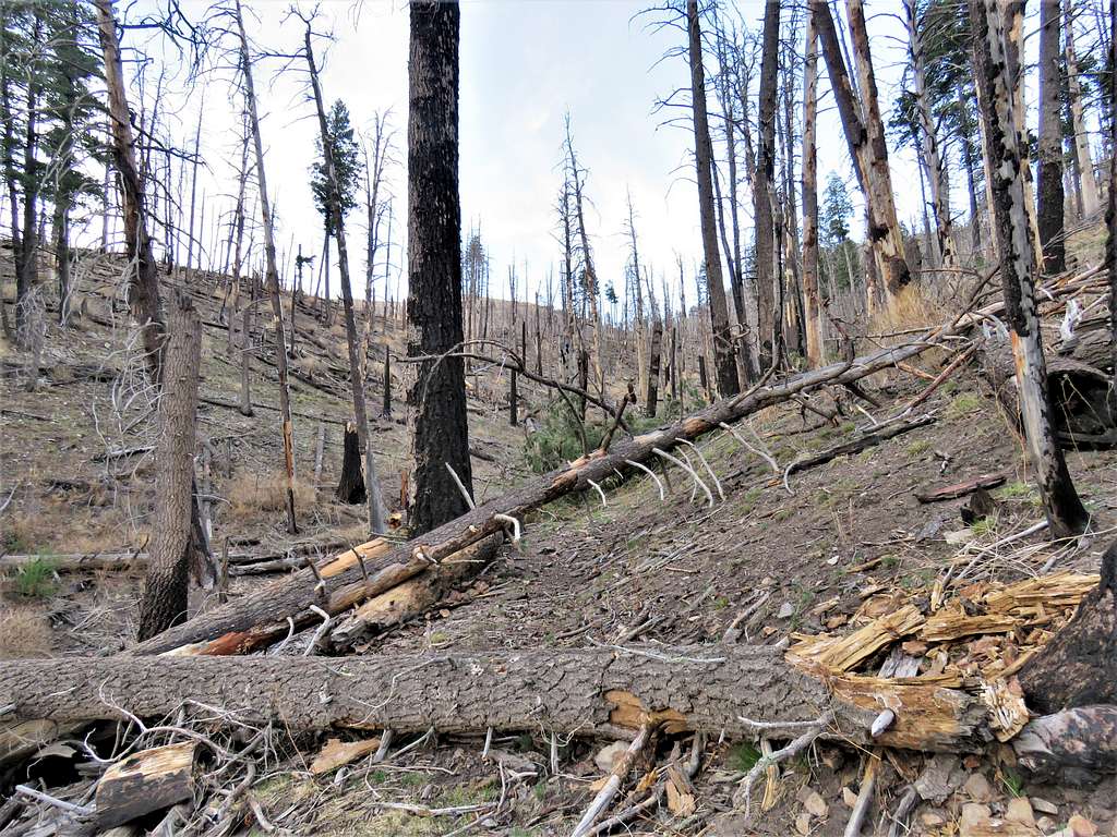
After a turn, I lost the trail. The correct path was in my GPS but due to many obstacles, it took me a while to get back onto the trail.
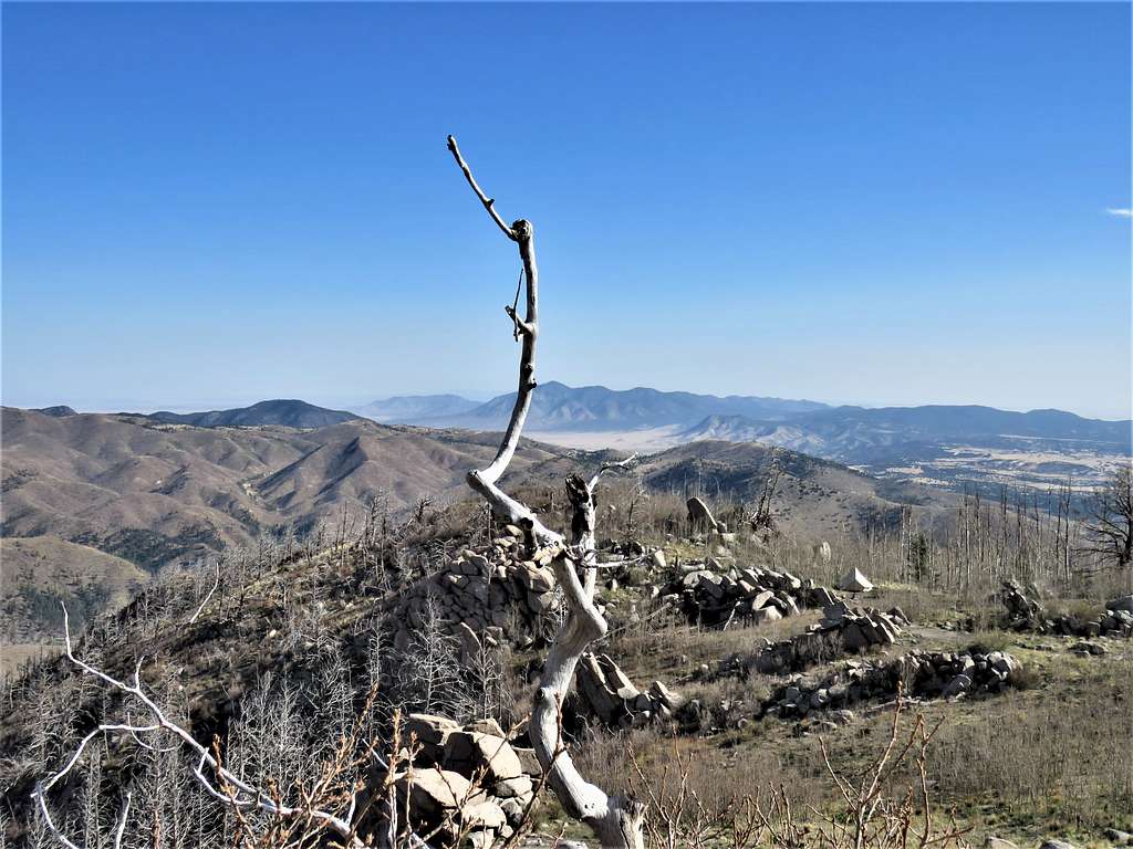
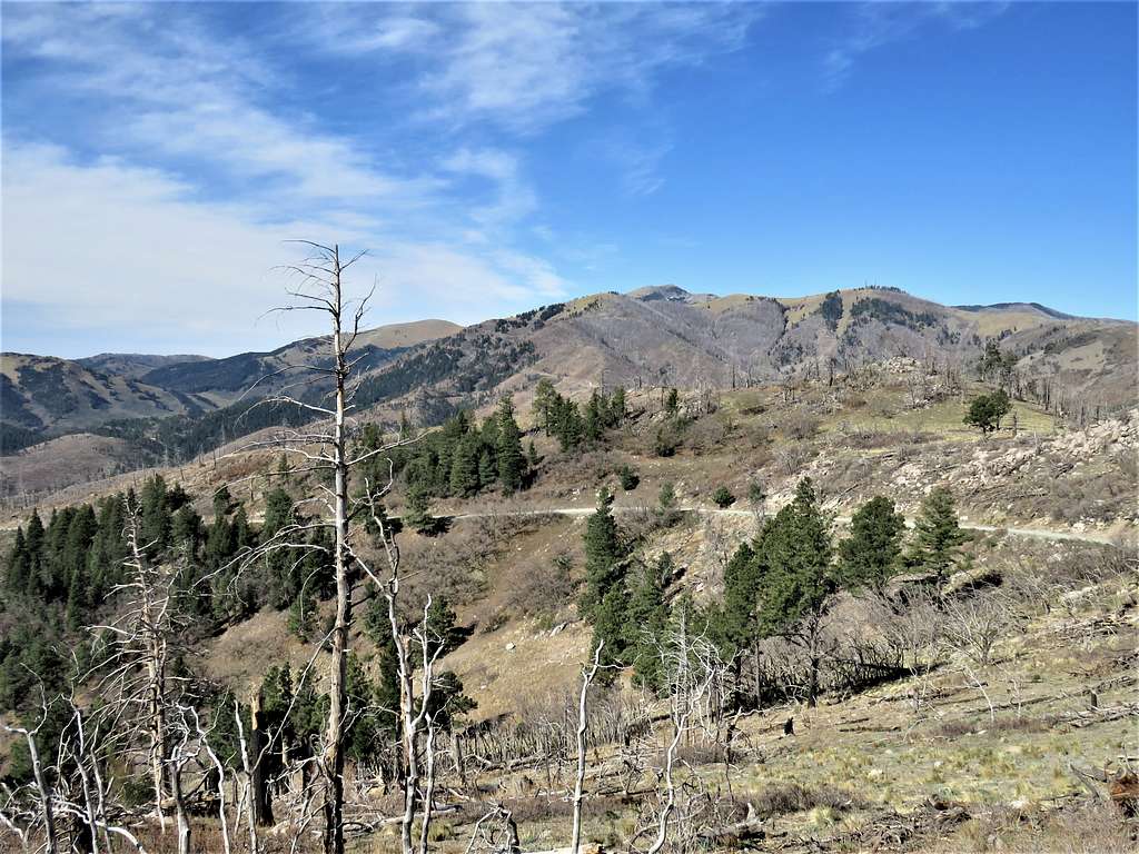
View of Buck Mountain.
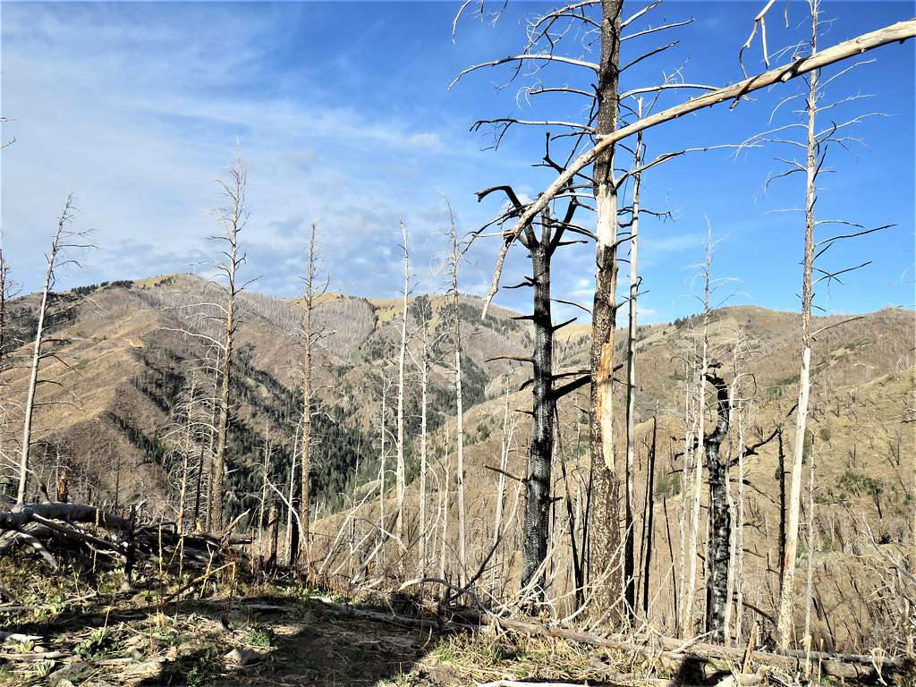
At 7:50 AM, 2.2 miles and an elevation of 9100 ft, I reached a saddle and junction with Crest Trail. View of Nogal Peak.
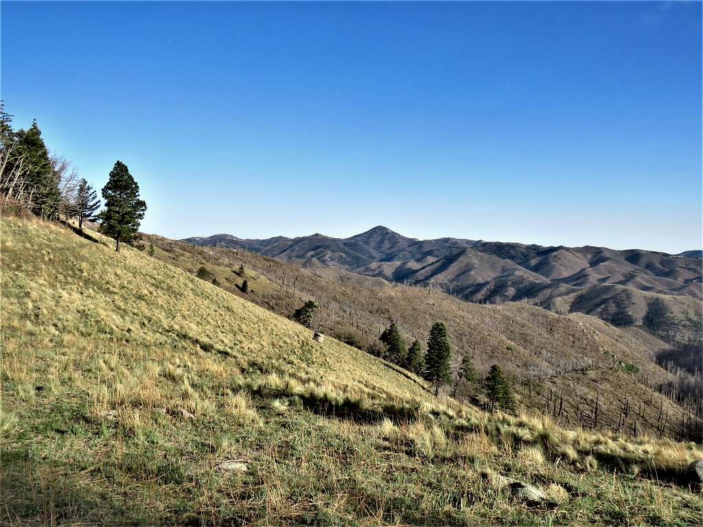
The summit of Monjeau Peak came to view.
Turned east and followed Crest Trail uphill until at 2.55 miles and 9290 ft elevation I was at a parking area on Monjeau Peak Road below the summit. The wind was at times very strong. From the parking, I could have climbed the western ridgeline of Monjeau’s summit but that seemed to get me into area of trees, bushes, rocks and other obstacles. The best path was to follow the road.
Got on the road and hiked it uphill. Fortunately, no vehicles went by. View of the summit observation tower.
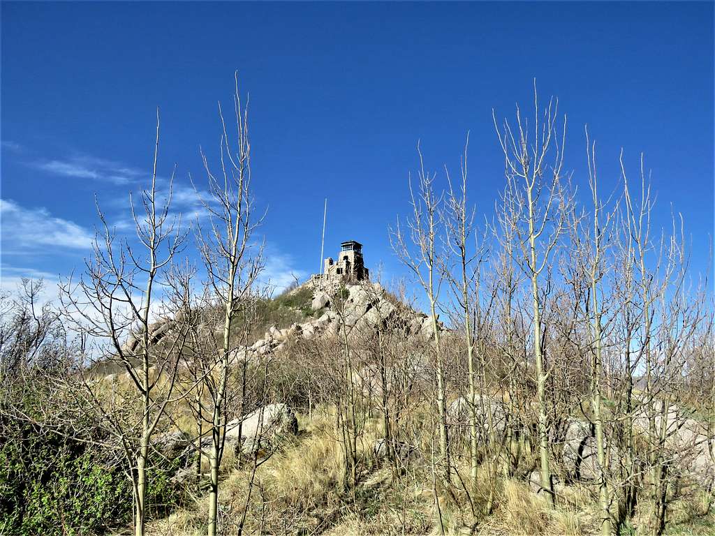
Reached the top of the observation tower at 8:32 AM and 3.48 miles of hiking. No one was there. The wind was very strong and cold. Quickly took a few pictures.
Sierra Blanca Peak.
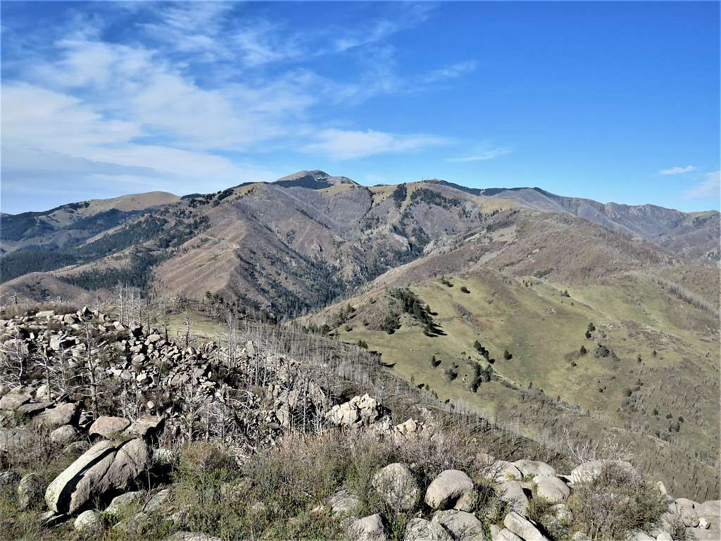
Nogal Peak.
Carrizo Peak and Church Mountain.
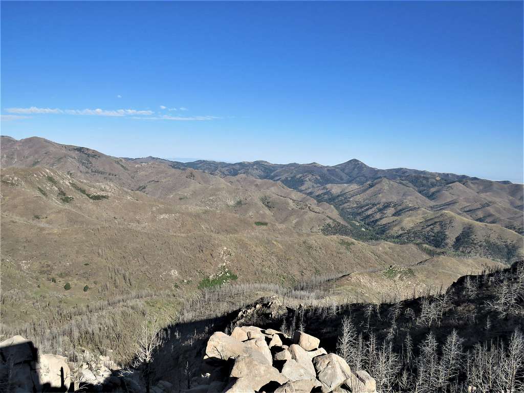
View toward the town of Ruidoso.
Sat behind a wall on the steps of the tower to protect myself from the wind and eat. Left at 8:53 AM. First went to the west side of the tower to get another view.
Got back on the road and began to hike down. A couple of vehicles went by.
Was back on Crest Trail and subsequently Telephone Canyon Trail.
Reached my Jeep at 10:30 AM.
Red Tape
No fees or permits needed.
When to Climb
Spring, summer and fall.
Spring is the dry season, summer is wet season.