
|
|
Mountain/Rock |
|---|---|
|
|
47.78627°N / 121.15965°W |
|
|
Snohomish |
|
|
5409 ft / 1649 m |
|
|
Overview
Tall Halla Mountain (occasionally called 'D Mountain') is the unofficial designation given to a 5409' forested peak located four miles northwest of Stevens Pass, and four miles northeast of Mount Fernow. It is, by all rights, the true summit of Valhalla Mountain (which, based on prominence, is not a real mountain at all).
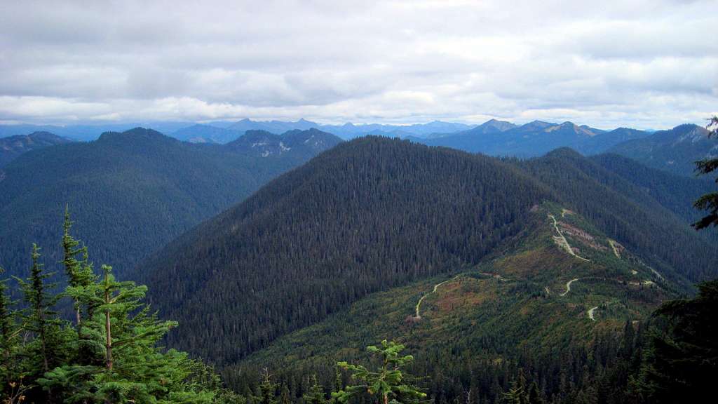
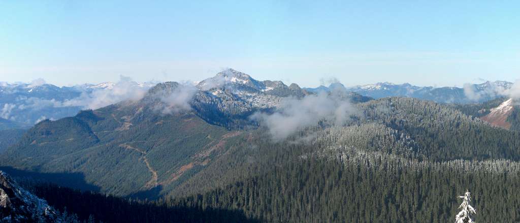
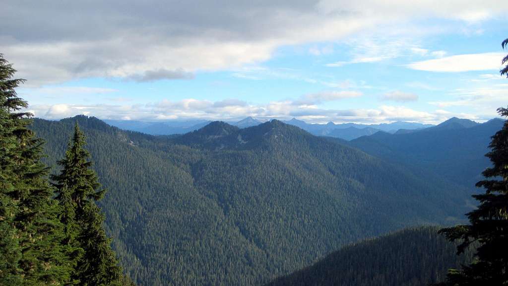
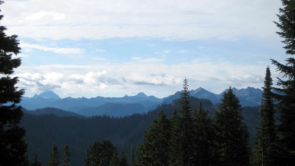
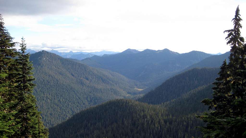
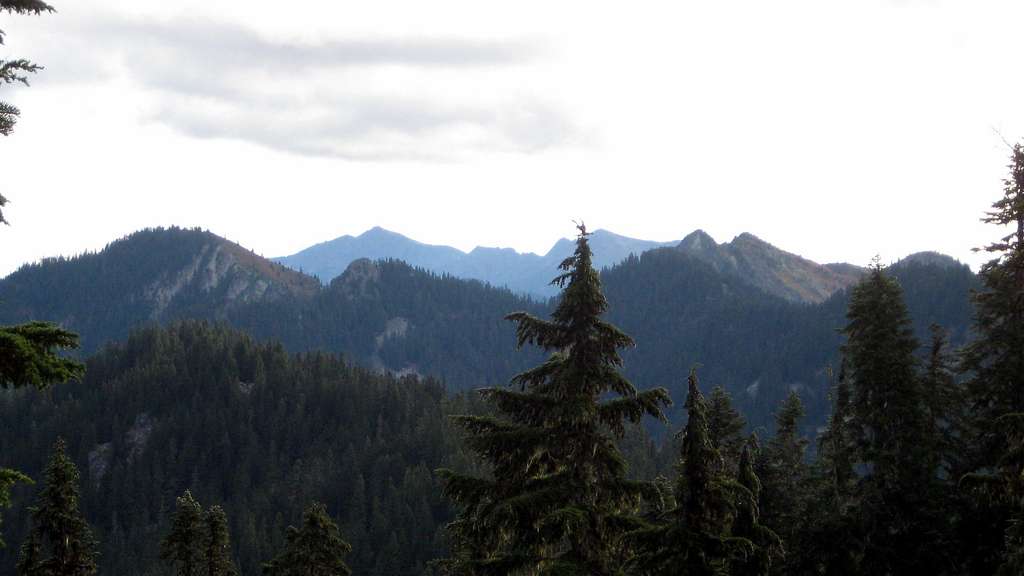
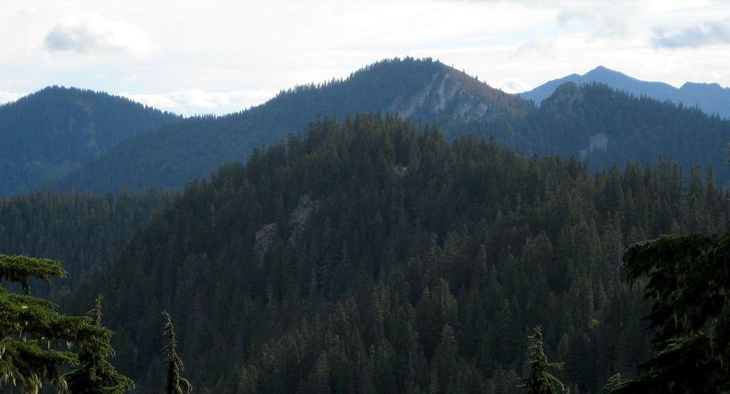
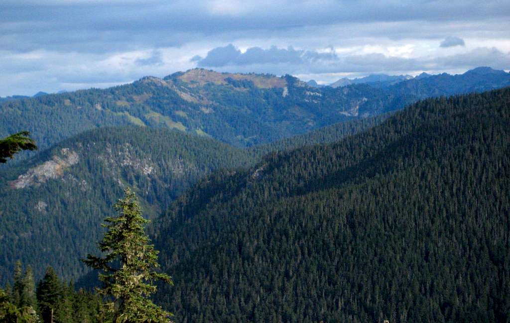
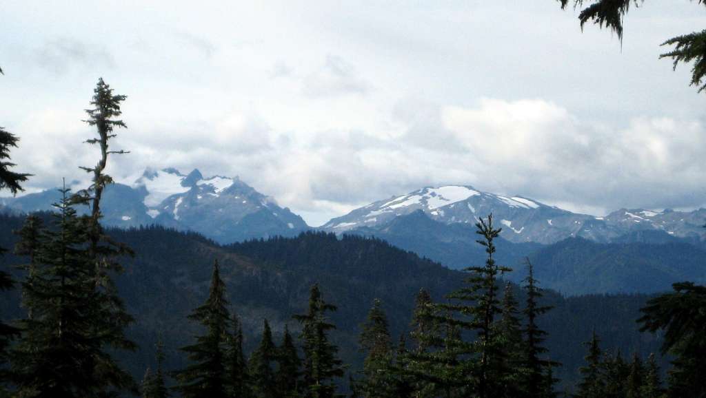
While Tall Halla Mountain will not win any awards for its views, there are enough partial views near the summit to make the relatively easy journey worthwhile, and the 749' of prominence may be just enough to tempt local peakbaggers.
Most Tall Halla Mountain trip reports online describe an approach made from the east via Stevens Pass or Yodelin (sample here). While this may very well be the easiest approach in the dead of winter, to me it seems to involve a lot of distance and elevation gain for what many would consider a 'dumpster dive'. For this reason, this page will describe the relatively easy Martin Creek approach, which can be combined with Captain Point and 'Golden Peaks' for a nice '3fer'.
Note: The 'Valhalla Mountain' page on Summitpost does not actually apply to Valhalla Mountain, but the 5580' high point located west of Lake Valhalla. The ‘real’ Valhalla Mountain is a short, simple scramble from Tall Halla Mountain.
Getting There
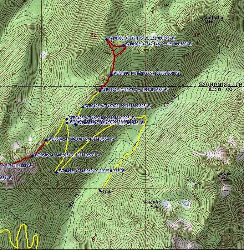
Follow US2 approximately six miles east from Skykomish, then turn left on the 'Old Cascade Highway'. Please note that there are several places along US2 where one can access the 'Old Cascade Highway' - the one you want is easy to locate as it is directly abeam US2's mile marker 55. Follow the Old Cascade Highway for just over two miles, then turn left on FR6710. Follow FR6710 for 3.4 miles (passing the Iron Goat Trailhead along the way), where a left hand turn will descend toward Martin Creek. This will be the start of the route for those who wish to traverse over from Captain Point (please see associated page for more details). For those who just wish to scramble up Tall Halla Mountain, continue another 1.6 miles up FR6710, where a locked blue gate will impede further progress.
Route
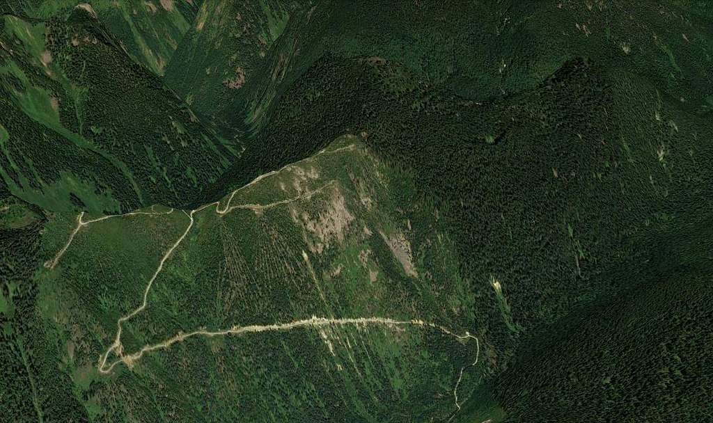
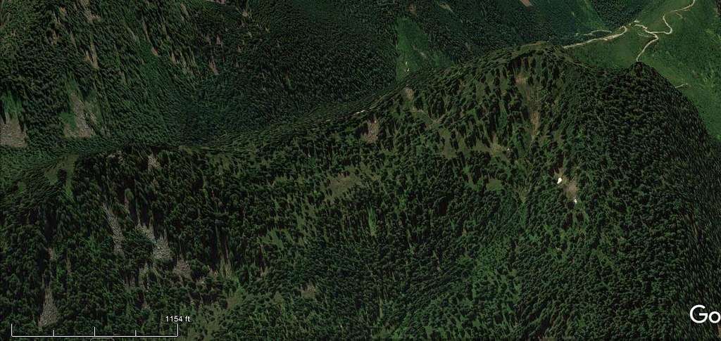
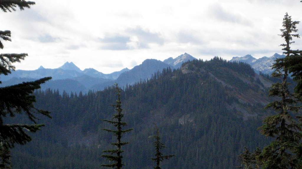
From the blue gate, simply begin following the gravel road up the Martin Creek Valley. Walking this section is a perfectly acceptable option, but a mountain bike will save you some time if you are so equipped (at least on the downhill). It was interesting to note that there were no signs prohibiting motorized vehicles at the gate - if you are lucky enough to have access to an offroad motorcycle or electric mountain bike, it will turn Tall Halla Mountain into a mere 15 minute scramble. After two large switchbacks and 2.6 miles of travel, you will arrive at the 4660' saddle between Captain Point/Golden Peaks and Tall Halla Mountain. Here, you will encounter three intersections in rapid succession. Taking a right, right, and a left will get you where you want to go (please see the image above for more detail). Shortly before the end of the road, you will arrive at an open area that provides a 360 degree view - arguably, the best view on the mountain.
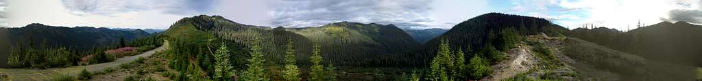
Upon reaching the end of the road at 4880', lock up your bike (you did bring a bike, didn't you?), and begin scrambling through easy open timber up Tall Halla's southwest ridge. While one could certainly take this ridge all the way to the summit, you will miss out on some views if you do so. Instead, consider making a traverse over to the southeast ridge at about 5200'. Along the way, you will pass through some south facing meadows, and the final ridge scramble will give pleasing views to the northeast.
Views from Tall Halla are certainly nothing to write home about, but for a 'dumpster dive' it's really not too bad.
Red Tape
A Northwest Forest Pass will only be required for those parking at Stevens Pass.
When to Climb
Tall Halla Mountain is climbed in all months of the year. In the winter, the ascent is generally made from Yodelin (see link above).
Camping
There are several spots near the summit of Tall Halla Mountain that would be acceptable for camping. As it is a relatively quick scramble, I'm not sure why anyone would want to.