
|
|
Mountain/Rock |
|---|---|
|
|
39.65085°N / 119.9391°W |
|
|
Washoe |
|
|
Hiking |
|
|
Spring, Fall, Winter |
|
|
6018 ft / 1834 m |
|
|
Overview
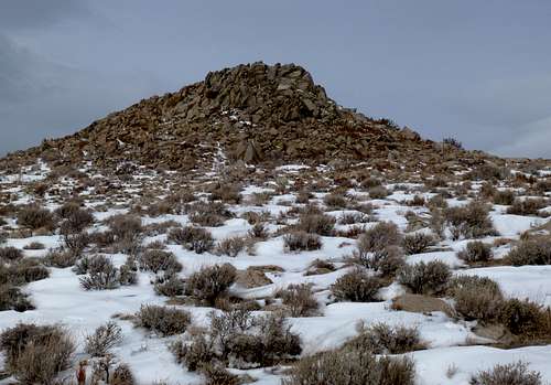
Located about 15 minutes from downtown Reno, Nevada, the Granite Hills are a series of rocky hills crossed by numerous dirt roads and full of brush and windswept plateaus. The Granite Hills aren’t too much different from other hills in the area. They are similar to the nearby summits in the Northern Lemmon Valley, including Peak 6021, Peak 6041, and Hungry Mountain. The Granite Hills are west of the Lemmon Valley, rising just west of Silver Lake, which rarely has much water in it to even call it a lake. On the west side is the White Lake Playa. The Granite Hills run about 5 1/2 miles north-south with a prominence of nearly 670' at the highest point.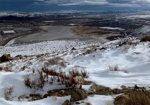
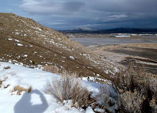
View east from the descent down to Silver Lake. Christmas 2012.
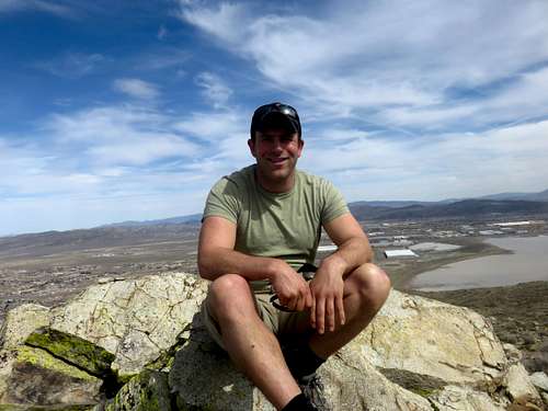
On the summit looking east. March 19, 2016.
The accessibility of the Granite Hills cannot be overstated. With two primary trailheads within about half a mile off a major highway (US 395) just minutes from downtown Reno, these hills are practically in the backyard of tens of thousand of nearby residents. Another primary route from the northwest isn't much further off the highway.
The Granite Hills clearly see visitors, but they are dramatically overshadowed by nearby Peavine Peak 8,266’, which dominates the view south from the Granite Hills.
Peavine Peak north face from the Granite Hills - Christmas Day 2012
Although there are a number of ways to reach the table-like highpoint of the Granite Hills, there are three primary starting points, all of which are not far off of US 395.
Once on the summit, there are tremendous views of nearby desert peaks. The best time to hike here is probably in late fall (Nov-Dec), mid-winter (Late Jan-Feb), when it is still dry and often snow free. Spring can be nice, but beware of muddy conditions. Early fall is possible, but only if it isn’t too warm. Winter hiking is certainly doable as well, as long as you stay on the road.
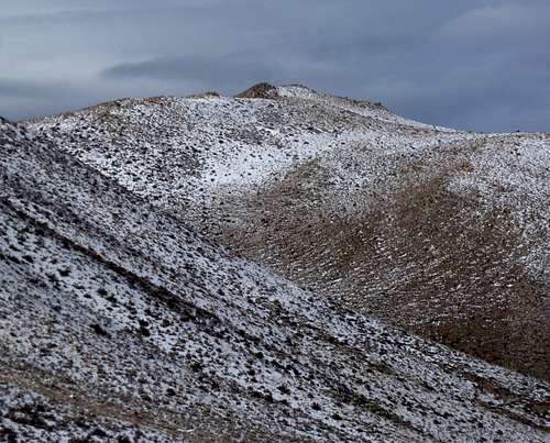
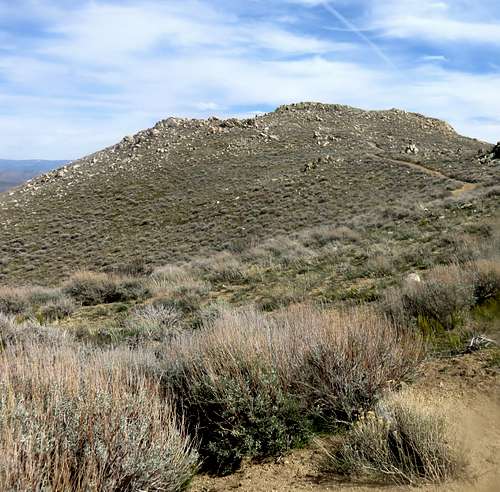
View to the summit from the south
View of the summit from the west
Getting There
For all routes, from Reno drive north on US Highway 395.For the eastern approach take Exit 78 – Red Rock Road. Head north for about ½ mile and there is a dirt road on the left, just across the street from some large warehouses.
The dirt road winds uphill with a view towards a rocky mountainside on the right side. After about ½ mile over 450’ is gained.
Early on the switchbacks, view to Silver Lake
You are now at the base of a road and a very steep hill that climbs 200’ in about 200 yards to the main ridgetop plateau. You can avoid it by staying on the main road, which is more gradual. This adds about ¼ mile each way. The main road continues all the way to the rocky summit, with a little less than two miles to go once atop the plateau. The round trip hiking distance is between 5 ½ and 6 miles. The elevation gain is about 1,100’ one way to the summit.
For the western approach take Exit 80 – Reno Park Blvd. Once off the exit, head north for less than a tenth of a mile, and there is a dirt road on the right side. There is a simple loop hike that can be done. Less than 200 feet up the road is a Y-junction. Take either right or left and you can loop around to the summit and back down. The loop is just over 4 miles and is easy to spot on any satellite map. If taking the left fork up, it is about 1 3/4 miles to the summit gaining about 955'. You reach the top of the road, and the summit is just another half mile or so away. If taking the right fork, it is about 915' in about 2.3 miles. It is recommended you take the left fork up in order to enjoy a more gradual descent.
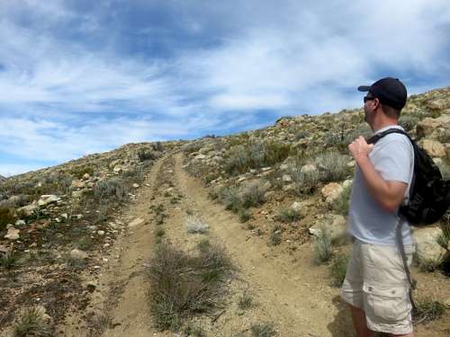
Walking up the left fork road - Western approach
View from the top of the road - Western Approach left fork
For the northwestern approach take Exit 80 – Reno Park Blvd. Continue up Reno Park Blvd for about a mile and a half. Just before entering the residential area of Cold Springs, turn right on Crystal Canyon Blvd. About 200 yards up on the right is a jeep trail where you can park. Head up the road about 1/2 mile, which is very steep (over 500'). Take a right on a large road heading south. This road crests two small hills, and after about a mile you will take a left on a road leading south. After you take the left, follow the road for 250 yards and take a right on another road heading towards the summit. The round trip hiking distance for this route is about 4 miles. The elevation gain is about 1175' one way to the summit.
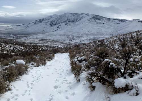
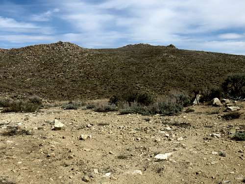
Approaching the Granite Hills High Point