
|
|
Mountain/Rock |
|---|---|
|
|
43.91785°N / 121.35605°W |
|
|
Deschutes |
|
|
Hiking |
|
|
5016 ft / 1529 m |
|
|
Overview
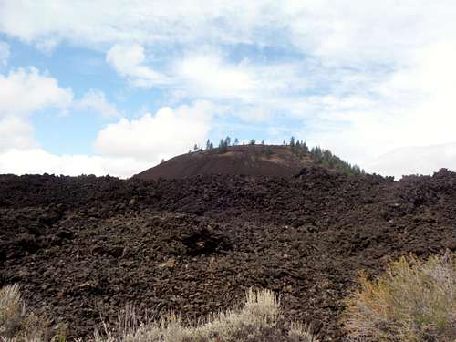
Lava Butte from the visitors center.
Are you looking for a secluded summit that no one has ever been to? Are you interested in a challenging hike or climb? Do you want to do a summit that no one has ever done before. Well Lave Butte is not for you.
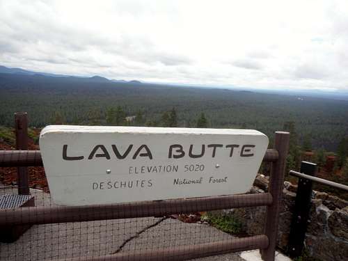 Your summit sign | 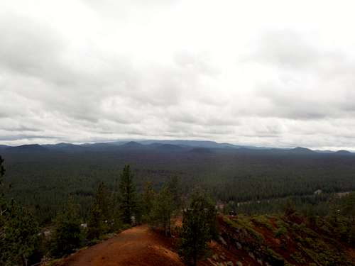 View from the Lookout Tower |
This cinder cone is one of the main attractions in the Newbury National Volcanic Monument. In summer this summit is accessible by car though access is limited by how many people go up. All you needed to go is 75 feet from the road to the summit lookout. During this time it is estimated that 600 people or more head for the top of Lava Butte everyday. There is 1/4 mile trail that goes around the crater and and contains 200 feet or so of elevation gain loss to make your visit seem a little more worthwhile. The summit road is also accessible by foot in winter and if the snow is deep enough make a good winter snow hike. If it is very snowy, snowshoes may be needed for this summit in the dead of winter. This is doubtful though. During winter this is a 3.5 mile and 550 feet elevation gain round-trip.
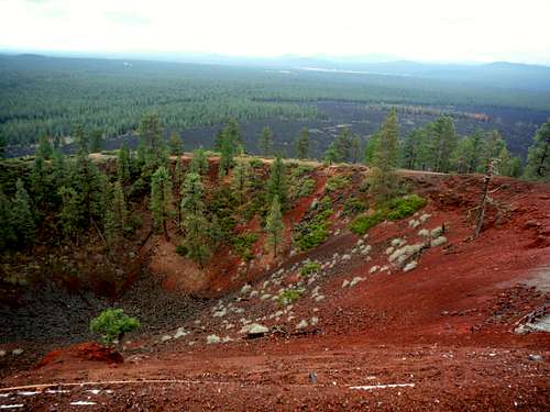 Looking into the Crater | 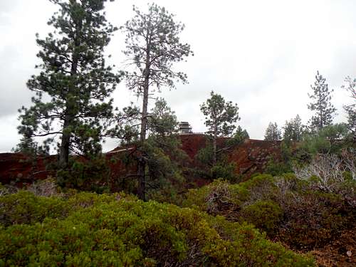 Looking at the lookout tower from the lowest part of the crator |
The cinder cone only experienced one single eruption during it's lifetime. Surrounding the cinder cone is a lava flows that date back to the time of the eruption. There is a nice trail that goes into the lava flow as well. Below at the base of Lava Butte is a visitors center that tells more of the story about Lava Butte
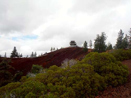
The Lava Butte Lookout Tower
On top of Lava Butte is a very well maintained Lookout Tower that was completely rebuilt in 1998. There is a visitors section below which will give you diagram of all of the summit that you can see from the lookout. Speaking of the views they are actually are very good. From the summit lookout you can the Sisters to the west, Newbury Caldera to the southeast, the Oregon high desert to the east and Jefferson and the city of Bend, Oregon. The 1/4 mile crater rim trail gives even better views of the surrounding area. There are even good shots back at the lookout tower from different vantage point of the rim trail.
![Map of the Route]()
Map of the route-road to the summit
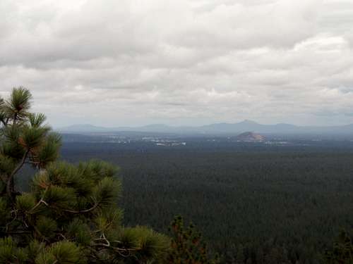 Looking at Bend, Oregon from the summit | 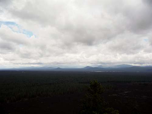 Storms developing over the Cascades! |
Getting There
Lava Butte is 11.7 miles south of Bend Oregon on US 97. From the south get off of the Cottonwood Road and take it north for 2 miles as it parallels Highway 97 before it goes underneath Highway 97 and right to the Lava Lakes Visitors Center. From the north take US 97 11.7 miles south where you will see Lava Butte towering on your right. Just beyond Lava Butte will be ramp to the right leading to the Lava Lands Visitors Center.Route
There is one route up. That is the road up to the final summit steps. In summer this road is filled with cars though you can walk up the road. Winter will be better if you are looking at more of a secluded feel.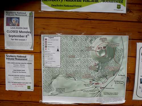
Map of the route-road to the summit