
|
|
Mountain/Rock |
|---|---|
|
|
38.63236°N / 119.61828°W |
|
|
Alpine |
|
|
Hiking |
|
|
Spring, Summer, Fall, Winter |
|
|
8930 ft / 2722 m |
|
|
Overview
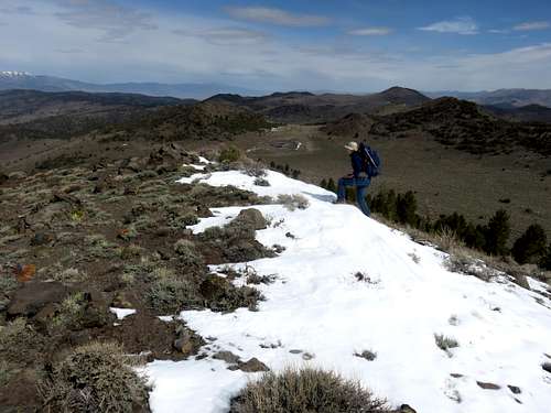 View north from the summit towards Monitor Pass
Getting There
From the west: From the junction of Hwy. 4 with Hwy. 89, 5 miles south of Markleeville continue east on Hwy. 89 about 8 miles to to the parking area. From the east: From the junction with Hwy. 395 south of Topaz Lake, enter California from the north and drive a few miles to the sign for Hwy 89 west. Take this road as it winds up to Monitor Pass, which is about 10 miles up the road. Drive past Monitor Pass and park 1/2 mile further on the left (south) side of the road at an obvious parking area.
A second option is to start at Heenan Lake. If coming from the west, this is on the right about 4 miles after getting on Hwy 89. If coming from the east, it is 4 miles past the parking area described above.
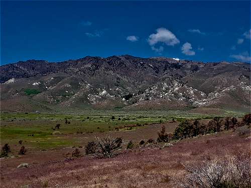 South Monitor Pass Peak and ridge from the east
Route Information
From the parking area, take a dirt road as it descends into the forest and winds around to the south. You can see the summit in the distance in the beginning of the hike before you enter the forest. The road curves to the left and then descends back into a meadow. Again, the summit is clear in the distance.
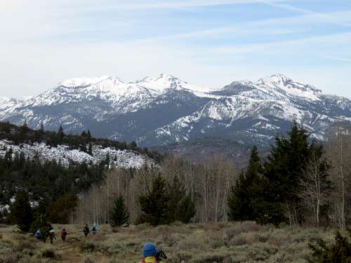 View from the first hill towards Ebbetts Pass
As you leave the meadow, take a road that curves to the right. This is an important turn-off point. It is about 1.3 miles from the parking area. This road quickly heads back to the south and enters the forest. It briefly exits the forest, but then goes back in for about a half mile. There are some confusing spots, but markers on the trees help guide the way. Eventually the road starts to climb steeply and leaves the forest. At this point you will head up into a meadow and reach a lake. The lake was almost completely dry when we were there on April 11, 2015. A road continues along the right side of the lake and then heads to the left of South Monitor Pass Peak. Choose your route up to the summit. The summit is marked with a large cairn.
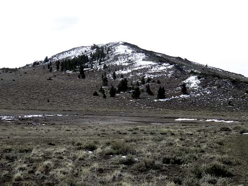 At the lake looking up at South Monitor Pass Peak
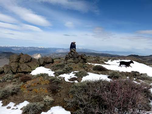 The summit marker
From the parking area next to Highway 89, it is about five kilometers (3.1 miles) to the summit. Due to ups and downs, the elevation gain is about 960’.
If starting at Heenan Lake, hike around the west side of the lake (right side) and then head up the ridge on the south slope which is devoid of trees. Stay to the right of the trees, and eventually, you should reach a road. The road which heads generally east and south up to the lake below the summit. This route is about 4 miles to the summit, gaining approximately 1,900 feet.