
|
|
Mountain/Rock |
|---|---|
|
|
47.35194°N / 121.40541°W |
|
|
Kittitas |
|
|
Hiking, Mountaineering, Skiing |
|
|
Spring, Summer, Fall, Winter |
|
|
4988 ft / 1520 m |
|
|
Overview
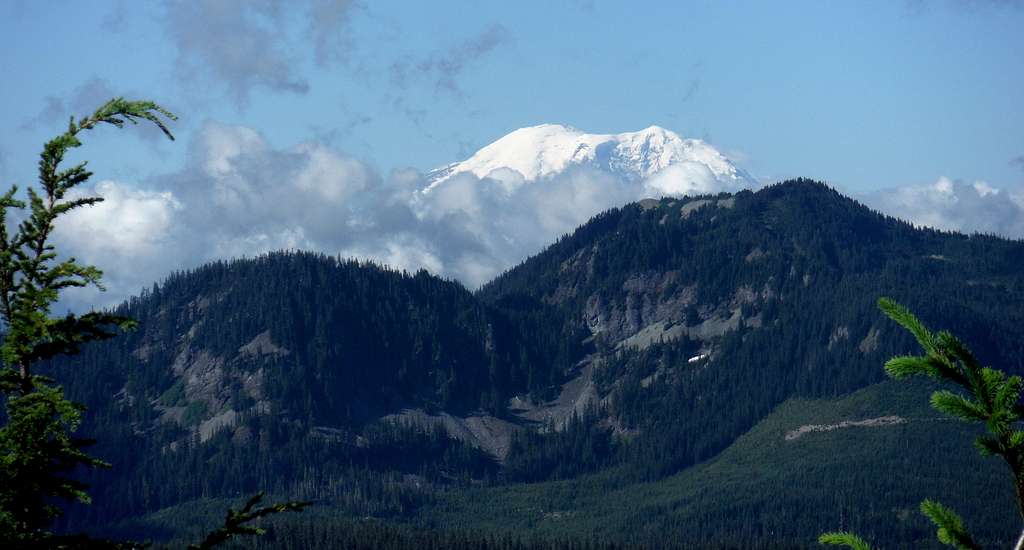
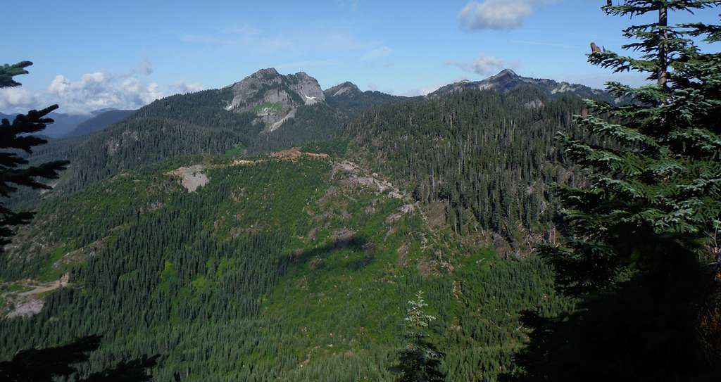
Rainier and Meadow Mountain. No shortage of great views on Roaring Ridge.
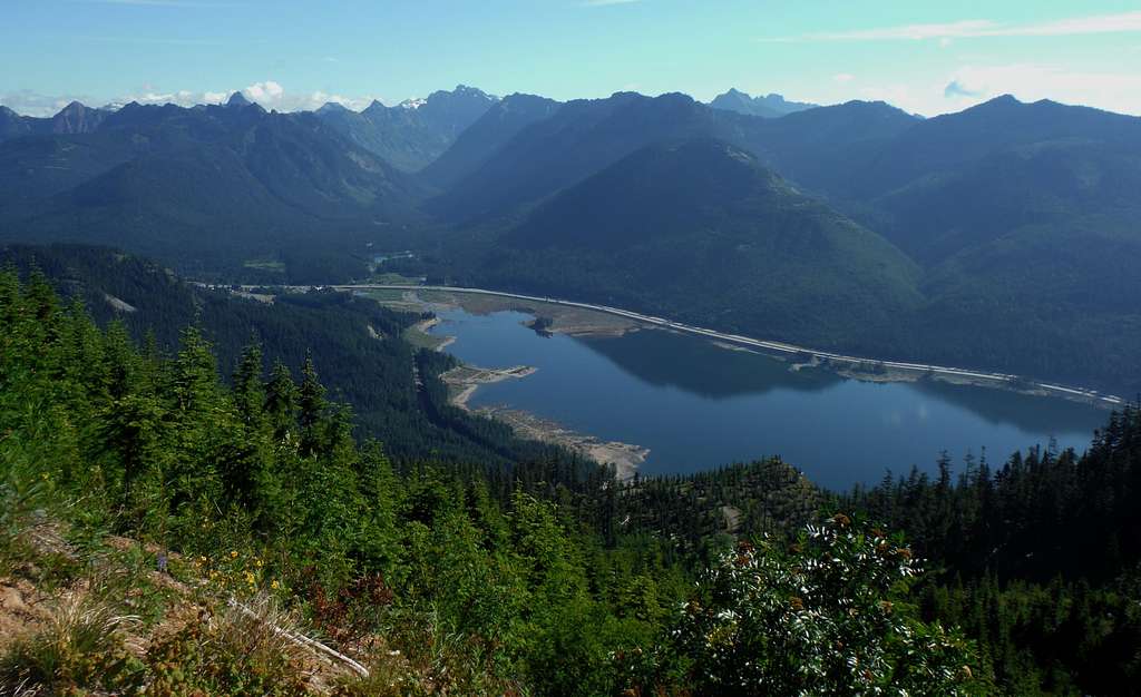
Looking at Lake Keechelus
Getting There
From I-90. Get off on Exit 62 and go west to Stampede Pass. After one mile turn right onto 5480, which will have a sign to Lost Lake. Just before Lost Lake make a right onto an unsigned road. If you have a passenger car park here or if you have a Jeep or similar vehicle drive 3.5 miles to the end or near the end. The last 500 feet are rough but there is a pull out beforehand.Route
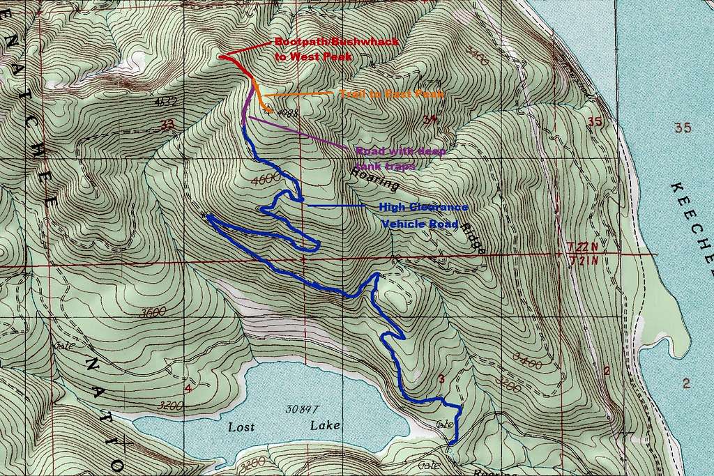
Map of the Route
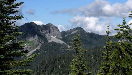
West Peak Views
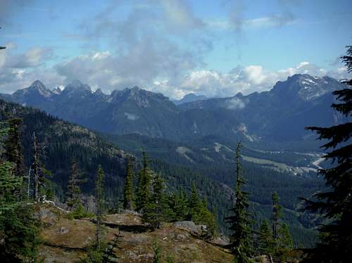 Snoqualmie Area from the west summit | 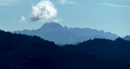 Mount Stuart from the west summit |
East Peak Views
 Tinkham and Abiel peaks from the east peak | 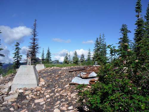 Lookout remants on the east peak |
If you drive the road to the top you are looking at roughly 300 feet of elevation gain and under a half mile in order to reach both summits. If you did this then you should also plan on visiting both Loser Ridge and Meadow Mountain. However if you walked the entire road you then 7 miles roundtrip to your hike and roughly 2000 feet of total elevation gain.
Red Tape
There is no red tape on Roaring Ridge.
When to Climb
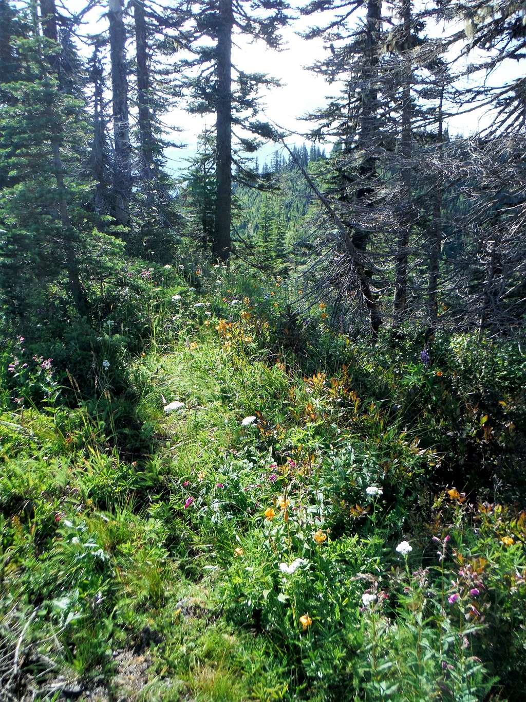
Flowers on the west summit
Summertime views of Tinkham, Abiel and Silver Peak