
-
 16850 Hits
-
 82.33% Score
-
 17 Votes
|
|
Mountain/Rock |
|---|---|
|
|
40.49550°N / 76.6342°W |
|
|
1641 ft / 500 m |
|
|
Overview
Stony Mountain is another member of the ridge and valley province of Pennsylvania. Once again, this makes for some great hiking in Central Pennsylvania. Located only about 15 miles north of Harrisburg, it is easily accessible to the public and is also popular due to its proximity of Fort Indiantown Gap which is directly south. Of course, you cannot go onto Indiantown Gap property as it is an active military base, but Stony Mountain can give you some great views when the A-10 Warthogs fly over and drop silly-bombs. It is kind of scary at first until you realize where you are, but it can give one a great sense of pride at seeing just how powerful our military can be.
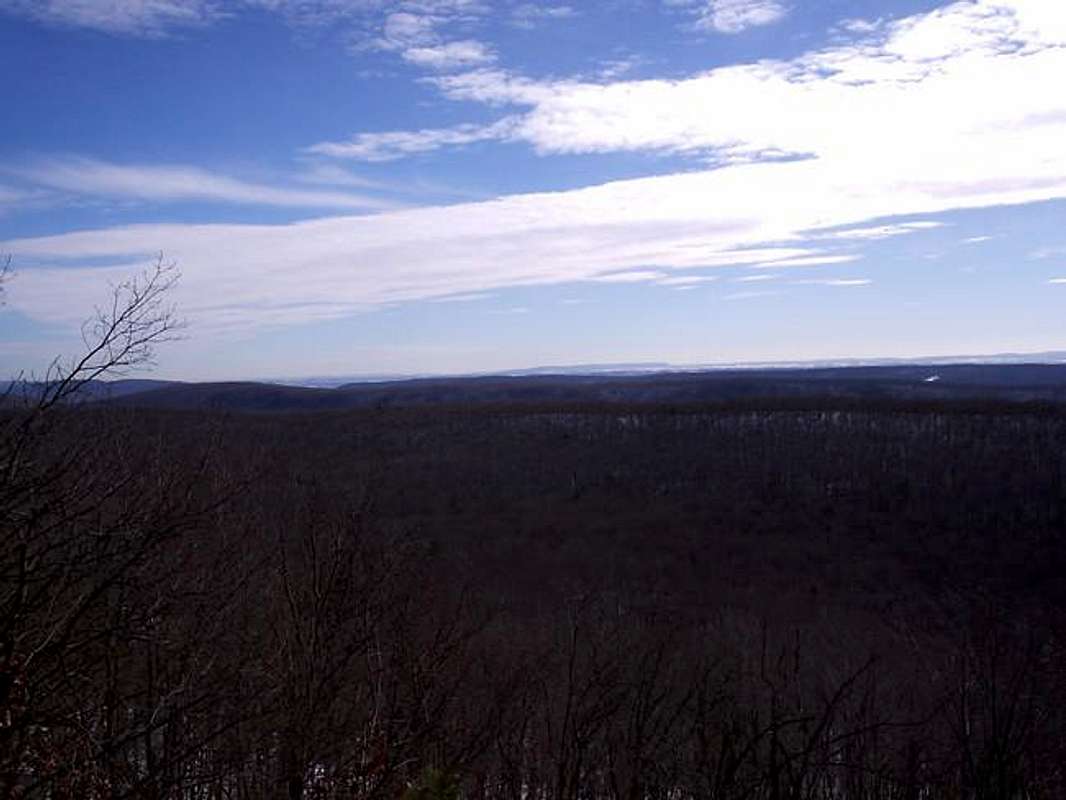
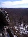
Not only is Stony Mountain famous for its military proximity, but also for its many miles of trails that offer open vistas to the north and south allowing views of the surrounding ridges and valleys. One of the more popular vistas on this mountain is at the south end of the Sand Spring Trail. It gives views into Fort Indiantown Gap, towards Harrisburg, and on the horizon you can see Three Mile Island. The climb doesn't gain a huge amount of elevation, but when it does, its quite steep gaining most of the 900 feet at one good clip.
Geologically speaking, Stony Mountain is very similar to the surrounding mountains in the area, glacially carved out thousands of years ago. This is what has created the concordinate summits of PA's ridge and valley province.
Getting There
From Harrisburg, PA:
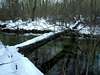
From Harrisburg take PA Rt. 22/322 west towards Dauphin. At Dauphin take the exit for Rt. 147 towards Halifax. Continue on 147 north through Dauphin until you reach the junciton with PA Rt. 325 after crossing Clarks Creek. Head east from here on 325 and go all the way to the east end of Dehart Dam which you'll be able to see from the road. On your right will be a pulloff a little ways after the lake that has two blue blazes. This is the trailhead.
Red Tape
There are no permits or passes required for recreational use of the area. For conservation purposes, just be respectful of your surroundings. Basically this means follow the “LEAVE NO TRACE” program and you will be fine.
 |  |  |  |  |
When To Climb
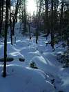
This mountain is climbable during any time of the year. Winter is a good time, especially when there is snow because it makes for a little more scenery as well as better, softer footing.
Fall is good as well when the leaves are turing in mid-October. At this time though you'll need to be aware of hunters and wear bright colors. They should stay away from those main trails, but be bright just in case.
Summer and spring are great as well though.
 |  |  |
Camping
There is no camping around the Dehart Dam area as it is a watersource for the city of Harrisburg.
Mountain Conditions
For current and up-to-date weather conditions, click on the link below!
weather.com