-
 28086 Hits
-
 84.27% Score
-
 18 Votes
|
|
Mountain/Rock |
|---|---|
|
|
46.16911°N / 114.28477°W |
|
|
Ravalli |
|
|
Hiking, Scrambling |
|
|
Spring, Summer, Fall, Winter |
|
|
9119 ft / 2779 m |
|
|
Overview
Latitude & Longitude – 46.16911 N / 114.28477 W
Elevation – 9,119'
Route Types – Scramble
Class Level – Class 1 or 3
Length of Time Required to Complete the Routes – One Day
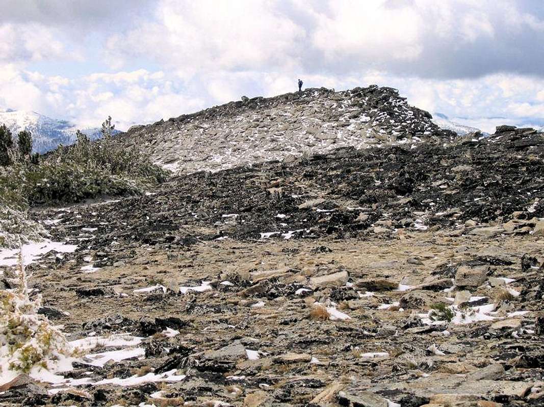
Ward Mountain is named for George Ward who owned land at its base. He was one of the early miners on Hughes Creek. The name was applied before 1898. There was a lookout tower near the summit for many years; now nothing but pieces and parts remain.
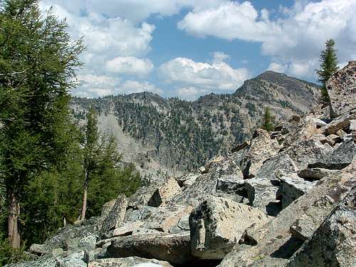
Ward Mountain, a true behemoth, sits southwest of Hamilton, MT, between Roaring Lion Drainage to the north and Lost Horse Drainage to the south. So massive is this mountain, it has its own drainage (Camas Creek Drainage) issuing from a series of lakes high in a cirque just south of the summit.
Laying just outside the Wilderness Boundary, Ward Mountain is a possible and "allowable" destination for mountain bikers, at least those tough enough. According to those "in the know," beginning at the standard trailhead, the first three miles of trail are doable on a bike requiring no "technical" stuff. After that, you better be tough and really know how to ride unless you want to get off and push your bike.
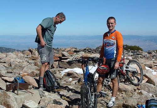
Even for hikers, the standard trail is a tough one, gaining approximately 5,100' elevation in just over six miles. On hot sunny days the climb can be excruciating as the sun beats down unrelentingly. Fortunately there is water (a small stream) available close to the summit for those unable to carry a sufficient amount for both the ascent and descent.
Even though mountain bikes are allowed on the trail, the effort required to reach the summit limits the number of bikers to a very few. On summer weekends you may see a bike or two, but usually on only the lowest mile or so of the trail.
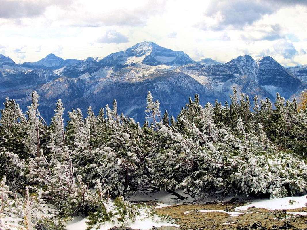
Ward Mountain's View of a Magnificent Neighborhood!
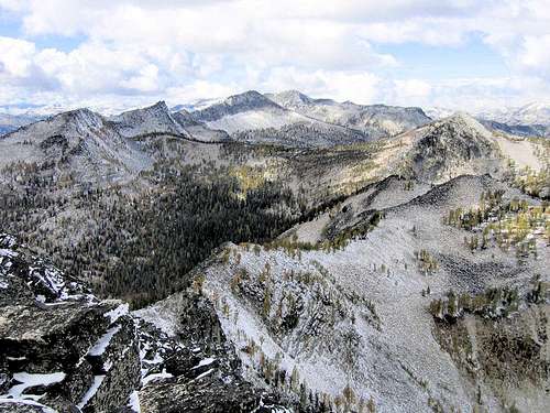
Ward Mountain is a relatively unassuming Bitterroot Peak, but does have a few (really) nice (and important) things going for it. First, it is an easy climb from the standard trailhead — easy, in that the entire ascent is via a good trail. It is also an excellent early season "conditioning" mountain because not only does the trail maintain a steady elevation gain throughout the entire trek (5,100 feet elevation gain; just over 6 miles), but the route for the most part ascends the east and southeast-facing slopes, thus melting out somewhat earlier than other parts of the mountain.
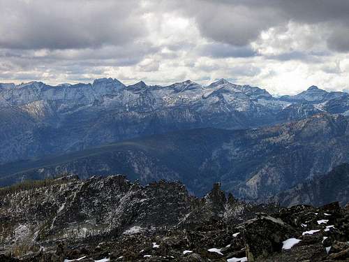
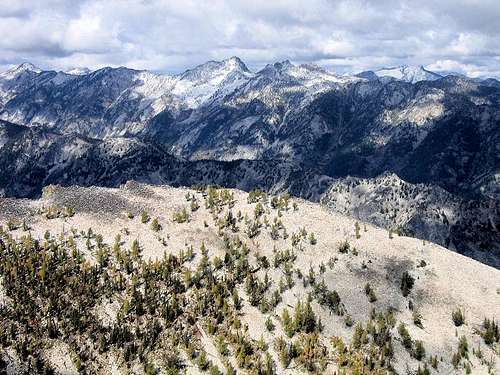
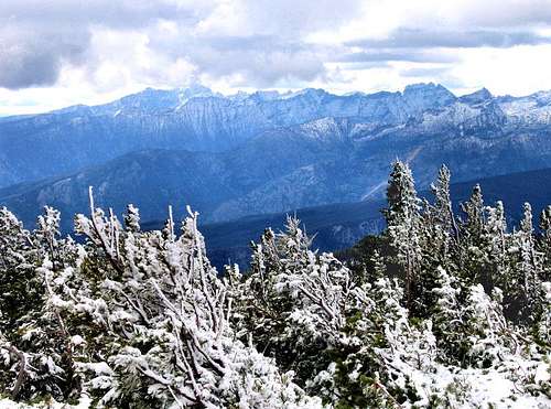
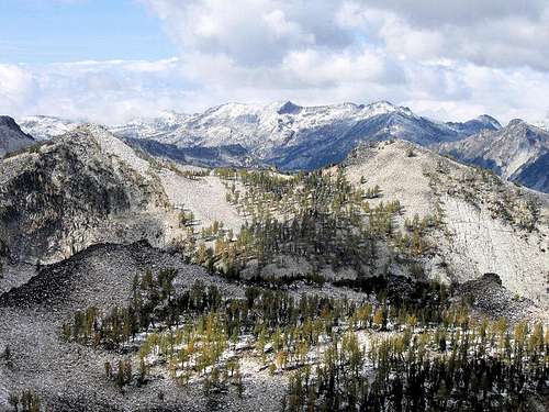
The really big deal, however, the reason to go back to this peak over and over, is—to put it simply—due to what you see on top. The view is one of those panoramic vistas getting in your head, and staying there. The Bitterroots are quite the mountain subrange, and from Ward Mountain are on display in goose-bump array, marching off into the distance in granitic, craggy, splendor!
Light does wonderful things on these peaks of granite, and it rather makes one glad to have the capacity for feeling what you see. Stupendous, I say, stupendous! But enough of that. Look at the photos. Then go climb the mountain!
The Burn
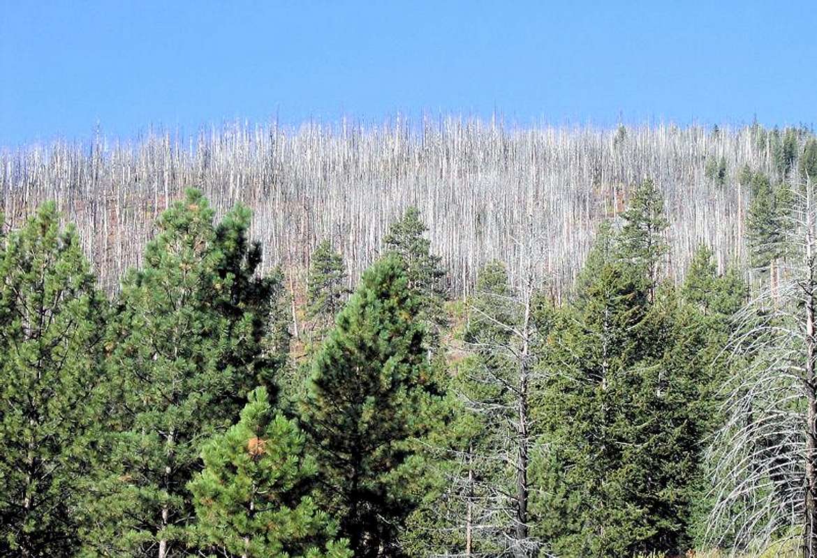
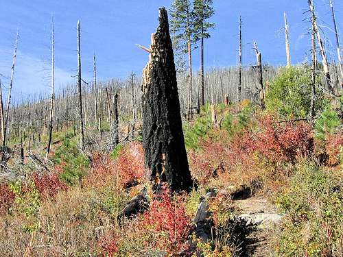
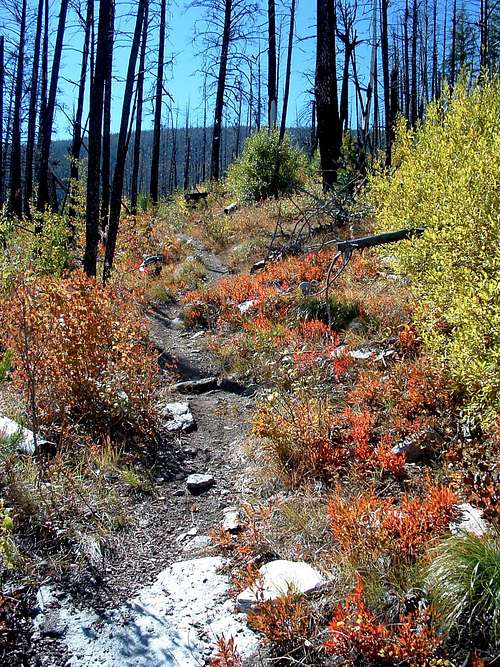
One unusual aspect of climbing Ward Mountain by the normal trail is that for approximately two miles the route makes its way through an old burn.
I was fortunate enough to climb the mountain with Moni Spicker, who has a degree in forestry, and thus was able to answer questions about reforestation, and how an area such as this reacts to wildfire.
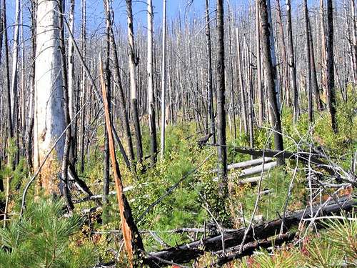
Through an examination of vegetation size and type, as well as from counting growth branches on young trees, we were able to determine the fire most likely occurred 17 or 18 years ago. (I do not know the official burn acreage; it's not small — my guess, and that's all it is, is a burn of around 10,000 acres, at most — but is certainly nothing like the region's titanic half-million acre complexes of 2000.)
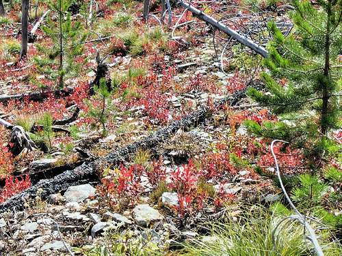
This fire was not of the type so hot as to actually sterilize the soil—a circumstance greatly retarding regeneration, as well as substantially increasing the likelihood of erosion — so what you see in these photos is an area going through the relatively normal process of reacting to a fire that in the very process of destroying both healthy forest and deadfall, in all probability triggered much of the initial regrowth activity in the burn area. The fire was on the east and southeast-facing slopes, so the recovery area gets a great deal of sun, and is relatively hot and dry during the peak summer season.
Hiking and climbing through this area means a couple things during the ascent. First, there is (as of yet) no shade in the burn, so on warm summer days an early start greatly reduces the amount of climbing in direct, strong sunlight. (The trail, as mentioned elsewhere on this page, gains about 5,100 feet in just over six miles — the climb has relatively little in the way of anything approaching "level" — and just by chance the steepest section coincides almost exactly with the area traversing the burn!)
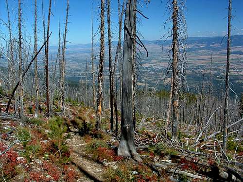
But by way of compensation, rather than walking through a forest, with the resultant visual restrictions, the view during this part of the climb is wonderfully open to the beautiful Bitterroot Valley, the Sapphire Mountains across the way, and the more distant ranges, such as the Anaconda and Pioneer Mountains. But do get an early start, or you may well enjoy the view through an unpleasantly hot sun!
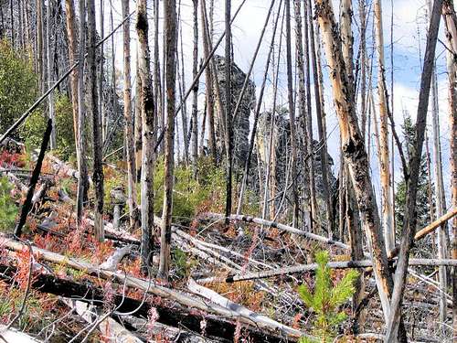
At any rate, since fire is such a pervasive part of life in the Intermountain West, I thought it might be of interest to show a Northern Rockies forest in a natural state of recovery. It doesn't really have anything to do with what one normally thinks of as "climbing," but is certainly part of the natural environment, the enjoyment of which — after all — is one of the reasons we climb in the first place. Enjoy the photos.
Getting There
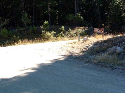
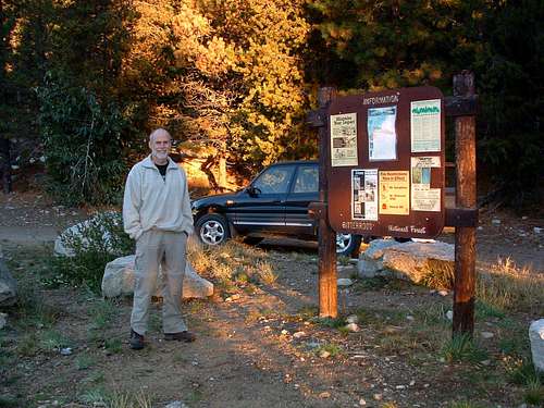
Ward Mountain Trailhead - The Standard East Face Route
From Golf Course Road (the last stoplight)on the south side Hamilton, MT, drive south on Hwy 93 about 3.4 miles. Turn right (west) onto Roaring Lion Road (531).
Drive 2.5 miles to the intersection with FR 1134. The Ward Mountain trailhead is marked with a small sign on the south side of the road.
Parking is limited and there are no restroom facilities.
Camas Lakes Trailhead - West Ridge Route
Text directions to the standard trailhead
Drive south from Hamilton, MT for a little over 9 miles.
Turn right (west) onto Lost Horse Creek Road.
Drive 2.4 miles to a posted junction with FR 496.
Take the right fork (northwest) onto the gravel road and drive for 6.1 mile to the well marked pull-off for the trailhead.
There is ample parking for several vehicles but no restroom facilities.
Area Restrictions (Red tape)
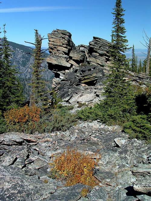
Ward Mountain is in the Bitterroot National Forest and not an "official" Wilderness Area; therefore even motorized vehicles are allowed on the exiting trails (not off-road or off-trail). The rule is that "vehicles must fit on existing tread." This means no 4-wheelers, which can't fit on the trail, but does allow for motorcycles which can.
A side note: I've never seen a motorcycle on the trail, only one's tracks during late spring. But, I have knowledge of one person who does ride on Ward Mountain's standard route.
This particular rider patrols the trail several times a year with his chain saw strapped to the back of his bike. Since the Forest Service has few resources to devote to trail maintenance, this man takes care of the trail out of the goodness in his heart. He cuts deadfall from the route which is especially helpful in the recent burn areas where dead trees continually fall. This route is enough of a grunt in perfect condition. I for one, am grateful I don't have to climb over deadfall, too.
I should also mention that, though motorcycles are allowed on the standard trail, I can see no damage they have caused.
Camping
Camping is allowed in the area of Ward Mountain. Especially along the standard route, there are many places which look good for camping; however the availability of water is limited.
Routes
The Standard (East Face) Route


