|
|
Mountain/Rock |
|---|---|
|
|
47.29181°N / 121.15639°W |
|
|
Kittitas |
|
|
Hiking, Mountaineering |
|
|
Spring, Summer, Fall |
|
|
5269 ft / 1606 m |
|
|
Overview

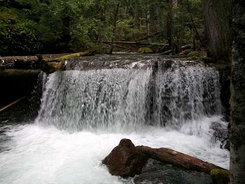
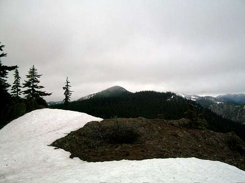
Thomas Mountain, located between Lake Kachess and Lake Cle Elum is a prominent mountain in the region. It has the highest point on the southern part of ridge line and has excellent views of the Teanaway Region, Mount Stewart, and the Enchantment. Thomas Mountain is an intermediate mountain in that it doesn't contain any glaciers or much in the way of true alpine character but with 3000 feet of elevation gain it is a respectable mountain to attain and often makes a great mountain to go to when other larger mountains in the region are impacted in by weather or avalanche conditions.

As stated earlier the views on this mountain are well worthwhile for the effort put into the mountains. The summit panorama has great eastern views of the Teanaway Region. There are also plenty of good views along the way to Thomas Mountain which will keep you occupied. Thomas Mountain is only moderately hiked despite the trailhead only being 3 miles from I-90. It is actually a little over an hour in good traffic from downtown Seattle to get to the trailhead. This offers most hikers some sense of solitude that many of the more western Cascades do not offer.
Thomas Mountain can be reach by trail therefore the terrain is pretty much Class 1 all the way to the summit. That being said the Easton Ridge Trailhead #1212 trail up to the first intersection switchbacks up the northern part of Easton Ridge with a steep 1100' elevation gain in roughly 0.8 miles. It is followed by Domerie Divide Trail #1308.2 has 1350' elevation gain in 1.4 miles in which most of the elevation gain in the last 0.8 miles. From there make a left onto #1308.2 and roughly 1.25 from Para Point to the summit.