
|
|
Mountain/Rock |
|---|---|
|
|
40.39320°N / 112.591°W |
|
|
Hiking, Scrambling, Skiing |
|
|
Spring, Summer, Fall, Winter |
|
|
10330 ft / 3149 m |
|
|
Overview
[Note: August 2020. I adopted this page after it was orphaned by the original author. I have made no substantive changes to it - utahjimk]
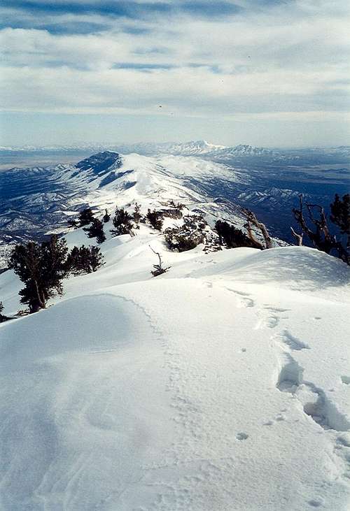
Vickory Mountain is at the south end of the Stansbury Range of Utah, rising between the vast Skull and Rush Valleys. Vickory rises abruptly but has very long and gentle north and south trending ridgelines. Few people venture out to climb it.
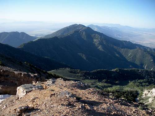 Vickory Mountain
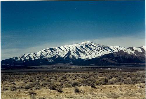 Vickory Mountain
Getting There
Take Hwy 73 east out of Lehi or Hwy 36 south out of Tooele. Follow Hwy 199 west through Rush Valley up to Johnson Pass. Park wherever; the ridge could be accessed from any point near the pass.
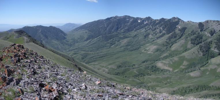  |
When to Climb
Any time. Because the paved road over Johnson Pass is plowed and melts out well, the access for Vickory Peak in the winter is possible. The snowshoeing up the south ridge is amazing. Summer scrambles could be done from Hickman Pass trails but I do not know the brush on that route.
View South

Ridge up Vickory Mountain
Vickory South Ridge
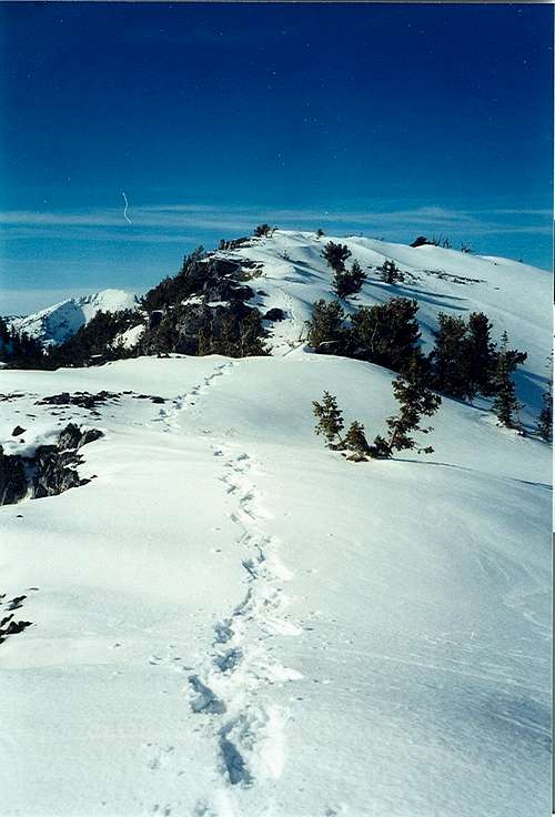
Vickory South Ridge
 Tree on ridge
Red Tape
No fees here on National Forest and BLM lands.
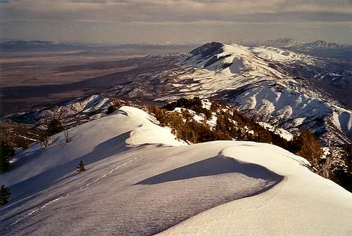
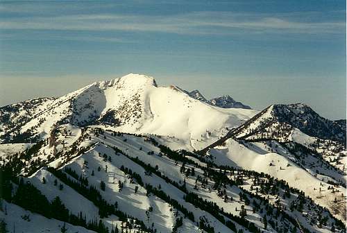 Deseret Peak from Vickory Mountain
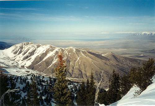
Bald Mountain

Oquirrh Mountains
Clover Spring BLM campground can be found off Highway 199 between Rush Valley and Johnson Pass. There are also some small dirt side roads off the Johnson Pass area that have some hidden camps within the Juniper trees.
External Links