Overview
![Punta Cupetti photo_id=93776]()
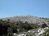
The Monte Albo mountain range in Sardinia / Sardegna is one of the most spectacular regions of the island. It stretches for a little more than 20km between the towns of Lula and Siniscola. The overall direction of the chain is WSW to ENE. Monte Albo is composed of white limestone, which is responsible for the name (Pale or White Mountain). Though closely related to
Supramonte to the south (see next section), the Monte Albo rock is far more eroded so that climbing locations can only be found in isolated spots. I have seen a couple of (newly) bolted routes near the saddle Janna Nurai in the southwest of the group.
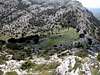
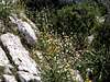
Monte Albo defines itself by the impressive north faces which drop some 400m into the high plain between Lula and Passo Santa Anna. There are only three possible ascent routes onto the mountain range, all of which follow deep cuts in the north faces. The top od Monte Albo is a high plateau and it is here that the resemblances to Supramonte are strongest. Though the plain from afar looks like a flat plateau, it is crisscrossed by ravines and gullies which don't appear at the first glance. There are no trails on the plateaus and the hiker has to use his/her own best judgement to reach the destination. I have found it most convenient to hike as close as possible to the north face drops, cince there the underground can be seen and there are no trees and bushes which impede your progress.
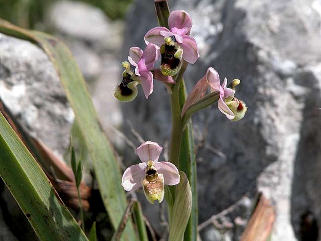
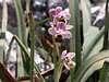
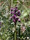
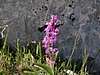
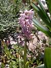
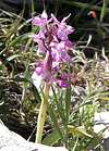
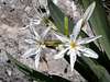
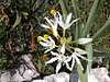
Speaking of plants, I must say that in May, when we did our hikes on Monte Albo, the beauties of the mountain itself pale beside the multitude of flowers, which grow and blossom up there. Out of every nook grow Cyclamen and St. Pankratius Lillies and Asphodel is abundant. There are several beautiful meadows on the high plateau and on each of these you can find a great number of different orchids. Those of you who have glanced at the single summit pages will have seen the colourful variety which you encounter.
The whole mountain range is very lonesome - though you are really close to tthe tourist centers along the eastern coast of Sardinia. In our several hikes along the mountain we encountered 5 other people in three days! Therefore - with a little patience - you will be able to see some of the elusive birds of prey of Sardinia - bearded vultures and golden eagles. Not to forget large ravens.
Monte Albo' s location is quite isolated so that you can see the other Sardinian mountain regions perfectly. All you need is a clear day and between
Gennargentu in the south and
Monte Limbara in the north, everything lies at your feet.
![]() Interactive overview map of the Monte Albo mountain range. The summits which have been posted to SP are marked in red.
Interactive overview map of the Monte Albo mountain range. The summits which have been posted to SP are marked in red.
Supramonte, Monte Albo, Isola Tavolara
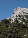
![Monte Albo photo_id=102963]()
To the south of the Monte Albo Range you can find the impressive
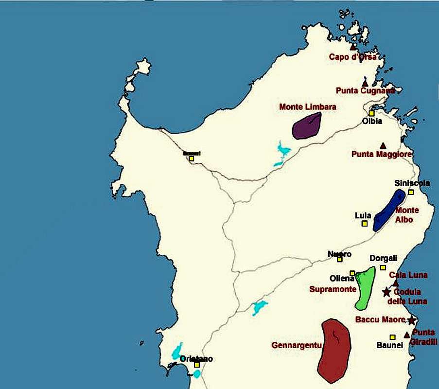
Supramonte Massif, Sardinia’s second highest mountain range. Both ranges are closely related - in fact were part of a single mountain region in the tertiary age. Due to tectonic shifts of the earth's crust they drifted away from each other by about 40km. Even further to the north east there is Isola Tavolara, which also shows the same kind of limestone rock formations with vertical walls. Since it rises vertically directly out of the sea Isola Tavolara is one of the most impressive rock formations of Sardinia. For all visitors which toch down on the island at Oblia (air- or seaport) it is the first mountain they see.
For the respective locations of the three ranges look at the map in the "Getting There" section. Isola Tavolara is the long stretched island east of Olbia.
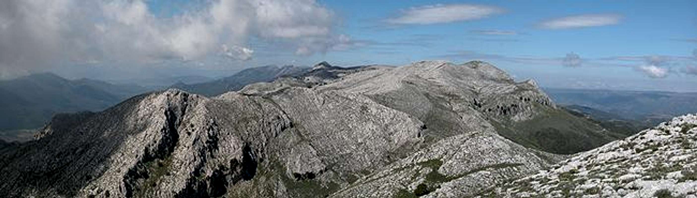
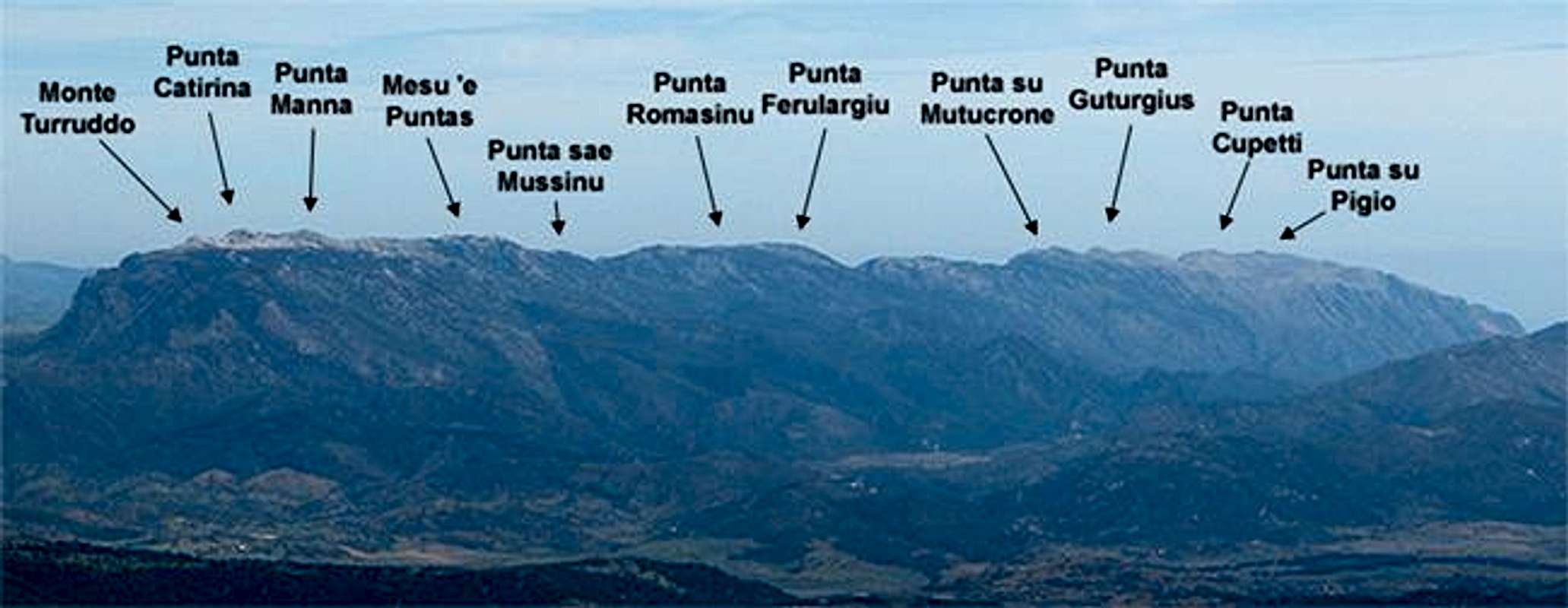
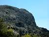
Punta su Pigio
Punta su Pigio is part of Punta Cupetti. It is the easternmost outpost of Monte Albo and shows an impressive east face. See the
Punta Cupetti Page for more details.
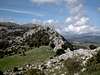
Punta Cupetti
Standing isolated from the rest of Monte Albo in its north east, Punta Cupetti is made up of some 15 different summits. You can do a nice tour of all of them in 2h. See the
Punta Cupetti Page for more details.
Punta Ferulargiu
Punta Ferulargiu is located roughly at the centre of the Monte Albo north face. It is a long hike from either of the trailheads. But the loneliness and great views along the north ridge are worth it. See the
Punta Ferulargiu Page for more details.
Punta Romasinu
Punta Romasinu is located some several hundred meters southwest of Punta Ferulargiu and is separated from it by a deep and impressive ravine. Very similar in character to Punta Ferulargiu. See the
Punta Romasinu Page for more details.
Punta sae Mussinu
Punta sae Mussinu towers above the meadow of sas Puntas, near where the ascent trail (Sentiero Italia) meets the Monte Albo high plateau. Huge drops towards the high plain but obstructed views. See the
Punta sae Mussinu Page for more details.
Mesu 'e Puntas
The only peak without a page on SP so far. Even GH is not able to climb everything ;-)). In fact it is a twin peak, two summits which are connected by a plateau rather than a ridge. The mountain is unspectacular and (presumably) easy to ascend. It is Monte Albos third highest summit after Punta Catirina and Monte Turuddo.
Punta Catirina
Punta Catirina is Monte Albo's highest summit - together with Monte Turuddo. It forms the western end of the chain. Therefore it offers great views along the whole chain. See the
Punta Catirina Page for more details.
Monte Turuddo
Similar to Punta Cupetti on the other side of the Monte Albo Chain, Monte Turuddo stands solitary, separated by a deep saddle from the rest of the group. VERY lonesome since none of the guidebooks will lead you there. See the
Monte Turuddo Page for more details.
Orchids!
![Monte Albo photo_id=102981]()
There is no such place for orchids as Monte Albo! Ever since my late dad (a biology professor) took me on an orchid hunting trip in the vicinity of his university as an adolescent - I have been fascinated by these beautiful flowers. I have never had the chance to see so many different varieties as on this mountain.
Sea of Flowers
As said in the overview section, Monte Albo is a place for flower lovers. I said it somewhere before: if you didn't love them before you're bound to do so after you visited Monte Albo. There are endless numbers of Cyclamen and St. Pankratius Lillies as well as Asphodel wherever you look. Where bushes can grow you will find lots of Rosemary and Lavender. And every crack in the rock is covered with Maguerites and Dandelions.
Getting There
Sardinia can be reached either by plane or by ferry. The main ports are Porto Torres and Olbia in the north and Arbatax and Cagliari in the south. Airports are at Alghero and Olbia in the north as well as (again) Arbatax and Cagliari in the south. For exploring the northeastern part of the island where most of the mountains are the best entry point is Olbia, which is where most flights go anyway.
Approaching the mountain from Olbia airport
For the exploration of Monte Albo there are three possible trailheads. They are located in the few places where the vertical north face is interrupted by a larger couloir. Crossing Monte Albo from north to south is a matter of three hours but hiking the complete length will take you ap to two days - or a looong day if you never stop walking.
- North Eastern Trailhead (Punta su Pigio, Punta Cupetti)
From Olbia take motorway SS131 to the northern exit at Siniscola. Drive into the center of the town and take the road to Lodè, which heads for Passo Santa Anna. 5km after the town of Siniscola there is a parking place (unmarked) at a right curve. This serves as the trailhead for Punta Cupetti.
- Northern Trailhead (Punta Cupetti, Punta Guturgius, Punta su Matucrone)
From Olbia take motorway SS131 to the northern exit at Siniscola. Drive into the center of the town and take the road to Lodè, which heads for Passo Santa Anna. At the pass turn left onto SP3 in the direction of Lula. After some 8km you will reach a saddle between Punta Cupetti and Punta Guturgius which has been formed by Riu Siccu, which springs here. Look for a parking place along the road.
- North Western Trailhead (Punta Ferulargiu, Punta Romasinu, Punta sae Mussinu, Punta Catirina, Monte Turuddo)
Get on motorway SS 131 south in the direction of Siniscola / Nuoro. At the exit Lula / Dorgali get off and turn on SP38 north (again direction Lula). Here turn to SP3 east (direction Passo Santa Anna). 6km after the town on the right hand side first a dirt road (route to Monte Turuddo), a little later a marked trail (Sentiero Italia) turn off. Park the car at either of the trailheads, wherever you find room enough, they are only 500m apart. Monte Turuddo and Punta Catirina are reached via the dirt road (to Janna Nurai), the other summits (also Punta Catirina via the su Campu 'e Sussu route) can be reached using Sentiero Italia.
![]()

 22025 Hits
 83.1% Score
 16 Votes