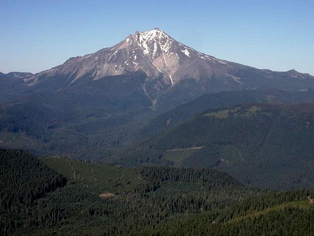
This shot shows the context of the view of
Mt. Jefferson from the summit of Bachelor. The Santiam Pass highway (Oregon SR22) is at the bottom of the valley below. The broad valley leading up to the mountain is the ever popular Pamelia Creek, which leads to Pamelia Lake. The deep ravine leading directly down from the summit is Milk Creek, which joins with Pamelia Creek not far from the TH. The timbered ridge leading toward the peak on the left is Woodpecker Ridge. There is a trail up that ridge which leads to the Pacific Crest Trail, and doesn't require a permit, like the Pamelia trail does. Bachelor Mountain provides undoubtedly the best view of the west side of Jefferson, and it is spectacular! July 24, 2005.


