Toggle navigation
Mountains
Routes
Images
Trip Reports
Forum
What's New
People
Areas & Ranges
Articles
Trailheads
Canyons
Huts & Campgrounds
Albums
Logistical Centers
Fact Sheets
Lists
Custom Objects
Gear
Plans & Partners
WELCOME TO SUMMITPOST
SIGN IN
REGISTER
Mount Ouray
Additional Parents
Image
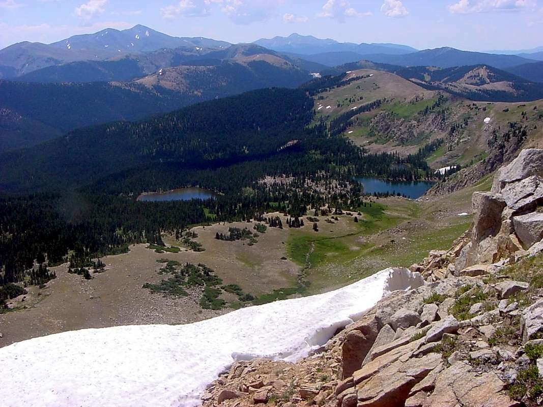
Mt. Ouray and Antora Peak from CDT
View High-Resolution Image
Mt. Ouray and Antora Peak from CDT
Mt. Ouray (left), Antora Peak (right) and Monarch Pass (below and just right of Antora Peak) form the backdrop of the Waterdog Lakes from the Continental Divide Trail just south of Bald Mountain. Taken July 24, 2005.
« PREV
NEXT »
csmcgranahan
on
Jul 4, 2007 3:38 pm
Comments & voting
Other parents
Lat/Lon:
38.42300°N / 106.225°W
Image ID:
307881
2145 Hits
71.52
% Score
2
Votes
Log in to vote
Comments
No comments posted yet.
to post!
Don't have an account?
Mount Ouray
(Mountain/Rock)
« PREV
Viewing
#71 of 84
GALLERY
NEXT »
csmcgranahan's Image Gallery
« PREV
Viewing
#522 of 660
GALLERY
NEXT »
×
You need to login in order to vote!
User Name
Password
Remember me
Forgot your password?
Log me out when I close my browser.
Keep me logged in all the time.
sign in as a user
Don't have an account?
Register now for FREE
Rating available
Suggested routes for you
People who climb the same things as you
Comments Available
Create Albums
Register Here


