Toggle navigation
Mountains
Routes
Images
Trip Reports
Forum
What's New
People
Areas & Ranges
Articles
Trailheads
Canyons
Huts & Campgrounds
Albums
Logistical Centers
Fact Sheets
Lists
Custom Objects
Gear
Plans & Partners
WELCOME TO SUMMITPOST
SIGN IN
REGISTER
Mount Pinos
Additional Parents
Image
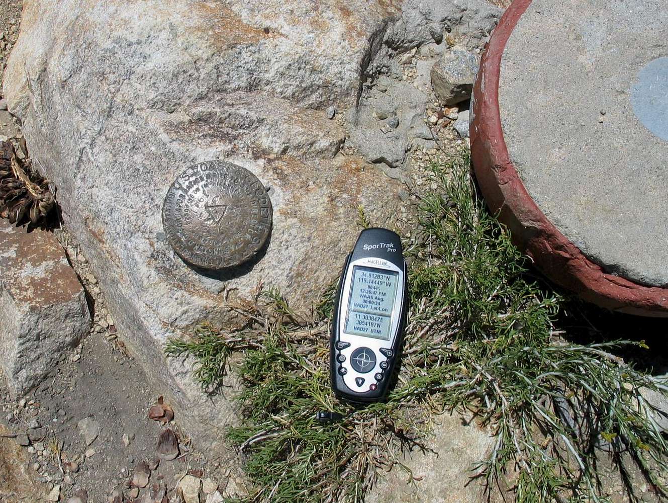
Mt. Pinos Benchmark
View High-Resolution Image
Mt. Pinos Benchmark
Pretty scratched up due to its accessibility, the Benchmark, placed in 1941 bravely holds its own on this often visited mountain top. Part of a concrete pad of some sort is just visible in this shot. It had a blue dot for some reason. 7-29-04
« PREV
NEXT »
Dean
on
Apr 15, 2007 6:34 pm
Comments & voting
Other parents
Lat/Lon:
34.81280°N / 119.1444°W
Image ID:
285445
5132 Hits
74.01
% Score
4
Votes
Log in to vote
Comments
No comments posted yet.
to post!
Don't have an account?
Mount Pinos
(Mountain/Rock)
« PREV
Viewing
#14 of 44
GALLERY
NEXT »
Dean's Image Gallery
« PREV
Viewing
#5282 of 7927
GALLERY
NEXT »
USGS Benchmarks
(Album)
Loading....
Survey Markers of Southern California
(Album)
Loading....
×
You need to login in order to vote!
User Name
Password
Remember me
Forgot your password?
Log me out when I close my browser.
Keep me logged in all the time.
sign in as a user
Don't have an account?
Register now for FREE
Rating available
Suggested routes for you
People who climb the same things as you
Comments Available
Create Albums
Register Here


