

Viewing: 1-3 of 3

cluck - Jul 26, 2004 10:09 pm - Hasn't voted
trace in the route?Any chance you would be interested in dropping in a digital red line tracing the route? Maybe marking key spots (winney's slide, hell's hyway, etc)
I've read a bit about this one, but it would be cool to visualize the route in this way.

dkantola - Jul 27, 2004 1:30 am - Hasn't voted
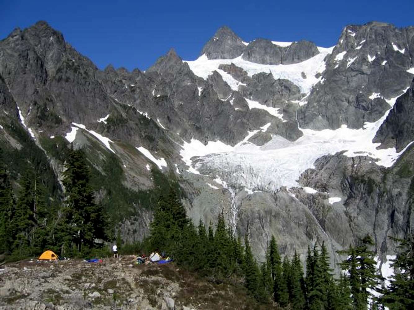
Re: trace in the route?Look here: Fisher Chimneys route photo
The line I drew in is kind of approximate since you have a side view of part of the route from Lake Ann. FYI, Winnies Slide, Fisher Chimneys, The Hourglass, and the rock cliff between the Sulphide and Upper Curtis Glaciers are shown incorrectly on the USGS topo map.
cluck - Jul 27, 2004 2:51 pm - Hasn't voted
Re: trace in the route?Thanks for this... I knew the topo maps were off which is one of the reason why I was interested in seeing your route diagram.
Viewing: 1-3 of 3


Comments
Post a Comment