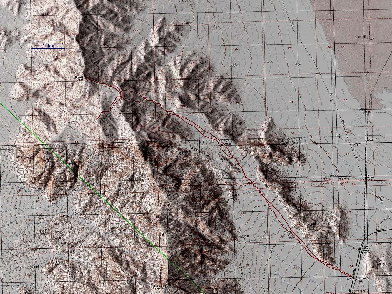
This southeast approach to Nopah is long, but requires just a 2wd passenger car for access. From Nevada route 160, take the Old Spanish Trail (signed, paved road) 17 miles and park on the right (north) side of the road, at the local height-of-land. (The turn for OST is 16-17 miles from Mountain Springs, NV.) Head NW up the bajada, eventually into a narrow wash with many small dryfalls. The bajada has some brush, but is easy walking (you can easily hit 3 mph on the return). From the wash, either of the two branches work, but the northern is easier, up the last (northernmost) ridge.
While some parts of the north ridge look impossibly cliffy from the wash, there are always walk-arounds to the N or S. To reach just the highpoint (DPS summit), it will be about 14.5 miles RT; to do both peaks, it will be about 16 miles RT.
Do not leave the wash too soon-- there are lots of cliffs on the early ridges.


