

Viewing: 1-2 of 2

Eric Sandbo - Feb 13, 2007 6:50 am - Voted 10/10
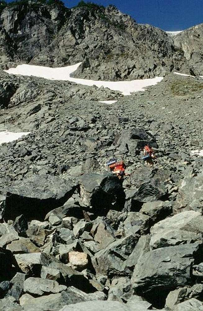
What not to do.This shot shows what the map can't -- it looks like hot, hard, dangerous work. We hiked up meadow from Yang Yang Lakes and cruised the ridge above. Thanks for showing what the alternate is like.

Bob Bolton - Feb 13, 2007 7:49 am - Hasn't voted
Re: What not to do.Yeah, we later wished we'd found a much better route. It was early in the day, so at least it wasn't hot, but it was hard and dangerous. It was also time consuming, and almost made us miss the high col before the clouds socked it in that afternoon. We had line of sight through that col and over toward White Rock Lakes before we were engulfed in the driven fog. Luckily found a decent bivy site before dropping down to the glacier. It was the second of three storms that affected our trip.
Viewing: 1-2 of 2


Comments
Post a Comment