Paying a High Price for Mount Price: A 14 hour Winter Adventure
I've had my eye on Mount Price since beginning this quest for summits. It's mostly forested Southern slopes stretch 4000' vertical feet above the Middle Fork Snoqualmie River, lending the illusion of greater prominence. While dwarfed by neighboring Big Snow Mountain, Mount Price stands on it's own when viewed from many other peaks in the Alpine Lakes Wilderness. A later start time made this peak seem like a more reasonable winter summit trip other options that were on the table. I have read reports of 4-6 hour ascent times with moderate to heavy snow cover but we found having dogs in tow added nearly 2 hours to that estimate.
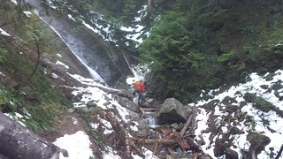
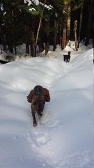
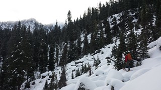
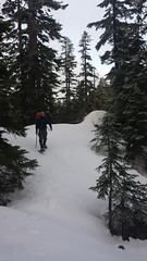
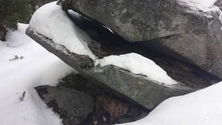
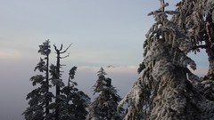
Most of the snow above 3000' was 2-4 feet of compressed base with a few inches of powder, of course with the occasional sections of icy crust and deep powder. We used microspikes for the top 2/3 of Dingford Creek Trail and snowshoes from the Dingford Creek crossing to the summit, then crampons on a quickly-firming surface during our descent. A few inches less snow would have made the crossing of 2 small fields of large talus too hazardous to cross, especially with dogs.
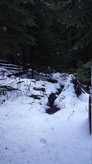


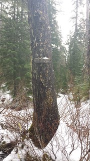
We left the Dingford Creek Trailhead at 8:30. A few other vehicles were in the lot but their drivers must have been busy on the Middle Fork, as we saw only our own tracks in the snow all day. Snow began on the trail before the rock slab waterfall, and was fairly consistent from the Hester Lake junction on. We considered an attempt at the NW route but with only an few inches of snow at Goat Creek, the longer route past the lakes was far more appealing.
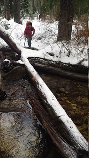
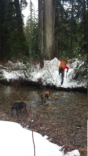
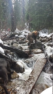
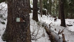
Dingford Creek was low enough to walk across near the trail, but we did use a log about 30 feet upstream on the return. Navigating the snowy route with a half dozen creek crossings took some effort but within 4 hours of leaving the truck we were standing at the shore of Hester Lake with our destination in view behind thin clouds.
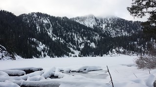
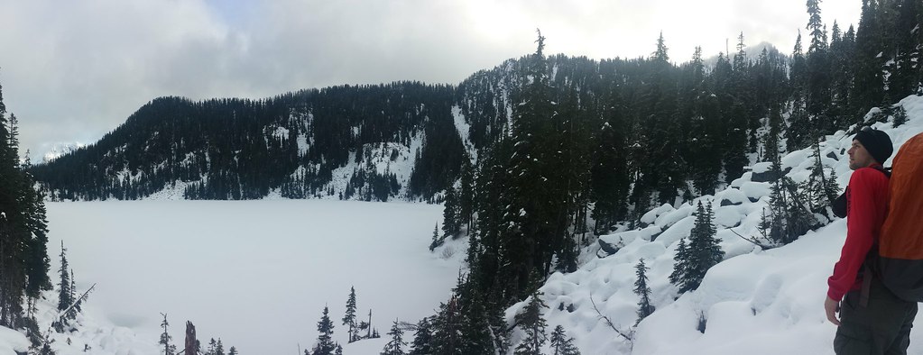
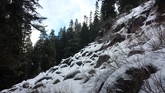
We had traveled well over 75% of the distance to the summit, but it would take just as long to navigate snow-covered talus fields and a cliffy summit ridge that separated us. Unfortunately we didn't know that as we discussed the possibility of retreat during a snack break under a particularly awesome talus overhang. The sun would begin to set within 2 hours, but with the summit in view less than a mile away and 1500' above us we both felt confident that it could be reached within an hour and family didn't expect to hear from us until 8 p.m. so up we went.
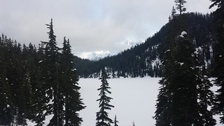
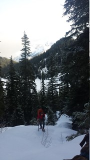
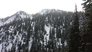
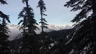
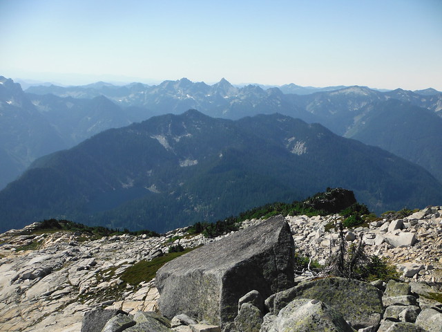
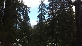
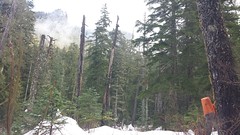
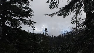
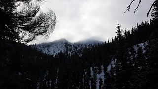
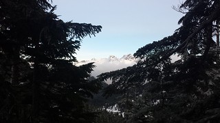
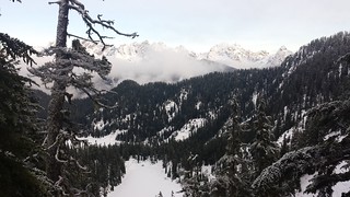
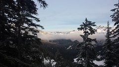
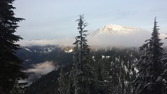
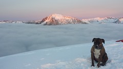
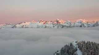
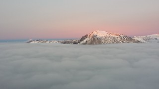
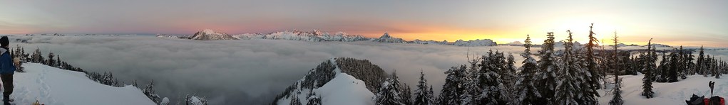
Blue sky could be seen somewhere at any given time on our ascent but slow moving clouds covered all but the occasional mountain views until we began traversing around the North side of the Hester Lakes. First, Huckleberry Mountain and Chikamin Peak began to emerge from the clouds across Hester Lake. As we gained altitude and the surrounding cloud layer lowered along with the temperature, the ridge came into view from Lemah Mountain to Summit Chief.
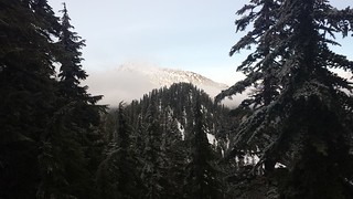
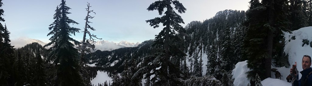
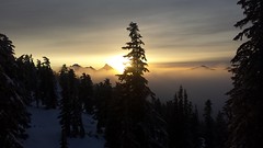
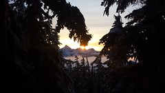
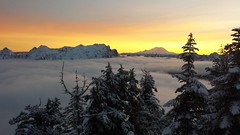
We had been chasing the sun all day but plotting a dog friendly route up the last 800' of the North Ridge slowed us down enough to prevent all but a few short moments of direct light. We finally reached the summit just over 8 hours after leaving the trailhead as the sun was preparing to set behind Chair Peak. An ocean of clouds continued to descend into the valleys around us, exposing the tops of surrounding peaks while the sunset turned blankets of snow from white to pink to blazing orange.

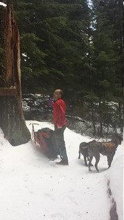
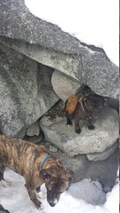
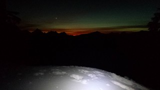
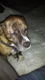
We played "name that peak" and sent out texts to prevent a premature rescue operation, then switched from snowshoes to crampons and prepared for a long descent by headlamp. One of my dogs greatly prefers climbing up steep snowy slopes to climbing down. This, and a diligent effort to remain with our ascent tracks in the darkness to prevent backtracking led to a nearly 6 hour return trip. Thoroughly exhausted, we celebrated a hard days work.


13.5 miles round trip
~4500' elevation gain
8 hours up
14 hours car-to-car (at least an hour struggling with a stubborn pit bull)
My Blog
View 2013-12-28 Mount Price in a larger map

Comments
Post a Comment