|
|
Mountain/Rock |
|---|---|
|
|
43.86080°N / 114.331°W |
|
|
10598 ft / 3230 m |
|
|
Overview
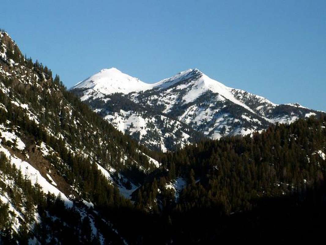
These two mountains are off the beaten path and seldomly visited, giving you a total wilderness experience when hiking them.

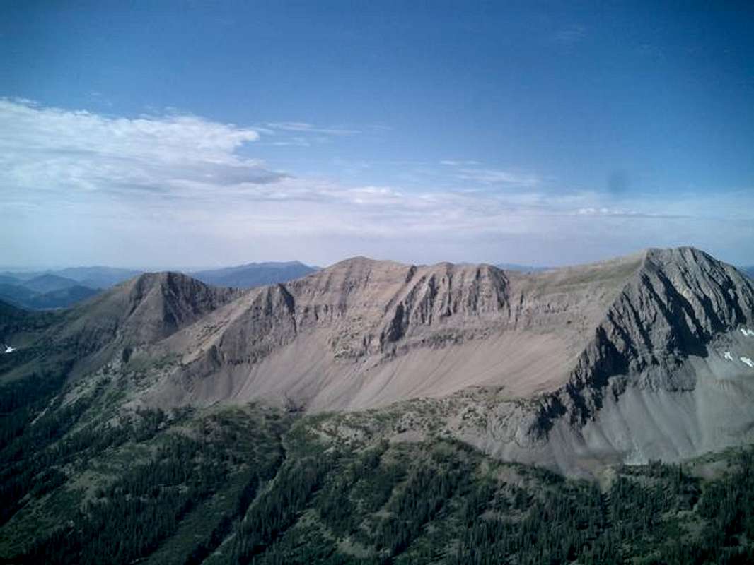
Located in the Boulder Mountains northeast of Ketchum, these twin-summited mountains stretch oddly away from the main crest of the Boulders, forming a rugged island surrounded by forest. Though not particularly attractive themselves, the approach to the mountains offer rare, stunning views of the backsides of the Lake Creek, Eagle Creek, and Murdock Creek headwalls. These mountains are often overlooked by peakbaggers due to their proximity to more desirable mountains but for a relatively mild, yet long approach, these mountains offer rewarding memories of enjoying central Idaho's beauty. The approach to Peak 10,598 contains some minimal class 3 climbing but this can be avoided (see getting there below), but the connecting ridgeline between the two summits is enjoyable and quite easy.
Getting There
There are two possible routes up these mountains. The first is longer, yet on a trail, but less intense. The second, which I created while I was up there, tests your bushwacking techniques, yet is not quite as long. To access either of these routes drive northeast of Ketchum on Trail Creek Road. Head up the fairly intimidating road (yes that is about a 1,000' vertical drop on your left), to the pass. Notice just before the road curves right into the forest, just beneath the summit, you get your first glimpse at the twin summits. Drop down into the next valley on Trail Creek road a little ways and take your first left on Park Creek road or FS-140, about .8 miles from the summit. Drive to the end of Park Creek road and park. Both routes begin on Trail Creek Loop, or FST-126. Cross Trail Creek River and continue until the loop splits, go left. For the first route, follow this trail until it reaches it's high point at saddle 10,100'. From the saddle. leave the trail and gain the northwestern route of Peak 10,598. Continue on this mellow ridge until at the base of the peak. Here, a few cliff bands greet you. It is best to stay on the south side of the ridge dropping down occasionally up to 100' to avoid this bands. Find a small gully that leads directly northward which brings you to the summit. For the second route, follow the Trail Creek Loop until about the 8,600' contour line. Look to the northeast for a gully that lead into the woods. Follow this gully up about 1,200' to Peak 10,598's southeast ridge. Turn northwest and here you will find an enjoyable ridge with no obstacles or technical climbing required all the way to the top. To access Peak 10,566, walk the intervening saddle to the southwest ridge. The top of the ridge has some towers which can easily be avoided by skirting their west side.
Note: The Trail Creek Loop Trail is VERY difficult to follow in spots, be prepared and bring a map in case you aren't the greatest woodsman.
Outstanding Headwall Photos

The backsides of the Lake Creek, Eagle Creek, and Murdock Creek headwalls are rarely seen but the these mountains offer unparalleled views of them.
Red Tape
Absolutely no red tape required. Usual seasonal closures of dirt roads are in tact here.
When To Climb
These mountains are climbed solely in the summer season, a back country skiier or winter climber would have a tremendous approach in winter and even though would not be gratified with an excellent ski or climb.
Camping
Camping is possible along the base though and excellent CG exists at the mouth Park Creek road, aptly named Park Creek CG.
Mountain Conditions
The Boulder Mountains have a wide range of precipitation totals across the range. The northern portion of the Boulders (which contain few major summits), sit in the rain shadow of the White Clouds to the west. Therefore this portion of the Boulders is very dry and desolate in nature. The Boulder front recieves significant amounts of moisture due to their location and heighth, creating near perfect upslope conditions in winter for heavy snowfall. The eastern portion of the Boulders, (which contain a few major summits), sit in the less significant rain shadow of the Boulder Front itself. These mountains, like the north, are more rounded like the northern portion of the Boulders, though not as much. Peaks 10,598 and 10,566 sit half in the Boulder Front and half to the eastern side. Therefore these mountains recieve less snowfall than other areas (the famous head walls grab all the moisture up), making them some of the first climable terrain in the spring.


