
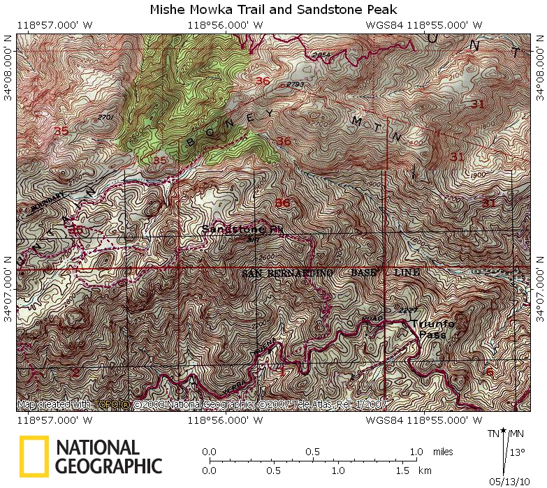
It has always been difficult to use, but now I have lost patience with the extremely poor image quality and resolution of the maps. They are supposed to get their data from USGS topo maps, but the unreadable crap above (of an area in the Santa Monica Mountains) doesn't look like any USGS topo map I have ever seen. There are a few trails in there I am supposed to attempt to trace with their path tool. They must be joking. Who the hell can see the trails in this mess?
And, yes, that's the best resolution I can get. No way to zoom in any farther. Maybe I could, with a lot of effort, trace a trail with my eyes from 20 years ago, but not now.
The maps have always looked like crap. The maps in my Flickr photostream have been tarted up considerably in Photoshop before I uploaded them. But here I decided to show exactly what the maps look like before they are cleaned up. Garbage.
So I am now looking for an alternative. All I want is map software with:
o topo data;
o the ability to trace, import and export GPS tracks;
o export to JPEG; and
o maybe an elevation profile jobbie.
I've seen some folks using different software from time to time. Anyone have any suggestions?


