Dougb wrote:Kathy, I added my pirate treasure map of Rabbit (I sketched it after the last time I did it 5 yrs ago) to my profile page. It may be too little too late unless you have one of those blackberry thingies since you maybe already there, but I dug it out today and took a photo of it and put it on SP. Now I gotta figure out how to add it to the Rabbit Pk page. Anyhow, it is a very accurate map of the route, it may look crude, but it's spot on.
Doug: Thank you for all of the great information and the map - I'll be using it all. I'm looking at giving it a try in two weeks.
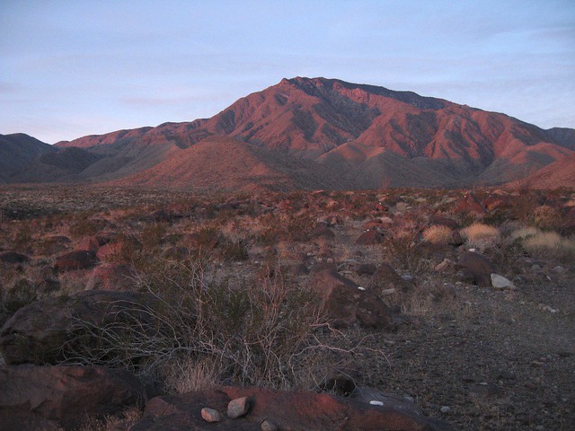
When I work out in the Coachella Valley, I often find myself down in the Oasis area looking up at up at Rabbit but I've never been completely clear on what's the best way up from the Valley.
I think it'll be okay to park down on Filmore Street. There aren't a lot of people living out in that area and those who do are mostly good people who work on the farms, so I think it's pretty safe.
I'm not a fast hiker, so I'll probably go ahead and carry the sleeping bag and pad - I'd love to camp on top of Rabbit but not sure I'll end up doing that. The other time I did Rabbit, I went from S-22 to Villager, on to Rabbit, and then back to Villager the first day. Then it was an easy trek back out to S-22 the next morning. Anyway, I'll just look at my first trip as an exploratory trip to scope out the route and if I make it all the way up and back down that will be an added bonus.
Kathy