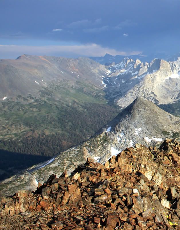
Page 1 of 1

Excelsior Mountain

PostPosted: Thu May 10, 2012 9:35 pm
by thexcat
I'm seeking advice on hiking Excelsior from Saddleback Lake. From what I've gathered, this is not a popular way to summit. The preferred trailhead is Virginia Lakes.

Could somebody comment on the route? From Saddleback lake, is it best to go via Steelhead lake or Lake Helen? And what grade terrain should I expect? From what I've read seems it'll be mostly class 2.

Thanks!

Re: Excelsior Mountain

PostPosted: Fri May 11, 2012 1:06 am
by boyblue
I did a similar hike in reverse some time ago. I started from Lundy Lake and hiked up past Burro Lake to the top of Excelsior. From there, I followed the Sierra Crest south (mostly class 1) to the top of peak 12,160+.
ExcesiorSouth2.jpg
South Ridge of Excelsior Mountain (in the distance)
ExcesiorSouth2.jpg (732.04 KiB) Viewed 1341 times

Continuing along the Sierra Crest toward Shepherd Crest seemed kind of dicey: (Edit: It was out of my way.)
ShepherdCrest.jpg
Edit: Zoom past Shepherd Crest (line) to Sheep Peak and Halfdome
ShepherdCrest.jpg (737.14 KiB) Viewed 1341 times

so I dropped down to the small lake at about 11,000+. I then crossed an easy ridge to Shamrock Lake. My opinion is that the hardest part for you would be the climb from near the lake at 11,000+ feet to the top of peak 12,160+- a reasonably short class 2 slog. I came down the chute that drops straight from the summit in this picture, but there seem to be several other options. The left skyline is the class 3ish Sierra Crest:
ExcesiorSouth1.jpg
South Side of Peak 12,160+
ExcesiorSouth1.jpg (741.27 KiB) Viewed 1341 times

Unfortunately, I don't seem to have an image of the slope above Shamrock Lake handy, but I don't remember any significant hardships.
I hope this info will help :)

Re: Excelsior Mountain

PostPosted: Sat May 12, 2012 2:50 am
by BHunewill
I would think the best route would be to head up from Steelhead lake to Sky Pilot Col (just east of Shepherd's Crest). Head down the other side, then up a lot of fun scree to Excelsior.

Image

This is the view of Shepherd's Crest, then Excelsior to the left as seen from Virginia Peak. Just guessing, but I'll bet heading from Steelhead to Excelsior then having to climb back up to Sky Pilot Col on your way out would make it about 500 feet elevation gain more than going from Virginia Lakes.

Re: Excelsior Mountain

PostPosted: Sat May 12, 2012 6:45 pm
by boyblue
Oops... now that I've taken another look, the second picture I posted is a zoom through Shepherd Crest past Sheep Peak to Half Dome... my bad. :oops: That was not the Sierra Crest that I highlighted but a part of Shepherd Crest. Sorry about that. (A little 'dust in the attic', I guess :) )

Here's what I should have posted:
EastOfSC.jpg
South of Peak 12,160+ (Take two)
EastOfSC.jpg (714.34 KiB) Viewed 1244 times

The line highlights part of the route above Steelhead Lake (Skypilot Col?). My route was well to the left of this picture since my destination was Lundy Lake.