After Crown Valley there has been no recent maintenance and the trail is completely overgrown in some spots. A couple of times I lost track of it and was left to navigate on my own for a while. However it's in good condition mostly, and makes for a delightful long forest hike through big pines.
Our first day out, less than a week after LIncolnB passed through, we found a Forest Service trail crew on its third day working on the trail to Blue Canyon. They were just east of Crown Creek, and when we came down the creek five days later the trail was in good shape all the way back to the car (which we had parked at the end of the road suggested by LIncolnB, saving at least a mile of hiking and 300 feet of elevation gain). The FS crew chief didn't know how long ago the last crew had been through, but was sure it was before the fire that swept through 7 years ago.
On the park side it was a different story, in particular climbing up to the high point of the trail before the drop into Blue Canyon, where the trail disappeared into loose dirt and brush several times for significant stretches.
In six days, the only people we ran into besides the FS crew were two climbers on the summit of Finger Peak, who had come up from Portal Lake on the Blackcap Basin side, and three members of the extended family which owns the inholding in Crown Valley (which it turns out has been in the family for four generations and is no longer used for grazing or other commercial use).
The hike over Dykeman Pass, across Alpine Creek (a beautiful valley in its own right) and up Tunemah required almost no class 2 travel (by the easiest route, which was not necessarily the shortest). Summiting Tunemah about noon, we had almost an hour-and-a-half of watching spectacular mixed clouds and patches of blue sky and surveying the the peaks from Goddard to the Palisades (visible in their full glory from Agassiz to Middle Pal), plus the less familiar (to me) but also spectacular world of the Middle Fork of the Kings. Tunemah does feel a little like the edge of the world, but it was neither harsh nor dreary and my only regret of the trip was leaving the camera behind on the day we climbed it.
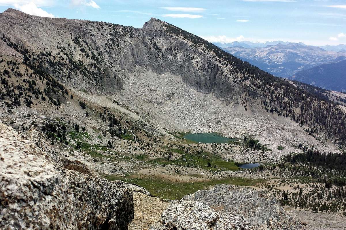
The path up Blue Canyon does continue beyond Big Meadow, east of and above the creek, and, if you are lucky enough to stay with it for a few hundred overgrown yards coming up from Big Meadow, provides an efficient way across intervening rock and talus before returning to the edge of the creek at about 9200-9300 feet.
Looking for something new on the way back, we crossed Coyote Pass, starting upward probably farther north than ideal and finding the hardest travel of the trip. There was no sign at all of any former trail between Big Meadow and the creek below Mountain Meadow. Before we got within sight of Crown Creek the trail (which we'd eventually found) disappeared for good amid the post-fire detritus, leaving us to travel south staying west of the creek until we hit the main trail--which was not generally troublesome.