Page 3 of 3

Re: 2016 Sierra Challenge Aug 5-14

PostPosted: Mon Aug 29, 2016 4:36 am
by Scott Barnes
I particularly liked what Sean R. did, so I've shamelessly copied him, right down to using Google Photos and an identical, if inferior, commentary style:

Day 1: https://goo.gl/photos/RtSGFaj4a2tKEzmA6
Day 2: https://goo.gl/photos/7dsvKDQjDMRmPVmf7
Day 3: https://goo.gl/photos/yXxbG4SzFKJonH6n6
Day 4: https://goo.gl/photos/ueuZBYw1ihDyNcaPA
Day 5: https://goo.gl/photos/YR1zSPfMW9sdr8Kt9
Day 6: https://goo.gl/photos/hzpPTGn534ranFgq6
Day 7: https://goo.gl/photos/WRc7xvWM9yxfJcuL6
Day 8: https://goo.gl/photos/Z4ycrAwejFQg1QTZ8
Day 9: https://goo.gl/photos/XEX5z6za5G5TE8Xc8
Day 10: https://goo.gl/photos/LFedndp82jWfhCb68

Also, I know I sound like a broken record, but thanks again for creating the Sierra Challenge, Bob. To say that this was 'so much fun' and that it is the 'highlight of my year' is such a gross understatement that I think it trivializes the tremendous range of positive feelings and memories I have about the Challenge. Indeed, I genuinely lack the capacity to express myself owing to a certain poverty of language, so I'm forced to (attempt to) articulate my appreciation with commonplace superlatives and refrains of "thank you so much!". Suffice it to say I'm entirely sincere when I express that these 10 days have become the highlight of my year and I'm already daydreaming of next year.

Also, I echo what Bob P. said re your trip reports. I find them extremely helpful and realize I should do more to share things I learn on my own travels so others can benefit. So thanks for that, too!

Best,

Scotty B.

Re: 2016 Sierra Challenge Aug 5-14

PostPosted: Mon Aug 29, 2016 8:20 am
by colinr
Scott, you got to see more than anyone else, so the photos, videos, and maps of your wanderings filled in some gaps nicely! I definitely wish I had felt motivated enough on Days 2 & 3 to go ahead and complete those loops with you, but I suspect it won't be long before I check those spots out in person. Winging the routes everyday was fun, but I, too, plan to do more homework next time around. Highlight is a fitting descriptor for 2016 Sierra Challenge; whether scheduling works out or not, I'm extra motivated to train for next year and hope to see y'all again soon. Congrats on experiencing all those peaks and enjoying it so much!

-Sean


P.S. Matt, I'll be looking forward to more videos when you figure out the best way to share.

P.P.S. I've got a guest room up here if anyone wants to experience some of the craziness Eric maps in Big Sur and Diablo Range this winter & spring. Bushwhacking, sneak experience, or both are likely bonuses. 8)

Re: 2016 Sierra Challenge Aug 5-14

PostPosted: Mon Aug 29, 2016 5:44 pm
by Turtleggjp
I'm back from a weekend of backpacking with my mom. I'll be uploading my video from day 1 of the challenge when I get home tonight. I'm hoping to type up a nice story to go with it!

Matt

Day 1: Hunewill Peak.

PostPosted: Tue Aug 30, 2016 5:14 am
by Turtleggjp
It was time for another Sierra Challenge to begin. I left from work on Thursday with all my stuff packed in the car, and headed north. I stopped that night at Motel6 in Bishop, deciding to stop there instead of my original planned stop at the one in Mammoth. Unable to book a room for Friday night, I would not be able to leave my stuff behind, so I opted to stay in Bishop since it was a slightly shorter drive, and right along the main highway. I also did not have to remove all the food from my car due to bear break-ins. I got a choice room on the ground floor right at the front, and was soon showered and off to bed.

The next morning, I was quickly up and out the door driving up to Twin Lakes. While driving the road from Bridgeport to Twin Lakes, I pulled over to capture the most awesome shot ever during the Challenge:

IMG_0346b.JPG
Odometer Milestone
IMG_0346b.JPG (141.14 KiB) Viewed 7287 times


Ok, maybe not that awesome, but interesting nonetheless. :lol:

This didn't delay me too much (I had to be fast, since there wasn't really a good spot to pull over), and I still arrived at the trailhead in plenty of time. After getting my shirts from Bob, and saying a few hellos to old friends, we were off. Bob suddenly darted back to his car to retrieve something he'd forgotten, and I took the opportunity to shoot my opening video shot of the trailhead, and give him a quick jab about bringing up the rear. Once we broke out of the initial forest cover, we were treated to a beautiful sunrise. I fell back from the main pack as we began climbing the switchbacks, but surprisingly caught up to Bob and a few others just as they were leaving the trail.

I was a little worried about this next stretch, wondering how we were going to get through the bushes that I knew were abundant in this part of the canyon. Following our fearless leader, we plunged into the aspens. It's usually nicer to bushwhack with other people, since the leaders do more of the branch breaking ahead of you, and can tell you to try another route if they get stuck.

00191_00357.jpg
Bushwhacking Ahead
00191_00357.jpg (530.43 KiB) Viewed 7287 times


Not long after the bushwhacking started, I found a folded up trekking pole on the ground in front of me among the bushes. Figuring someone in our group had just dropped it, I called out ahead, “Did someone lose a trekking pole?” When no one answered immediately, Patrick who was just ahead of me passed the question up a little further. “YES,” called out a female voice, about 100 feet ahead. “Do you want me to pick it up for you?” I asked, figuring maybe they could just get it on the way down (sounds kinda stupid in hindsight, but oh well). “Yes,” came the answer. So, I picked up the pole and continued up. Now, I had expected today to be on the easier side, so I was only carrying my waist pack. I also had my own single trekking pole, which was becoming difficult to carry through the bushwhacking. With no good place to pack it away, I now had to carry two trekking poles in my hand. I soon reached the approximate location where I had heard the voice, but found no one waiting for me. Continuing up, the bushwhacking was soon compounded by some rock scrambling that we would later call “class 3 bushwhacking.” While it was a bit fun and interesting, carrying both trekking poles was difficult and began to get annoying. Still no sign of anyone waiting to receive their missing pole. Finally, I saw Bob pop up on a rock high above, taking a picture of us still fighting our way through the brush. Frustrated, I held up the dropped pole and called out, “Hey Bob! Who's trekking pole is this?!” “Mine,” came the female voice again, still about the same distance ahead of me. “Well, can I pass it up to you then?” I asked. “Oh, sorry!” came the answer. We soon came to a steep rock section that caused us to bunch up a bit, and I passed the pole up the line of people to the person who lost it, which turned out to be Iris. We soon emerged from the bushes, and took a short break to regroup. Bob was long gone ahead of us by now, most likely just phasing right through the bushes like Shadowcat from X-Men. I stumbled over to Iris and said “You're welcome” in a sarcastically exhausted voice, and she apologized for not realizing her mistake sooner. All was forgiven though, as it made for a good story to laugh about later.

The next part was rather steep, but thankfully brush free. I struck up conversations with my new companions, and explained the origin of my SummitPost name (turtle g-g-j-p). It's not terribly exciting (the four letters were the names of my turtles long ago), but it helped pass the time as we climbed the hill. I was hoping to swing by Little Lake on the way up the hill to start my goal of swimming in a lake each day of the Challenge. We ended up climbing too high, and traversed above it without even seeing it. We soon found the small inlet stream, and we stopped here for another break for water and food. As we began to climb again, the others would follow someone (Patrick I think it was) up a steeper slope, while I chose a more gradual easier looking slope. This allowed me to pass everyone and shoot a little video of our group from the front. This was a rarity for me, since I often fall behind (especially shooting video) and don't easily catch up.

00199_00275.jpg
Ahead of Everyone
00199_00275.jpg (282.63 KiB) Viewed 7287 times


Soon, we were confronted with an unpleasant looking slope, leading up to what we had been told in Bob's description was a false summit. The real summit would not be much further beyond this, but we still had a ways to go.

00200_00191.jpg
Ugh Ahead!
00200_00191.jpg (390.15 KiB) Viewed 7287 times


Slowly, we made our way up, spreading out as we got higher. At least now, my trekking pole was useful for helping me drive my way up the sand. My GPS's topo data suggested that there were cliffs on the right side ahead, and maybe we could go around the left side without going over the false summit (we knew it had over 200ft of prominence, which would have to be dropped en route to the real Hunewill Peak). This proved to be a little more difficult than just going over the false summit, so most of us headed that way anyway. I passed Rob H on his way down, and he told me that Bob and a bunch of others had taken an alternate chute down from Hunewill, but he had declined to follow them. He said that Michael G had come up that way, and reported that it would make a great descent route. This sounded good to me, but it would probably mean I would miss Little Lake again on the way down. Oh well, there was still Barney Lake as an option for my swim.

Once on top, we found a register placed by Gordon Macleod and Barbara Lilley, whom had dubbed the false summit “Bucksand Peak.” We thought that maybe since it was named, Bob would credit us with a bonus peak (especially since he had been there and signed the register himself), but I wasn't going to get my hopes up. There was an interesting looking rock formation, slightly lower than the highpoint holding the register, and while I waited for some of my slower companions to join me, I went over to check it out. I was able to climb up a little bit from a couple of different sides, but ultimately found it a little to risky, and did not make it to the top. I figured it would look pretty stupid if I fell and broke something climbing the false summit of the false summit.

Once a few others arrived, we continued over to the real Hunewill Peak, crossing a nice large snow patch along the way (yum!). The final climb was over quickly, and we were soon on the summit being treated to some great views. We found Patrick still on the summit, but no one else. Most of the others had already descended, so we accepted being in last place. As it turned out, we were not the last ones to arrive, as Brad would soon join us as well. We took a nice break to eat some of the food we'd brought with us, and I drank my favorite cookies and cream milkshake to celebrate.

IMG_0351b.JPG
Summit of Hunewill
IMG_0351b.JPG (296.36 KiB) Viewed 7287 times


The others were a little unsure about taking the shortcut chute down, but after some discussion we all decided to go for it. Patrick left first, joking that if we hear “AAAAAAAAAAHHH!!” to not take the shortcut down after all. He also promised to place 30 or 40 ducks to guide us, but oddly we never saw any. :roll: Not long after Patrick left, I was up on the summit shooting video and taking pictures when this woman with long black hair, sunglasses, and a big hat popped up from the opposite direction we had come up. I found it strange that another person would be climbing this odd peak from another direction, and was about to ask her how she'd gotten up here, when I was greeted with a deeper than expected voice. As it turned out, it was not a woman, but Eric Su! He had started from another trailhead (so I hadn't seen him in the morning) in order to hit a bunch of bonus peaks in the area, and was just now reaching Hunewill. He had grown his hair longer for a year due to a lost bet, but decided to keep growing it afterwards. He told us that Mason was right behind him, and soon he joined us as well.

00216_00321.jpg
Eric's New Look
00216_00321.jpg (151.95 KiB) Viewed 7287 times


We continued our break for a little while longer before deciding we should be getting back. Eric and Mason followed us to the saddle between Hunewill and Bucksand Peaks, where we would turn left to head down the shortcut. They would also visit Bucksand Peak, but had to return the way they had come in order to retrieve some gear they left behind. Meanwhile, Ken, Tim, and I started down the shortcut chute which proved to be as fun as advertised!

00220_00140.jpg
Wheeeeee!
00220_00140.jpg (220.95 KiB) Viewed 7287 times


After descending for a while, I noticed that my GPS's topo data showed a stream coming down our chute. Everything around us was still dry, but I figured it was just a seasonal stream that was now dried up. Not much further down, we started to hear running water, and soon found a gorgeous flower lined stream emerging from the hillside. We took a nice long break here, drinking heavily from the gushing spring.

IMG_0409b.JPG
Awesome View!
IMG_0409b.JPG (417.6 KiB) Viewed 7287 times


While taking some video of the flowers next to the stream, I spotted a colorful insect (a moth of some kind?) drinking from the flowers. I had seen one just like it the week before while hiking out of Virginia Lakes with my mom, and I managed to capture it bouncing from flower to flower on my video camera.

00230_00330.jpg
Flower Taster
00230_00330.jpg (280.78 KiB) Viewed 7287 times


None of us really wanted to leave this little slice of heaven we had found, but the clock was ticking, and we knew it was time to go. We eventually came across a trail with switchbacks that led us to connect back up with our ascent route. Following the trail as best as we could, we managed to avoid the bushwhacking we had done in the morning, and popped back onto the trail a short distance above where we had left it in the morning, and only a few hundred feet away from Barney Lake. Tim was interested in seeing Barney Lake, and since it was so close, no one objected to the detour. As Tim and Ken sat down on the sandy beach, I took a quick dip in the lake to claim my first lake swim of the Challenge. The lake bottom got muddy and gross as I got into water deep enough to actually swim, but it was satisfying nonetheless.

00245_00050.jpg
Barney Lake
00245_00050.jpg (217.04 KiB) Viewed 7287 times


After I dried off, the three of us headed for the trailhead. I got ahead when the other two stopped for a bathroom break, and would beat them back by almost a half an hour. Highly satisfied with a great first day, I got out my first of ten 32oz Gatorade bottles and would enjoy drinking it as I made the drive back to Lee Vining and the Whoa Nellie Deli. I had just eaten there the week before (following the Virginia Lakes hike), and had my mind set on a couple of things I wanted to try. I ordered the burger and fries, and sat down with Bob and a few others who were still there eating and chatting with everyone. Chris H had ordered the other thing I had wanted to get, a steak Caesar Salad, and after seeing it in person I decided to definitely get that the next night. After finishing my dinner, I next had to figure out where I was going to sleep. The others had been discussing their various secret places to sleep along the Tioga Road, and I had hoped to reuse the same little flat spot above a large parking area along the Saddlebag Lake road that I had used earlier in the summer after my hike on Falls Ridge in Yosemite. As I drove up the Saddlebag Lake road, I found there to be several cars and RVs in the parking area I had hoped to stay in, so I ended up driving all the way to the parking lot at the top of the road. I found plenty of parking spots here, and backed my car into the empty one that was the closest to the bear lockers, leaving enough room behind the car to lay out my sleeping bag. I stored all my food in the lockers (plenty of room in them), set my alarm clock, and climbed into bed. I'm still not used to rouge camping like this, and was worried that I might get in trouble for being there. It would be a long night, but at least I knew I had motel reservations lined up for nearly the rest of the Challenge.

Video link for Day 1:


Matt

Re: Day 1: Hunewill Peak.

PostPosted: Tue Aug 30, 2016 9:24 am
by colinr
Turtleggjp wrote:“Did someone lose a trekking pole?”...
no one answered immediately...


“YES,” called out a female voice, about 100 feet ahead...


“Yes,” came the answer....


“Mine,” came the female voice again, still about the same distance ahead of me....


....


:lol:


Not long after Patrick left, I was up on the summit shooting video and taking pictures when this woman with long black hair, sunglasses, and a big hat popped up from the opposite direction we had come up...As it turned out, it was not a woman, but Eric Su!

:lol:


Video link for Day 1:


Matt, I see why you lug that camera around now. Thanks for posting!

Re: 2016 Sierra Challenge Aug 5-14

PostPosted: Tue Aug 30, 2016 2:58 pm
by Turtleggjp
The little video camera is no trouble at all to carry around, as it's about the size of a soda can. I've gotten really good at getting it out quickly, shooting some quick video, and putting it away again, which is a must when I'm trying to keep up with everyone on the Challenge. I just wish it shot better than 17 Mbps AVCHD 1080i video, but hey it's also 8 years old now. At least it records to memory cards, and not tapes! When it came out, it was one of the first camcorders to shoot full HD (1920x1080, not 1440x1080) and not use tapes or a HDD.

The big one that I carried on Day 6, well that's a different story. It's a beast by comparison, but it does shoot much nicer video (3840x2160p @ 60fps, 150 Mbps). At that rate, it burns through a 64GB memory card in less than 1 hour! I take this one when I can, but gladly leave it behind on the tougher hikes (like most of the Sierra Challenge Hikes). Still, it has gone with me to Tehipite Valley, Lake Basin (backpacking trips), and Merced Lake (dayhike). I try not to take it on anything harder than Class 2, but I think we may have exceeded that a little on Day 6 traversing from Four Gables to Four Gables South.

Re: 2016 Sierra Challenge Aug 5-14

PostPosted: Tue Aug 30, 2016 4:31 pm
by colinr
Turtleggjp wrote:The big one that I carried on Day 6, well that's a different story. It's a beast by comparison, but it does shoot much nicer video (3840x2160p @ 60fps, 150 Mbps). At that rate, it burns through a 64GB memory card in less than 1 hour! I take this one when I can, but gladly leave it behind on the tougher hikes (like most of the Sierra Challenge Hikes). Still, it has gone with me to Tehipite Valley, Lake Basin (backpacking trips), and Merced Lake (dayhike). I try not to take it on anything harder than Class 2, but I think we may have exceeded that a little on Day 6 traversing from Four Gables to Four Gables South.


Oh, yes, now I remember that you explained this to me on Day 6. That was the main day that I paid attention to your camera(s), so I didn't fully understand until now.
Yes, we briefly took on some fun class 3! We could have bypassed it, but I'm glad we didn't.

Day 2: Kuna Crest

PostPosted: Sat Sep 10, 2016 2:03 am
by Turtleggjp
As I laid in my sleeping bag behind my car at the Saddlebag Lake trailhead, I wondered for a while who would care that I was there. There is a group campsite nearby that was very occupied, and not long after I went to bed, the car next to me started chirping and blinking its lights. Someone came over and got some stuff out of the car, but paid no attention to me. I would eventually doze off, but then suddenly heard the sound of a truck pulling in. A man got out, and I could hear him talking to someone on a radio saying that everything looked fine up here. Just about then, his light hit the bottom of my sleeping bag and I heard him say, “Oh hang on, I just found one.” :shock: BUSTED! :shock: He came over and said, “Excuse me sir, you’re not allowed to camp here,” and then rattled off a whole bunch of regulation numbers I had no idea what he was talking about. Not wanting to cause any more trouble I got up, threw my stuff in the car, and drove off. I was then talking with my parents telling them how I’d been kicked out and didn’t know where I was going to sleep that night. I could just stay here with them in our place in Lake Arrowhead, but it was an awfully long drive to the trailhead in Yosemite the next morning. Wait… how did I get all the way down to Lake Arrowhead from Saddlebag Lake so fast? Suddenly, I woke up and sat up in my sleeping bag, still at Saddlebag Lake behind my car. All was quiet, cold, and dark. Whew! It was just a dream. Don’t you seem to have the weirdest dreams while sleeping out in the mountains? I continued to sleep on and off until my alarm clock went off at the right time. I was happy to get up, get dressed, and head off into Yosemite to start Day 2. I left most of my food and Gatorade bottles in a bear locker at the Saddlebag Lake trailhead, figuring there would be little to no bear locker space at the Mono Pass trailhead. I would have to make another drive up the Saddlebag Lake road at the end of the day to retrieve my food, but I’d deal with that later.

When I arrived at the small trailhead for Mono Pass, it was no surprise to find it completely filled. I drove further down the Tioga Road, and eventually found a wide spot in the road to park. As it turned out, Chris Henry was there too, and I was able to park next to him. I gathered my stuff for the day and walked up to the trailhead where a rather large group had assembled. As we left for the day, Bob took a count and said it was a new record number of people. An easy day on a Saturday, I guess it’s no surprise we broke the record.
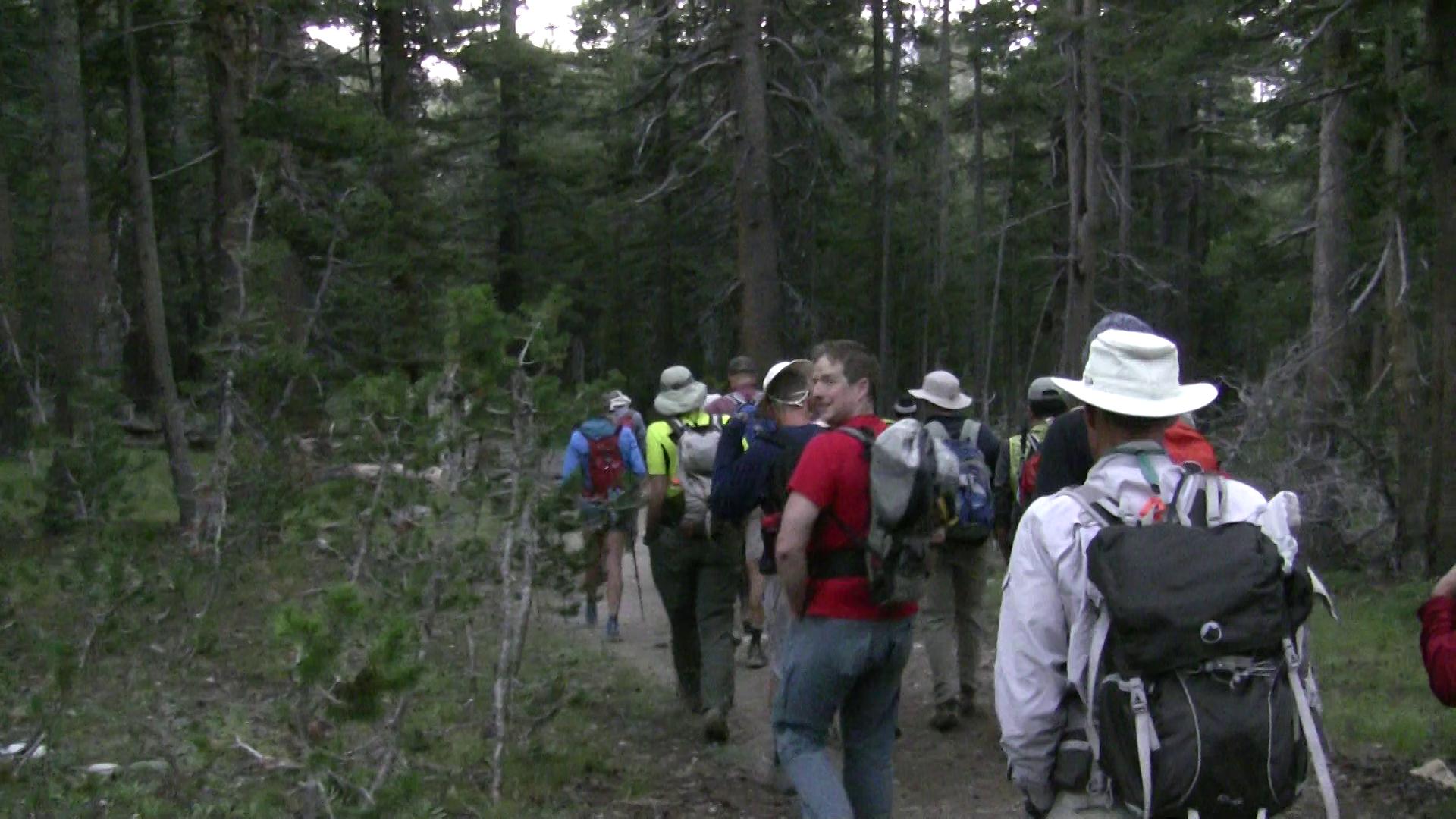
00249_00395.jpg
Record Crowd to Start
00249_00395.jpg (211.85 KiB) Viewed 7075 times


As we marched up the trail, I eventually noticed Bob and Patrick behind me. They were having fun discussing the various rules about the Challenge, and Patrick proposed things like parachuting to the summits, and jet packs. Bob was pretty quick to shoot down these cheating ideas, but it was a fun discussion and helped pass the time. I eventually fell behind at a slower pace, the lack of sleep apparently getting to me. I eventually caught up with Bob’s brother Jim and a couple of others (Evan R and Don B), which made me feel better that I wasn’t at the very end of the line anymore. We eventually emerged from the forest as we met up with Parker Pass Creek. Looking to the right, I saw what I figured (correctly) was the Kuna Crest, and I was able to pick out the two Challenge peaks, as well as Mammoth Peak. As I approached Spillway Lake, the trail abruptly ended while going through a grassy area, and it was time to continue on cross country. I caught up to a large group of people here, and suddenly I was with familiar company, including Ken and Tim, whom I’d hiked with the day before.
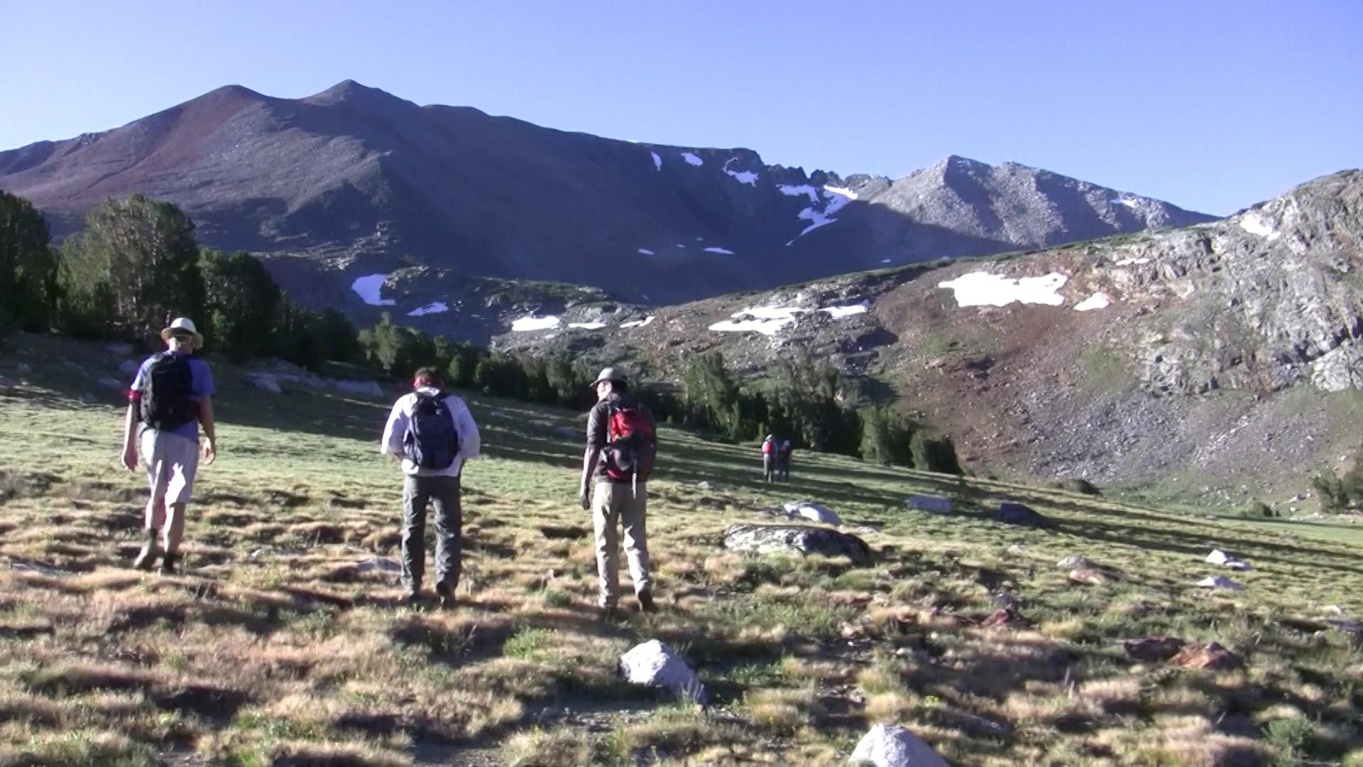
00258_00113.jpg
Catching Up to People
00258_00113.jpg (276.08 KiB) Viewed 7075 times


After climbing a short headwall, we arrived at Helen Lake, where we combined with more people to make an even bigger group. Chris H and his friend JD were here as well, and I told Chris that I’d jump into Helen Lake if he did. He immediately replied with “Let’s do it!”
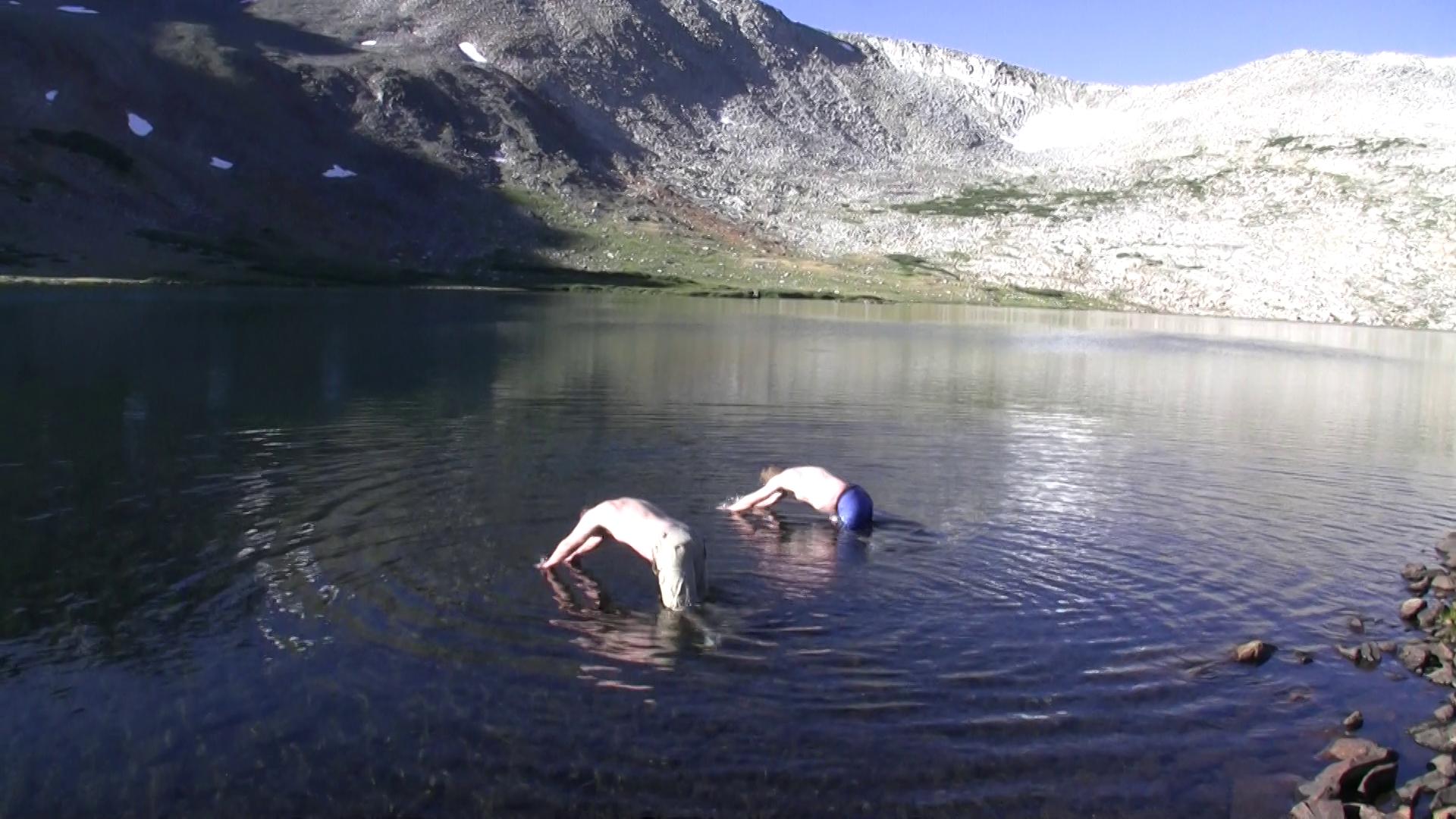
00261_03679.jpg
Sierra Challenge Dive Team Performing
00261_03679.jpg (213.31 KiB) Viewed 7075 times


The water was cold as expected, but not too bad. The real hazards were the even colder grass you had to walk on next to the lake, and the sharp rocks on the lake bottom near the shore. Since it was still only about 8 AM, it was not yet very warm, and my pants would take a while to dry. Luckily we were soon climbing up steeper terrain heading for Kuna Crest South, and this would help keep me warm. Just as we left Helen Lake, Tom B and Patrick O would join our group. We also now had Ning Y with us, who was the oldest participant in this year’s Challenge. Mason had introduced her to us earlier, and asked us to keep an eye on her (he had been the one to introduce her to the Challenge) as he was headed off on a more ambitious outing. She would prove to be excellent company today, and I was happy to hike with her. The going was fairly easy at first, but then degraded into a boulder scramble as we neared the summit. Ning was a little slower through this terrain, but we helped her through it, and she did just fine. Chris’s friend JD was also moving a little slower as we neared the summit due to the rougher terrain and higher altitude, so no one really got left behind alone.

We eventually arrived on the summit, and had a rather large gathering of people. Sean R would stop by briefly, doing our route in reverse and attempting to head further south to more peaks, as would Sean O, who had gotten behind us because he stopped by Mount Gibbs first.
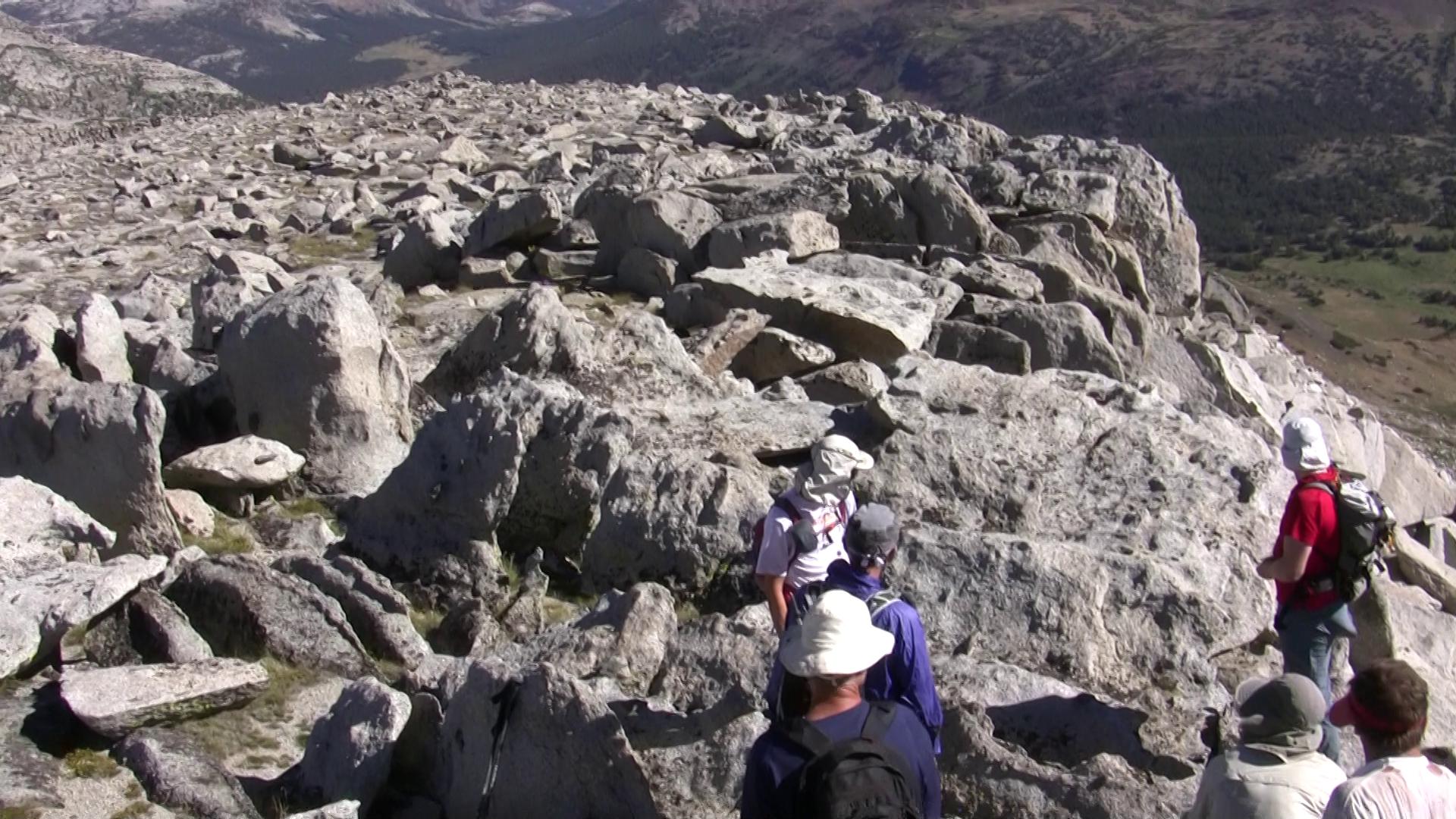
00268_01380.jpg
Summit of Kuna Crest South
00268_01380.jpg (331.51 KiB) Viewed 7075 times


Most of us took a nice leisurely break here, since we had just done the bulk of the climbing for the day. After taking lots of photos of the incredible views around us, we eventually began the journey north to the second Challenge peak.
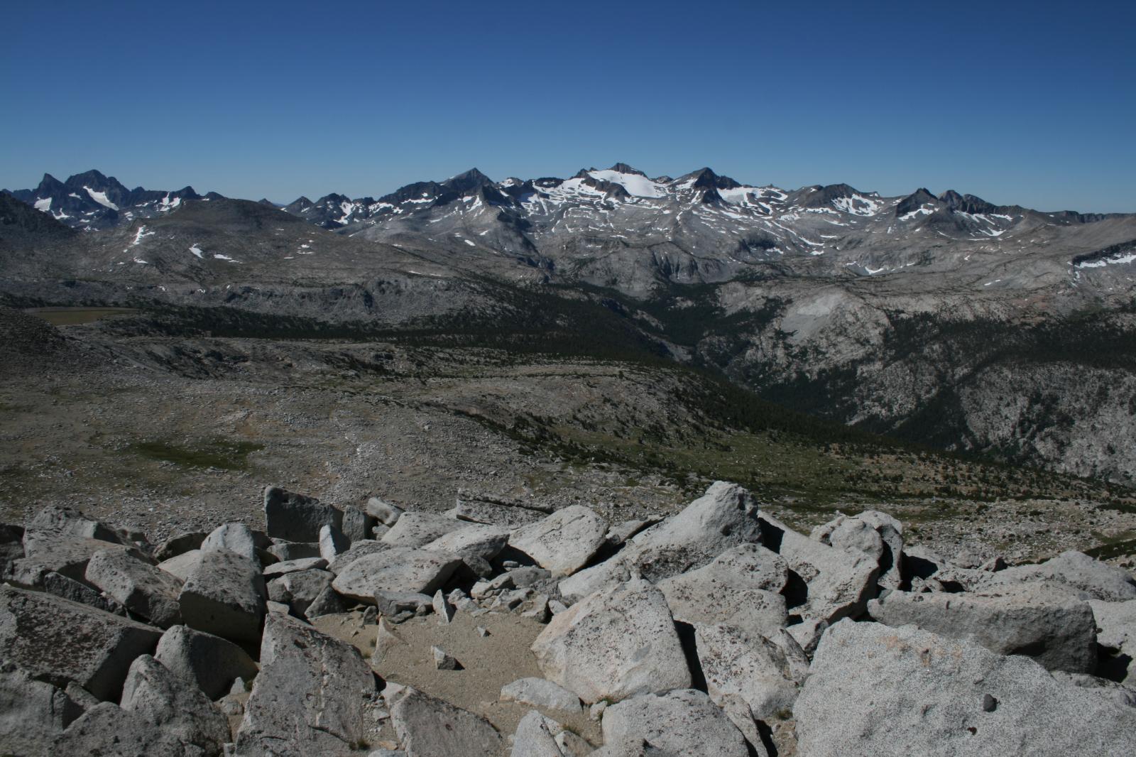
IMG_0448b.JPG
View South to Lyell
IMG_0448b.JPG (270.66 KiB) Viewed 7075 times


I left Kuna Crest South along with Ning, Tim, and David. The going was pretty easy at first, and I was amazed at how much of the tiny high altitude lupine was blooming on the otherwise barren terrain atop Kuna Crest.
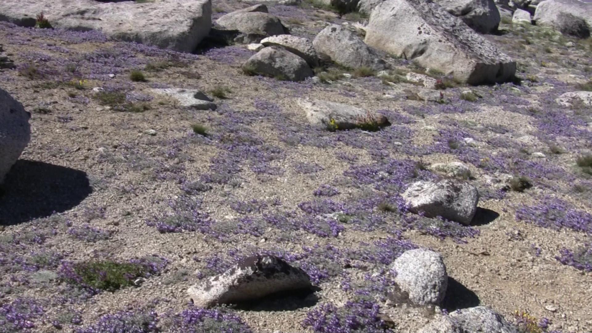
00273_00066.jpg
Lots of Lupine
00273_00066.jpg (389.37 KiB) Viewed 7075 times


After cruising downhill for a little while, we came to a nice overlook point where we could see a big cliff and another lake below off to our right. As we left this overlook, I noticed that Brad was now also following behind us. A short uphill stretch brought us to our first false summit, where the was a small rock formation that looked like a miniature Stonehenge. Ning seemed to think we were already at the second Challenge peak as she studied the map on her phone, but I knew we still had a little ways to go. As we passed over the highpoint, it was necessary to move left in order to avoid a sudden drop off, that we declared was only for braver climbers. The cliff did make for a nice visual, with yet another lake below it. We were soon at another saddle, facing our next uphill climb.
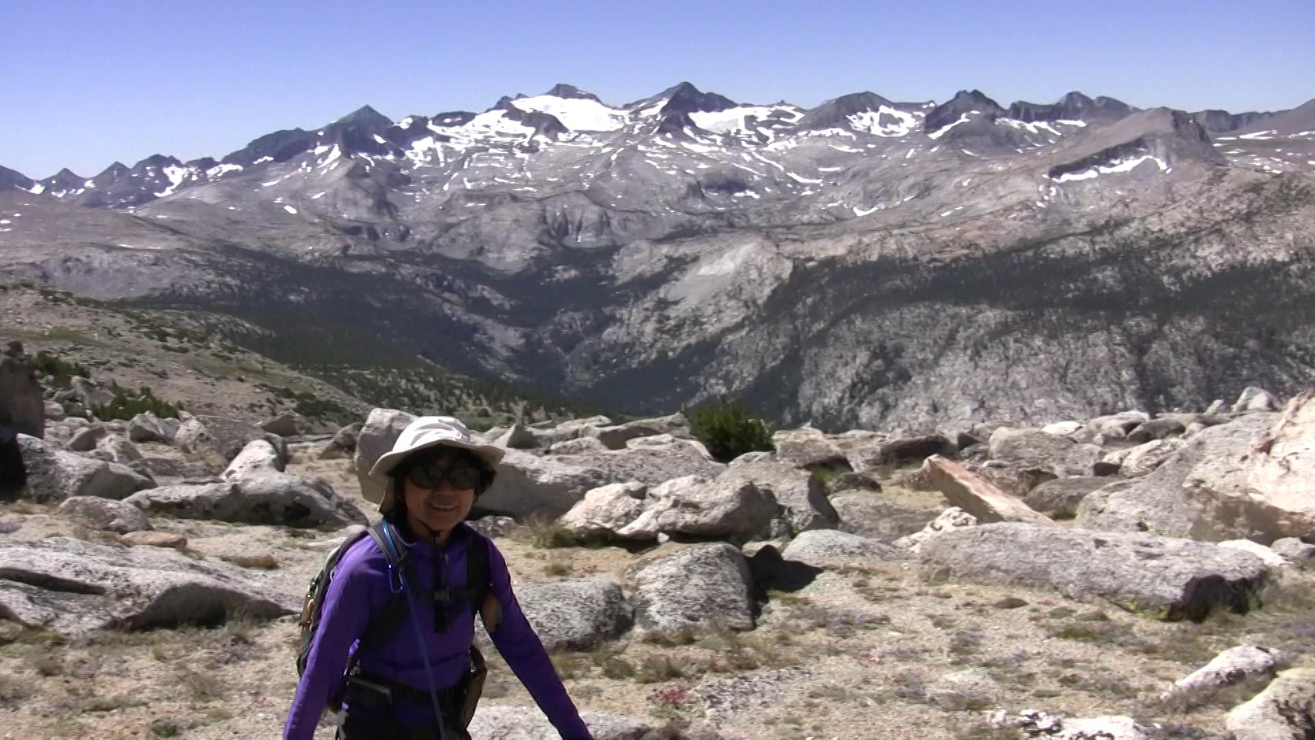
00277_00371.jpg
Ning Yeh on Kuna Crest
00277_00371.jpg (269.96 KiB) Viewed 7075 times


This next uphill stretch had a few short trees to avoid, but they caused little trouble. We were quickly over the second false summit, and beginning the final climb to Kuna Crest North. Once we arrived on the flat summit top, we stopped for a break. I went a little further north in order to get a view down to Kuna Lake, and noted that a descent down to it from Mammoth Peak looked very feasible. Since I was alone and away from the others, I took the opportunity to take a bathroom break, which seemed to come on a bit suddenly. During this time, Jim Burd and Don Brunnett arrived at the summit, so I went back over to greet them. After exchanging a few more photos, we all headed off towards Mammoth Peak. Tim was feeling tired, and when we reached the saddle with Mammoth Peak, he decided to bail off down the right side towards Kuna Lake. The climb up to Mammoth Peak involved some more difficult boulders than we'd seen most of the day, but eventually Ning and I arrived on top. To my surprise, Jim and Don arrived shortly after we did, along with Charlie Thomas and Bob Mclaughlin. Jim is often happy to call it a day after just one peak, but today he would do three! Perhaps it was because the other two peaks were on a return path to the trailhead. While the rest of us were relaxing and signing the register (the only one we found all day), Jim investigated the direct return route off the north side of Mammoth Peak, concluding that it would work. I was interested in swimming in Kuna Lake, and returning that way looked to be the most likely to work, even if it wasn't as direct. The others all decided to follow Jim, though they suggested that Ning stay with me for the more certain return route. We left the summit, first descending some of the boulders we had ascended, before eventually finding more and more sand to ease the difficulty as we headed more directly down the mountain.
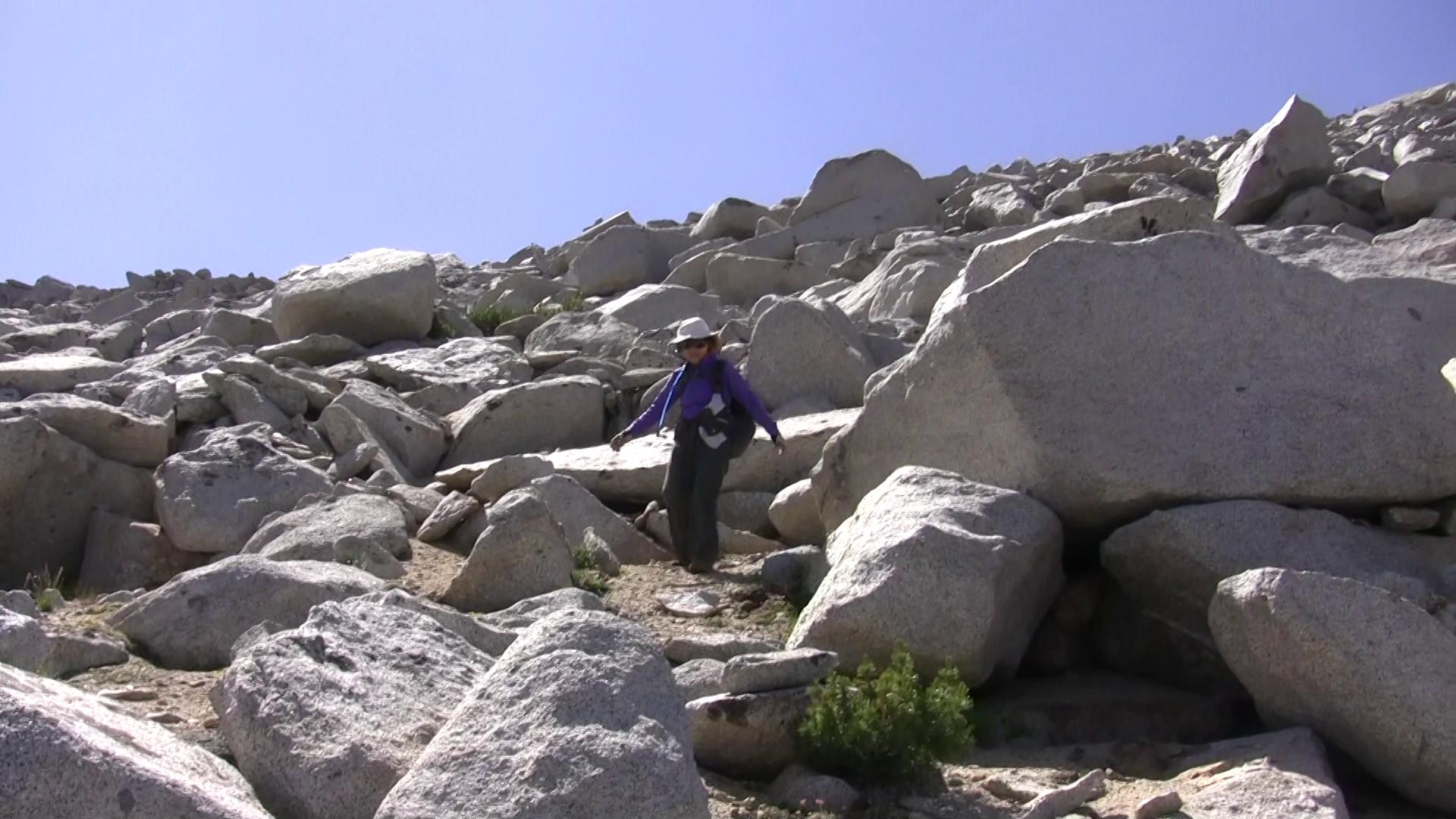
00297_00798.jpg
Ning Descending Mammoth Peak
00297_00798.jpg (232.34 KiB) Viewed 7075 times


At one point, I caught Ning falling down, but she quickly got right back up. After a nice stretch of easy sand, we came across a steeper section that we could not see from above. It proved to be short, and not too difficult, and we were soon down at the shore of Kuna Lake. I quickly got into swimming mode again (pant legs zipped off, pockets emptied out), and after showing Ning how to use my video camera, jumped into Kuna Lake for my third lake swim of the Challenge.
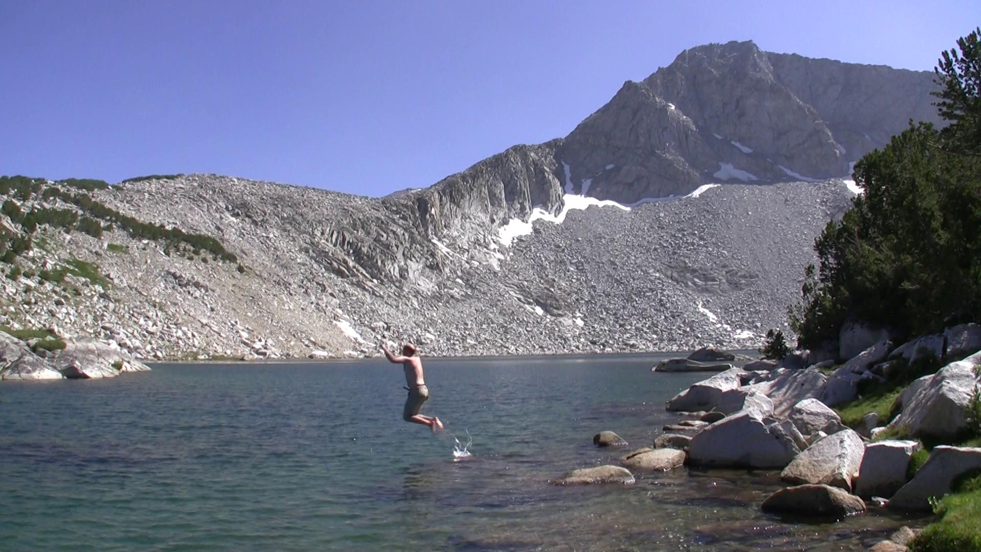
00302_00387.jpg
Matt Jumping into Kuna Lake
00302_00387.jpg (270.44 KiB) Viewed 7075 times


As I got out of the lake, I asked Ning if I should jump in again. She said yes, but as I got ready to jump in again, she suddenly shouted, “Wait!” It was too late though, as my momentum kept carrying me forward. What resulted was more of a fall in, rather than a jump in, which Ning managed to capture the very end of with my camera. I then dried off, while Ning enjoyed a fruit she had brought with her. We then set out on what would be a very delightful romp through the rolling hills and forest, looking for the trail. I was unable to shoot much video through this stretch, since my battery was almost drained (I'd been unable to give it a full charge the night before). I could see where we had been in the morning on my GPS, so we weren't going to get lost. We mainly followed the outlet of Kuna Lake past some very pretty meadows with meandering streams. I would eventually start to head more to the right towards the trail, but would then veer back if we ran into steeper terrain. I had to carefully navigate around a couple of swampy areas that were filled with wildflowers, but they didn't cause too much trouble. The crux turned out to be finding a place to cross Parker Pass Creek, but even this didn't take too long. Once across, we soon found the trail, and had about 2 miles to go. As we got closer to the parking lot, I began announcing how many tenths of a mile we had left to go, which helped give me something to do besides walk, and Ning something else to think about. We finally returned at about 5:30PM, and I was able to walk down the road and move my car into the parking lot.
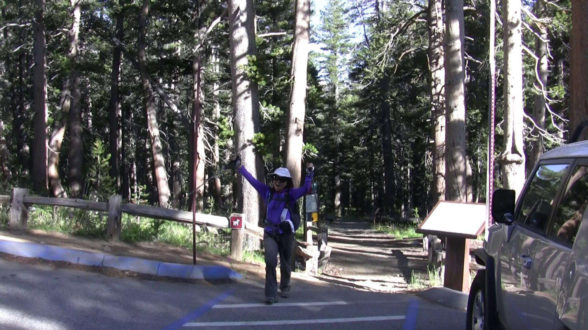
00308_00152.jpg
Back at the Trailhead
00308_00152.jpg (353.42 KiB) Viewed 7075 times


Once I did, Tim drove up in his car, and we were able to chat with him for a bit before saying goodbye to him (he was only participating in the first two days). Ning had been talking about climbing Mount Dana the next day instead of the harder Mount Bartholomew, and was wondering where she could stay the night in her car. I suggested she stay up at Saddlebag Lake like I had the night before, but she was unsure how to get there. Since I still had all of my food up there, I offered to lead her up there. Once we arrived, she said that she didn't realize I meant this place (she had been up here on a backpacking trip not long ago to climb North Peak). She decided to stay there anyway, so I packed up all of my food, and headed down to the Whoa Nellie.

When I got there, Bob and most of the others were already gone, but Chris was still there along with a few others. I went in and ordered the steak salad I had seen Chris get the previous night, and also grabbed a slice of pizza to eat while I waited for the salad. I did not also order a drink, since I had my second bottle of Gatorade to finish, and would just drink water afterwards. I sat down with Chris and I told him I had swam in two lakes that day. Someone suggested we have our own jersey contest for lake swims, but we needed a color. I immediately suggested a blue jersey (I had already given this some thought), but then someone else came up with an even better idea: The Aqua Jersey. We then began discussing the rules for it, such as would there be a 1 lake per day limit like Bob's Yellow Jersey, and if not would we count two lakes that were close together, such as the two Beck Lakes on tomorrow's route. In the end, we decided to not put a limit on the number of lakes, and to count both Beck Lakes, since I think Chris wanted a chance to catch up to me (he had not swam in a lake on day 1, and only 1 on day 2, giving me a 3-1 lead). Eventually Jim and Don arrived at the Whoa Nellie, having taken more than an hour longer than Ning and I to return to the trailhead. So much for the shortcut back to the cars! :roll:

I was feeling energized as I drove down to Mammoth, where I knew I had a shower and a bed waiting for me. The first two days of the Challenge had been awesome, with great weather and wonderful companions. The excitement of finally having our lake swimming category being somewhat official only added to my happiness. This would suddenly come to a screeching halt however, as that night while I was in the shower, I picked up one of my feet to wash it, and my other foot slipped on the bathtub floor. This caused me to go into a dramatic fall that must have caused a whole bunch of noise to whomever was in the room below me. As I picked myself back up again, the second toe on my right foot was hurting quite a bit. I could move it along with my other toes, and wiggling it with my fingers didn't make it feel much worse, so I figured it wasn't broken. Still, the next day was going to be pretty long, and I did not know how it would feel when crammed into my hiking shoes. Could this be the end of my Sierra Challenge? A stupid silly accident in the shower? I would find out in the morning...

Video link for Day 2:


Matt

Re: 2016 Sierra Challenge Aug 5-14

PostPosted: Sat Jul 08, 2017 3:46 pm
by Blkdimond17
Is there going to be a 2017 Sierra Challenge? And if so where would one find all the details for it?

Re: 2016 Sierra Challenge Aug 5-14

PostPosted: Sat Jul 08, 2017 7:55 pm
by fedak