California Ridge crash site

Posted:
Tue Feb 04, 2014 5:42 amby goofball
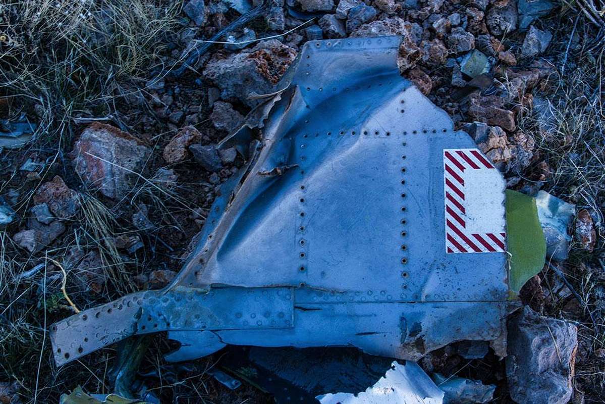
Traversed California Ridge today (between I-15 and Valley of Fire) and found a lot of scattered but mostly very small debris up high about 100' beneath the crest, ~2 miles (?) north of where the road to Weiser Mine cuts thru it. Unable to find any info online, does anyone happen to know anything about this site ?
Re: California Ridge crash site
Posted:
Wed Feb 05, 2014 5:36 amby boyblue
I was intrigued by your post and did a little Googling and found the following site:
https://maps.google.com/maps/ms?ie=UTF8&t=h&oe=UTF8&msa=0&msid=114943749473014216758.000439e4acb99bb30cb9fThere is a crash site marked on the map about 4 miles east of California Ridge that may very well be misplaced from where you found actual debris. Almost no information about this military mishap, though. Apparently, they're not in the habit of holding press conferences about every single test flight that goes awry. (Hope the pilot was able to eject to safety.)

Re: California Ridge crash site
Posted:
Wed Feb 05, 2014 8:31 pmby Jesus Malverde
Re: California Ridge crash site
Posted:
Thu Feb 06, 2014 4:09 amby goofball
thank you guys.
jesus - i had seen that 1st site you reference but found no info there. that 2nd site i see nothing either.
boyblue - i saw that google map too, and it seems reasonable it could be associated with what i found. maybe what i saw on the ridge is from an airborne break up, while the map pinpoints the main impact site ? was hoping to find some more definitive record tho. but like u said, military probably doesn't want press on every mishap.
been googling insignia as wel to try and find what that partial logo may indicate, but no luck yet.
thanks again guys !