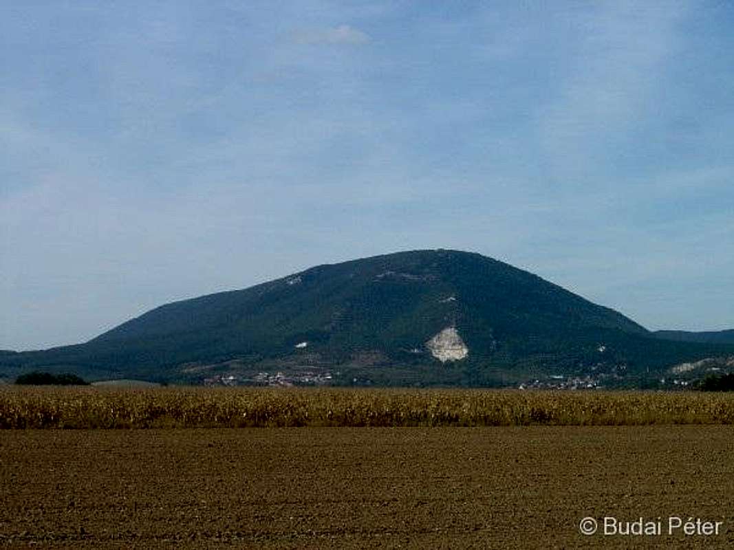
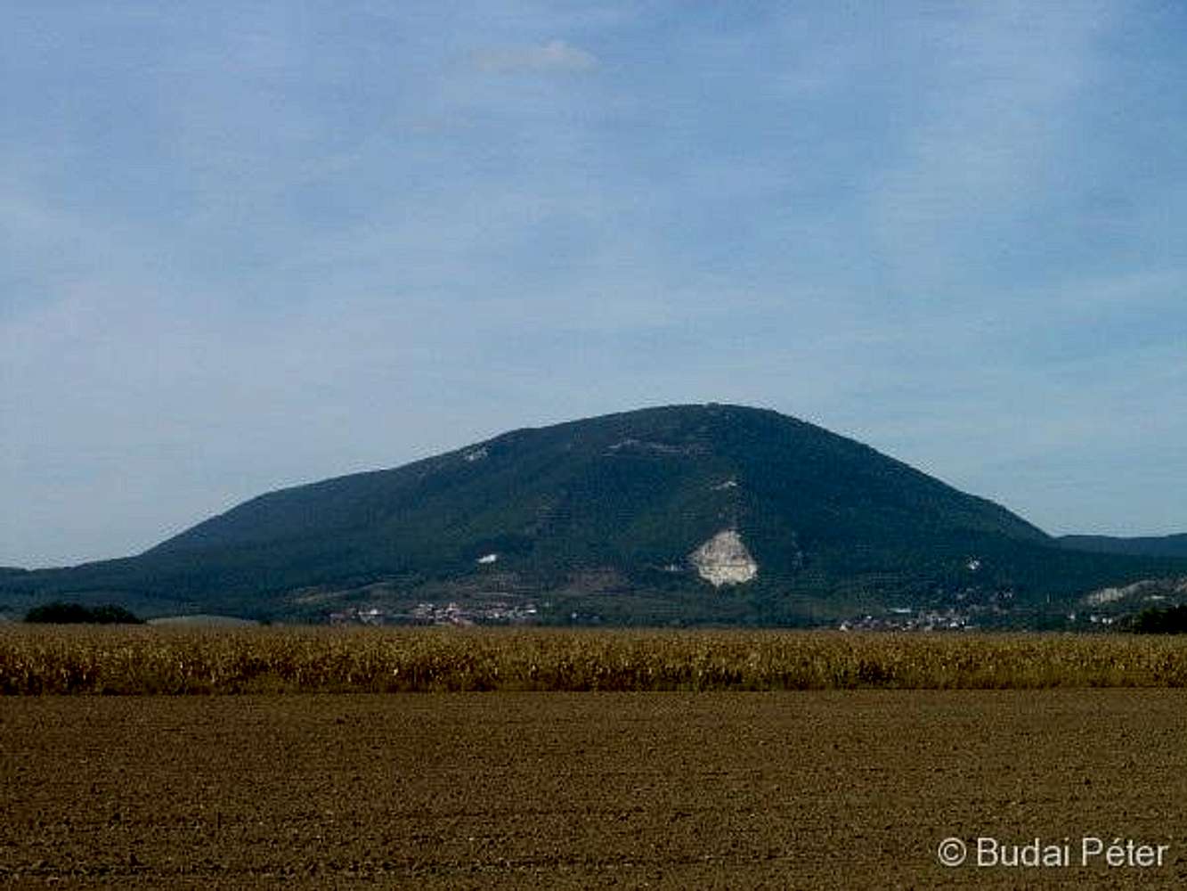
Pilis-tető (756 m) is the highest point of the
Pilis range and the second highest point of the whole Transdanubian region (following
Írott-kő/Geschriebene Stein on the HU/AT border). The white spot in its side is a former quarry (the range is made up of limestone).
Its prominence from the surroundings is about 550 m, thus it offers a nice hiking possibility. No marked trail goes to its top, however, as it was used as a military base until 1996, when it was dismantled (well, not completely, the bunkers' remains can still be seen). Since then Pilis-tető has become an "unofficial" target for hikers and paragliders.
The top has the potential of a 360° panorama, yet the north view is blocked by trees (unfortunately the geodetic tower, which is higher than the trees, was made inaccessible).
(
Pilis Mountains, 27. Sept. 2009.)


