
|
|
Mountain/Rock |
|---|---|
|
|
44.06052°N / 121.28326°W |
|
|
Deschutes |
|
|
Hiking |
|
|
Spring, Summer, Fall, Winter |
|
|
4138 ft / 1261 m |
|
|
Overview
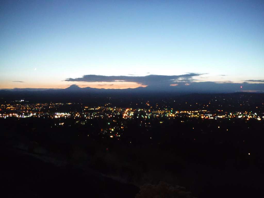
Downtown Bend from Pilot Butte at night
I actually am surprised that this summit somehow either disappeared on SummitPost or never made it to SummitPost. This quirky summit is very popular with many of the locals in Bend Oregon. Pilot Butte is one of only four volcanoes that are completely within the limits of a city of the United States. Portland (Mount Tabor), Honolulu (Diamond Head), and Jackson, Mississippi (Jackson Volcano) are the others. The cinder cone rises 500 feet from the city base and has an extensive park system around it. Each day this summit sees very heavy traffic from both hikers and drivers. As for the views on a clear day they are excellent. Being up here is an absolute must provide you are aware hundreds of others already know about this peak providing good sunset shots. Thousands of summits can be seen from Pilot Butte including Mount Jefferson, The Sister, Mount Bachelor, and Mount Theilson. Because of this stunning view the state of Oregon made this a State Scenic Viewpoint.
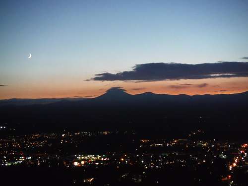 Mount Bachelor from Pilot Butte | 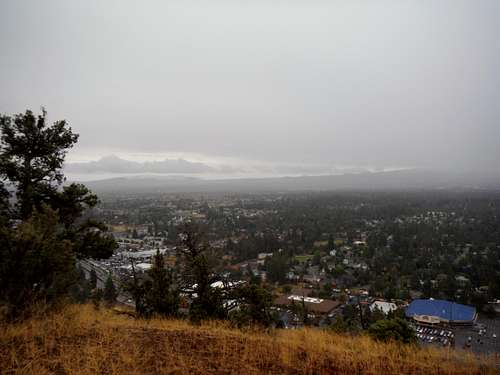 Another view of Bend through the rain |
The easiest way to get to this summit is by car. There is a trailhead to the east that rises to the summit which rises roughly in 1.6 miles round trip and 500 feet of elevation gain. The trail is in good condition and rises up at a moderate pitch. This is a running and hiking trail and does not require any special footwear. There is also a good exercise area at the trailhead. Each year in September they a challenge to see who is the fastest person to climb Pilot Butte. Many of the times are just above 7 minutes. Somehow though I think there some
SummitPost writer out there that can beat the times.
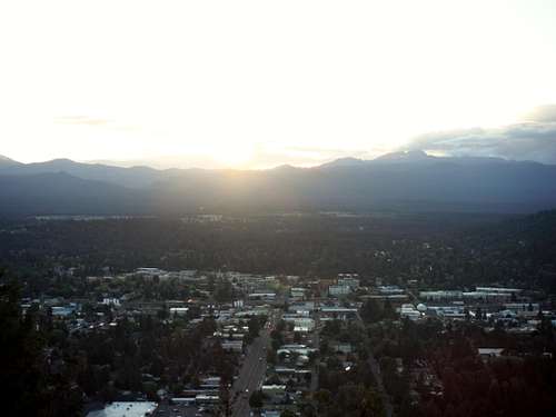 Downtown Bend from Pilot Butte. | 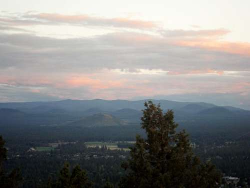 Newbury Crater from Pilot Butte. |
Getting There
This summit is very noticeable from all of Bend. The summit is three miles east of downtown Bend. Take Greenwood Avenue to right at the foot of Pilot Butte. On the west side is the turnoff to the road to the summit. On the eastside is the trailhead to the trail to the summit.Route

The trail up Pilot Butte

View of Bend through the rain
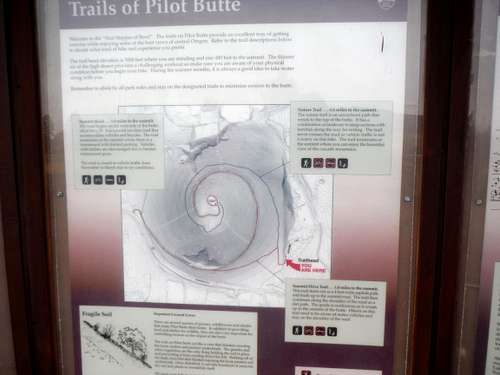
Pilot Butte Map