
|
|
Route |
|---|---|
|
|
36.02285°N / 111.88441°W |
|
|
Download GPX » View Route on Map |
|
|
Hiking |
|
|
Spring, Summer, Fall, Winter |
|
|
Half a day |
|
|
Hike |
|
|
Overview
Pinal and Papago (Hollenback) Points sit on the South Rim of Grand Canyon to the west of Lipan Point. They can provide you with some of the best views of the canyon despite the fact that they are fairly unknown and no trail goes to them. From an un-marked spot on Route 64, a half a mile hike in the forest on flat terrain can take you to the rim of the canyon. You can then follow the rim to Papago and Pinal Points (unmarked) before returning to the starting place creating a 4 mile loop hike. In contrast to the extremely crowded Rim Trail, you are unlikely to see any other people on this hike.
Getting There
The starting point for this hike is an unmarked pull-off by Route 64 (South Rim Drive) 3 miles to the east of the branch road that goes to Moran Point and 2 miles to the west of the branch road to Lipan Point. There is enough parking space for 2-3 vehicles (see map).
Route Description/Trip Report
Hike length: 4.0 mile loop
Elevation Range: 7120-7365 ft
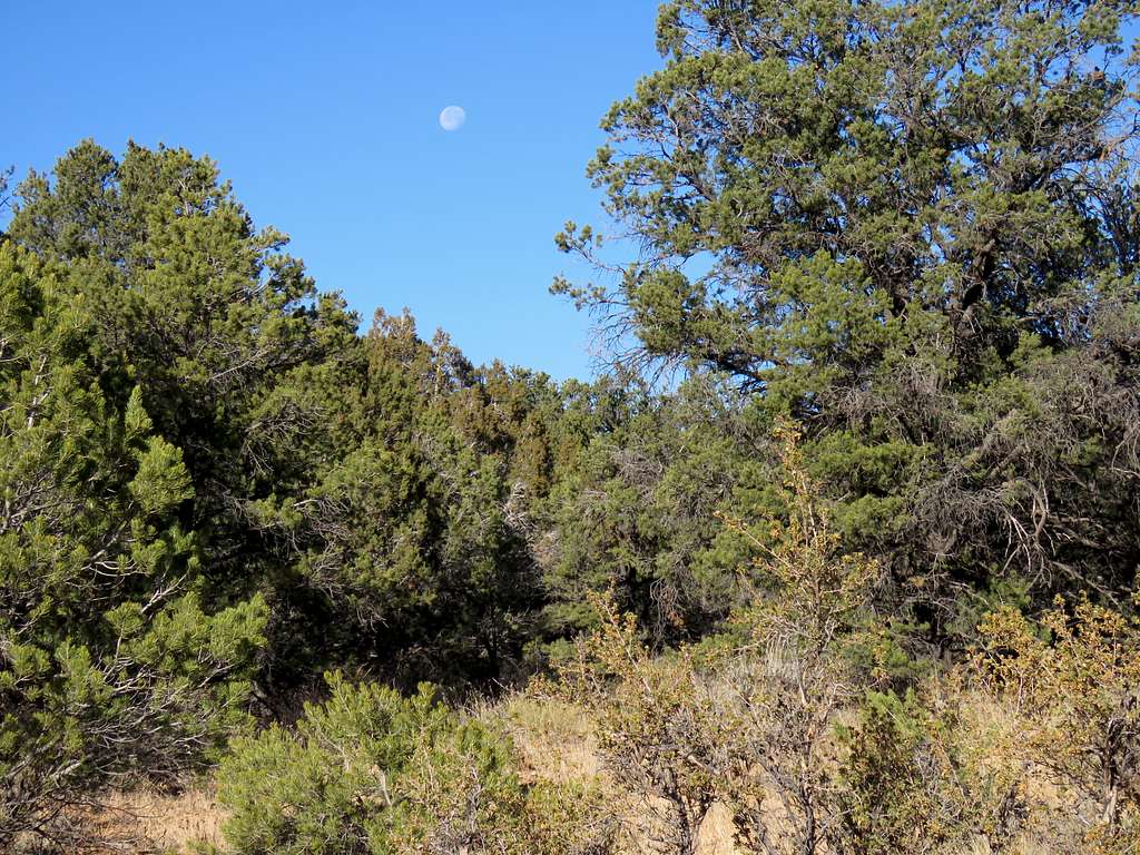
Left the parking area at 9 AM. Headed northwest into the juniper forest following the path that I had entered into my GPS. The moon was visible. The forest was open enough to not require bushwhacking. During the hike, every 45 minutes or so, 3-4 sightseeing helicopters flew over me at low altitude creating a nuisance.
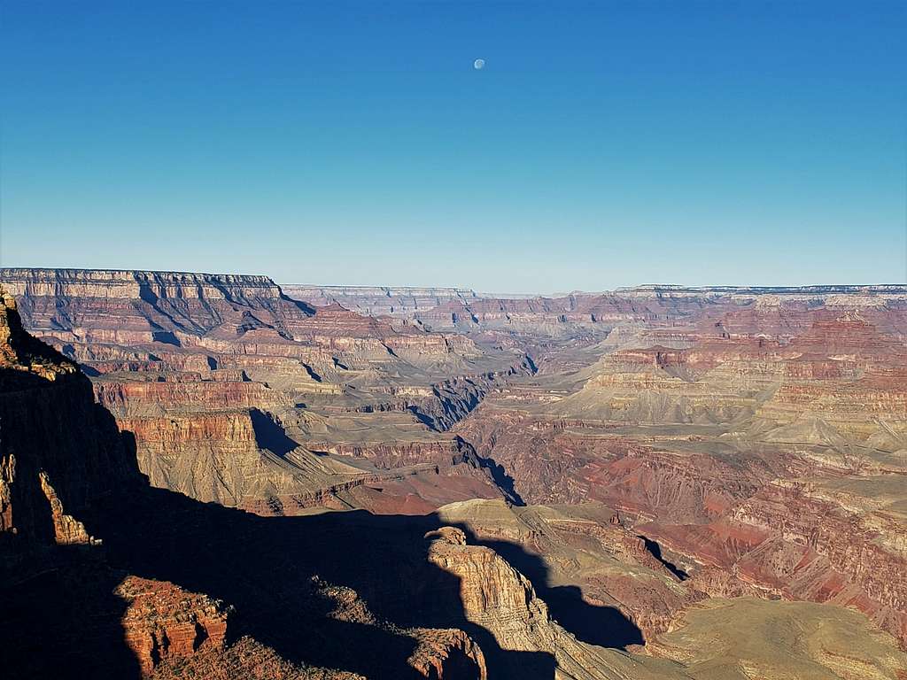
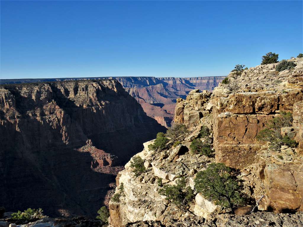
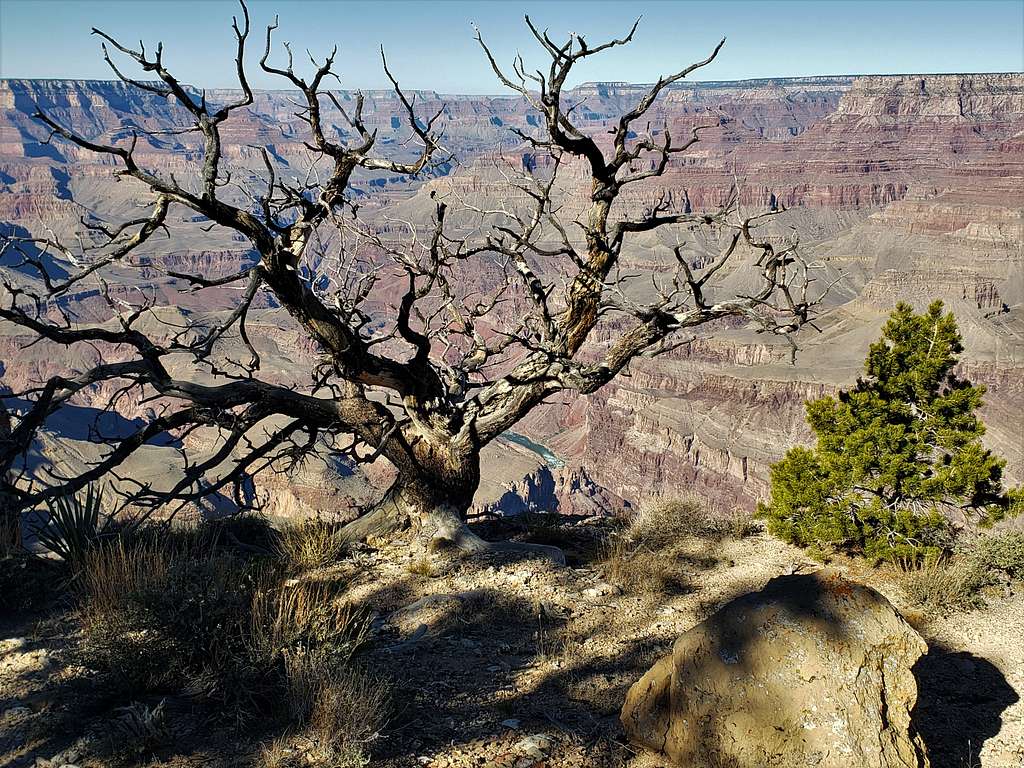
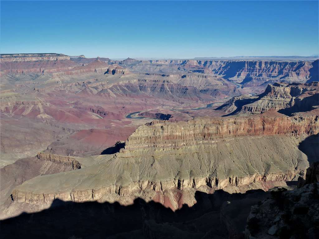
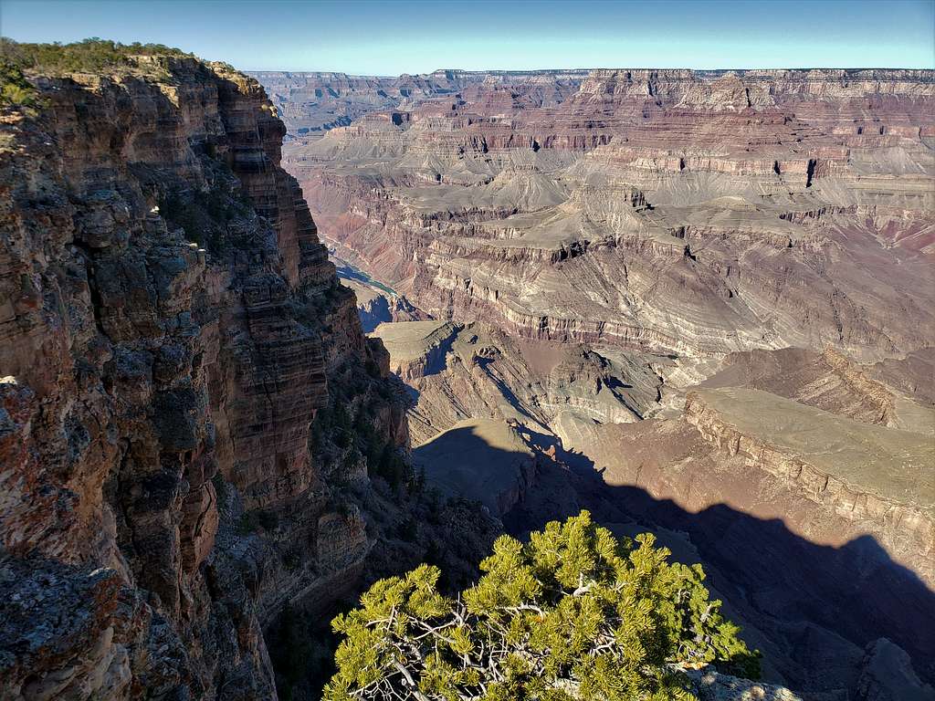
After half a mile, I reached the edge of the canyon, which ran north-south at that spot. Great view of the canyon to the northwest.
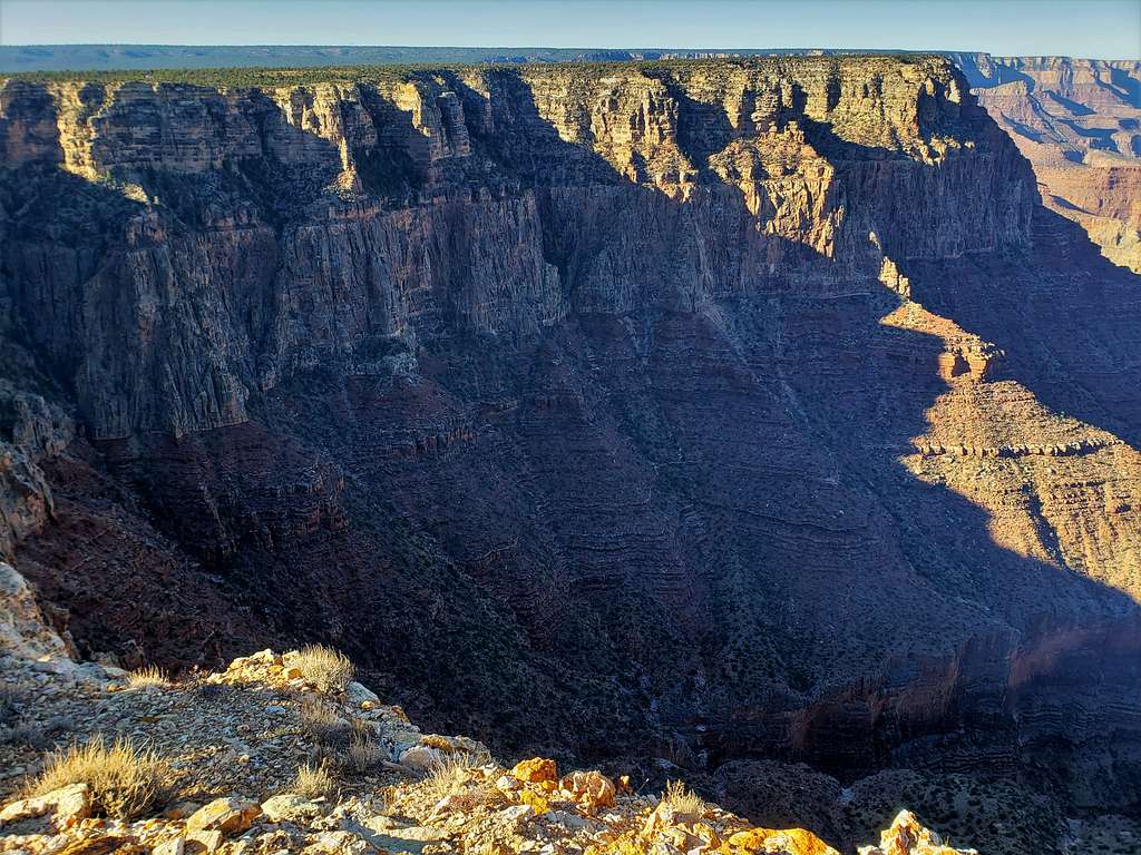
View west/southwest toward Zuni Point.
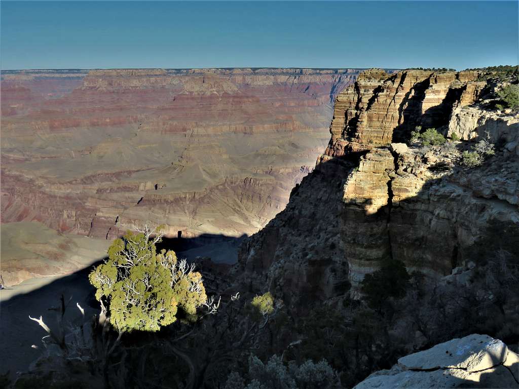
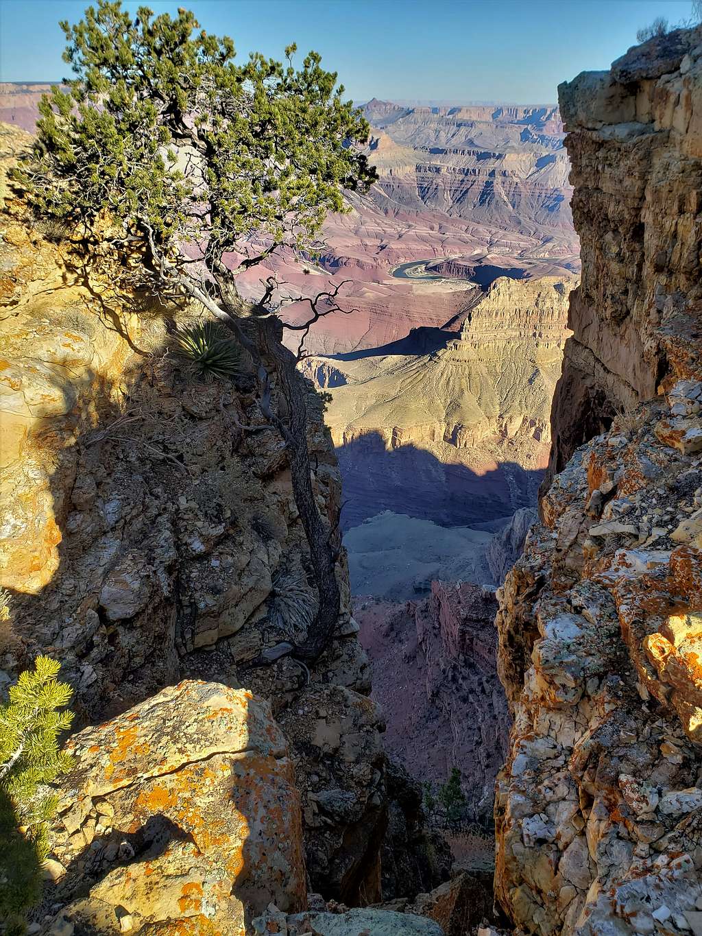
Looking north at Papago Point.
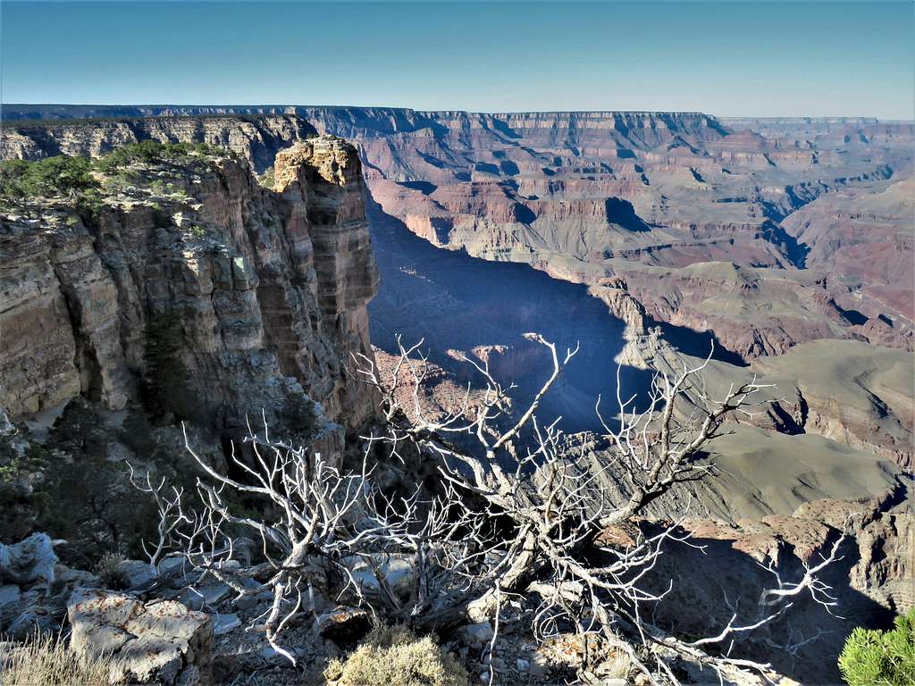
Followed the rim north to reach Papago Point. Went over a 3-4 ft wide “neck” with steep drop-offs on both sides to reach the top of a peninsula.
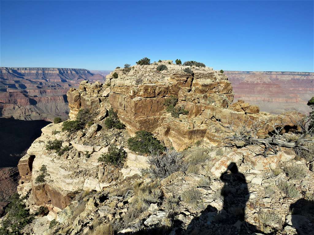
Went a short distance to the west end of the peninsula. Reaching the very end required going down and then back up a “tower” and might have needed some degree of rock climbing which I was not willing to do all alone.
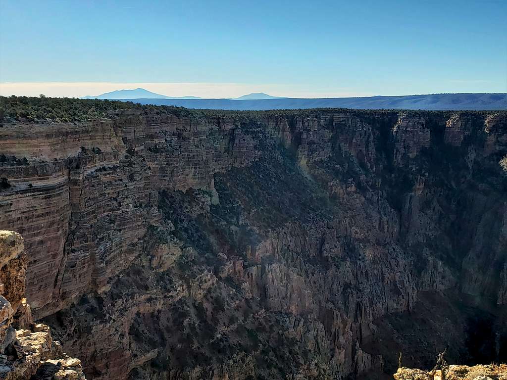
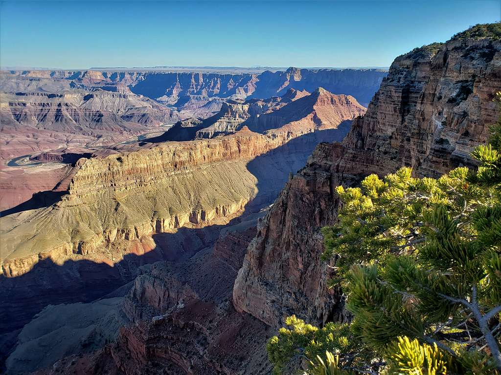
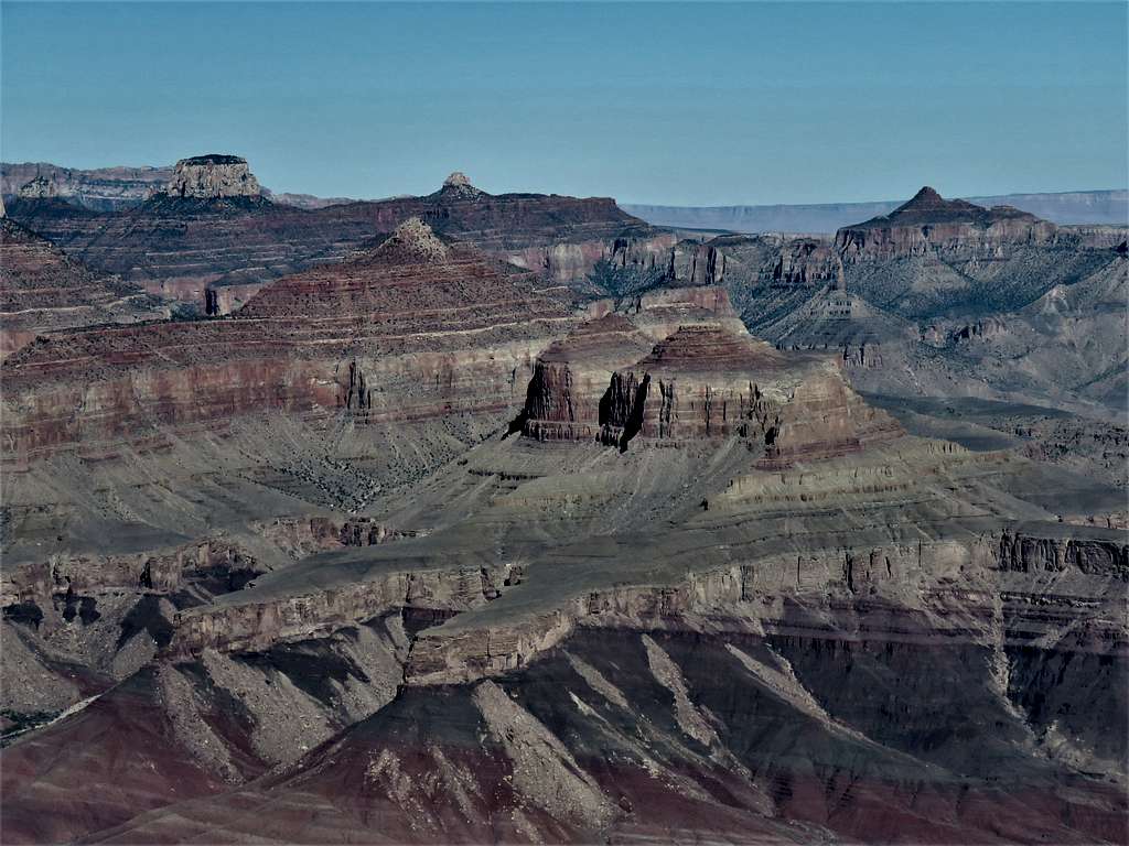
Humphreys Peak visible 48 aerial miles to the south. Kendrick Peak to the right of it.
Looking northwest.
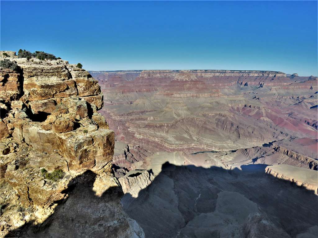
Looking southwest.
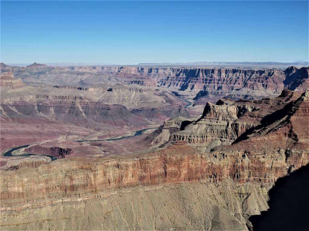
Looking north and northeast. Escalante and Cardenas Buttes plus Comanche Point seen.
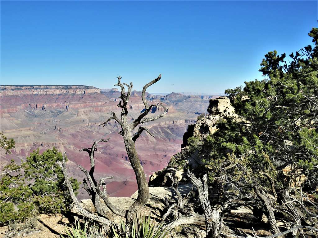
I then went back over the “neck” leaving the peninsula and began to follow the rim northeast and later east.
Looking back at the “tower” at the end of Papago Point.
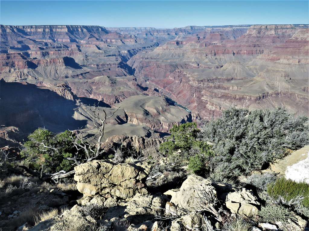
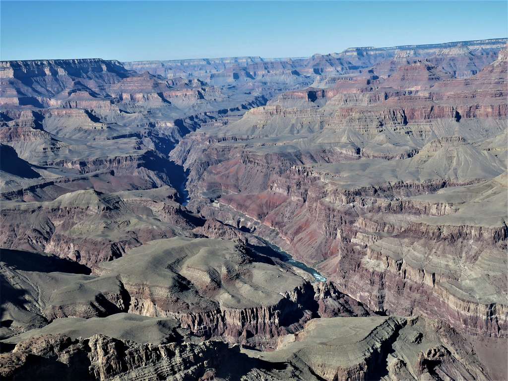
Views along the rim.
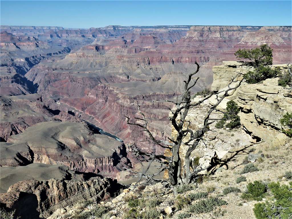
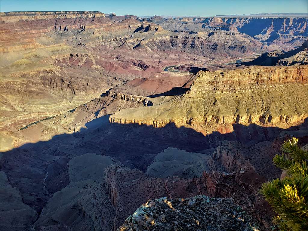
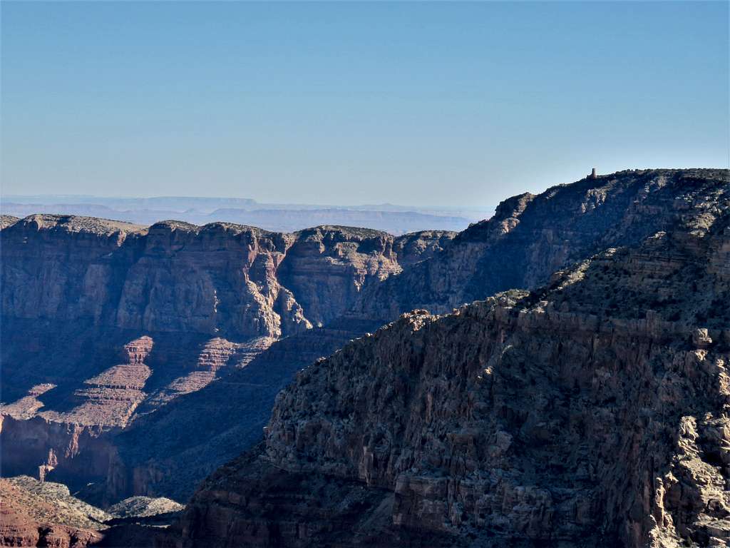
I then reached a spot where the rim of the canyon turned south. That was (or was at least close to) Pinal Point. Sat there to eat and enjoy the views. Zoomed view north.
Desert View Watchtower (zoomed).
Looking west.
Then followed the rim south.
I then left the rim and went into the forest heading south and then southwest following the path that I had entered into my GPS until I reached my car. The path was 1.2 miles long and followed a small drainage in the forest.