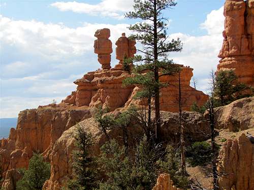
Overview
These are four short trails near the Red Canyon Visitor Center on Route 12. It will probably take you a little more than one hour to hike all four trails but you will get good views of Red Canyon and the colorful formations around it.
| Trail | Elevation Change | Length |
| Pink Ledges | 175 ft | 0.4 miles |
| Hoodoo | 90 ft | 0.3 miles |
| Birdseye | 100 ft | 0.8 miles |
| Photo | 90 ft | 0.1 miles |
![Map]() Map
Map |
Getting There
From the intersection of Routes 89 and 12 (a few miles southeast of Panguitch, UT), turn east onto Route 12 and drive 3-4 miles to the signed visitor center on the north side of the road.
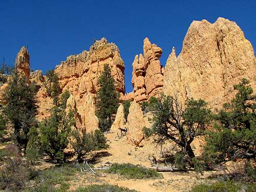
Pink Ledges & Hoodoo Trails
Go to the eastern end of the visitor center’s parking area and find the sign for Pink Ledges Trail. The trail heads west and goes 175 vertical feet up the northern wall of Red Canyon and then comes down to reach the junction with Hoodoo Trail. You could either turn east on Hoodoo Trail and go back to the visitor center or you could turn west and hike a short distance to the junction with Birdseye Trail.
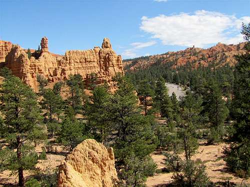
Birdseye & Photo Trails
Birdseye Trail heads north and takes you a short distance into a side drainage and then comes back south and goes down in elevation to reach the junction with Photo Trail. You can then hike a short distance up Photo Trail to the end of it.
Red Tape
No Fees or permits needed for day hikes.
For all rules and regulations contact:
Powell Ranger District-Dixie National Forest
Panguitch, UT
Weather Forecast
See the forecast for the nearby Bryce Canyon National Park:
Forecast.