
-
 9250 Hits
-
 78.27% Score
-
 9 Votes
|
|
Mountain/Rock |
|---|---|
|
|
44.76170°N / 121.7989°W |
|
|
6095 ft / 1858 m |
|
|
Overview
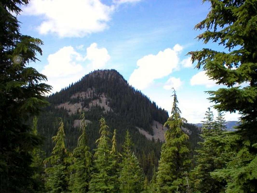
Pyramid Butte stands out among the line of peaks between Olallie Butte and Mt. Jefferson. It's not that large in area but it is steep and rocky. It gives great views from Mt. Hood to Mt. Jefferson. There is a short, steep trail to the top.
Getting There
You will need a vehicle with high clearance, possibly needing 4WD depending on conditions, to get to the trailhead.From Portland, take exit 12 off Interstate 205 and head towards Estacada on Highway 224. Once in Estacada, continue on another 26 miles to Ripplebrook, a ranger/guard station. Just after Ripplebrook, the road forks. Take the right fork, Road 46. Continue on Road 46 about 26 to 28 miles to Road 4220. The road is not very well marked and is almost directly under large powerlines. If you pass the powerlines or go into the Mt. Hood Wilderness area, you have gone too far.
Take the left onto Road 4220. It starts out as decent gravel but deteriorates into large rocks and dirt and is pretty bumpy and rutted. Take this about 6 miles to the Mt. Jefferson Wilderness Parking Lot. The trailhead is at this lot.
Red Tape
A Northwest Forest Pass is required to park at the lot and you need to have a Wilderness Permit which are free and self-service issued at the large sign about 20 yards into the trail.When To Climb
mid-July to mid-October.Outside of this time, Road 4220 may be gated due to snow but it would depend on conditions.
Camping
Camping is allowed along the trail or at designated campsites. Breitenbush Lake Campsite is right next to the trailhead and there are also campsites along Road 4220. Camping is free.Mountain Conditions
Estacada Ranger District(503) 630-6861