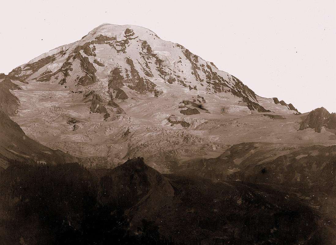
This photo comes courtesy of the USGS Photographic Library, and was taken
at the Eagle Cliff viewpoint in July 1896. It shows the Mowich Face (northwest side) of Mount Rainier. This is the side of the mountain that can
be seen from the Tacoma/Puyallup area of WA's Puget Sound.
I'm attaching it to my "TRAGEDY on the THRESHOLD of the MOUNTAIN that was GOD" article page.
Important side-note:
In 1971, geologists Eugene Kiverand and Martin Mumma explored the ice caverns beneath the northeast rim of Mount Rainier's most recently formed summit crater. During a thorough investigation of the region, the pair mapped more than one mile of passageways. They found a network of tunnels at 30 to 40 degrees. Many of them led to a corridor that encircled the crater. Hundreds of steam vents were discovered. When inserted into the volcanic soil, one thermometer registered 176 degrees Fahrenheit.


