
|
|
Route |
|---|---|
|
|
37.47443°N / 112.24028°W |
|
|
Hiking |
|
|
Spring, Summer, Fall |
|
|
Most of a day |
|
|
Hike |
|
|
Overview
Riggs Spring Loop Trail sits at the southern end of Bryce Canyon National Park. It starts at the 9115 ft Rainbow Point, the highest point in the park, where you will find yourself on a forested flat-top mesa. Pink colored cliffs drop a few hundred feet below the surface of the mesa. The trail starts on one side of the mesa and goes down into forested valleys below the pink cliffs to reach Riggs Spring Campsite (7450 ft). It then comes back up to the other side of the mesa. You will not see many hoodoos in this area but the pink cliffs and the forest create spectacular vistas.In contrast to the crowded trails on the north side of the park, Riggs Spring Loop Trail gets little traffic. When I hiked the trail an important trail sign was missing near the Riggs Spring Campsite (see “Route Description” below). Have a map, know where you are and where you need to go.
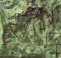 Map |
Getting There
From Park entrance, drive 18 miles south to the end of the road at Rainbow Point Parking Area.Route Description
Hike Statistics:Highest Point (Rainbow Point) = 9115 ft
Lowest Point (Riggs Spring Campsite) = 7450 ft
Loop = An 8.8 mile hike
You can obviously hike the loop in either direction. This description goes counterclockwise.
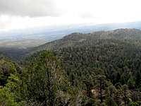
Go to the southwestern part of the parking area and look for signs for Yovimpa Point. Follow the paved pathway. Just before Yovimpa Point, you will see a trail and a sign that identifies it as Riggs Spring. Go a short distance to the end of the paved pathway to reach Yovimpa Point where you will find yourself at the edge of the mesa above the pink cliffs. Enjoy the views then go back to the Riggs Spring Trail.
Views from Yovimpa Point.
 From Yovimpa Point |
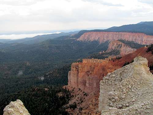 From Yovimpa Point |
 From Yovimpa Point |
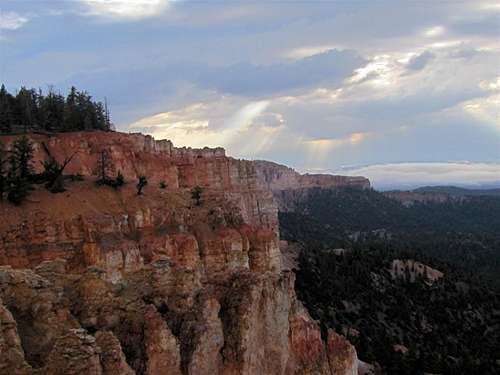
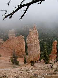
Riggs Spring Trail goes into a forest and begins to go down quickly. At times, you come close to the edge of the pink cliffs and will get good views.
 | |
 |  |
After 1.75 miles and at an elevation of 8350 ft, you will reach a flat area known as Yovimpa Pass. A dirt road will appear to the north and you will note a camp site.
 Near Yovimpa Pass |
The trail heads south/southeast and continues to go downhill giving you good views of the pink cliffs when the forest allows it.
 |
 |
 |
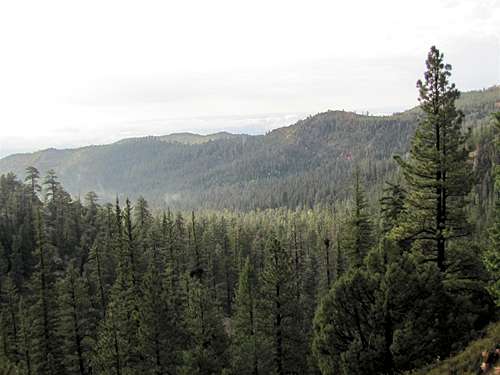 |
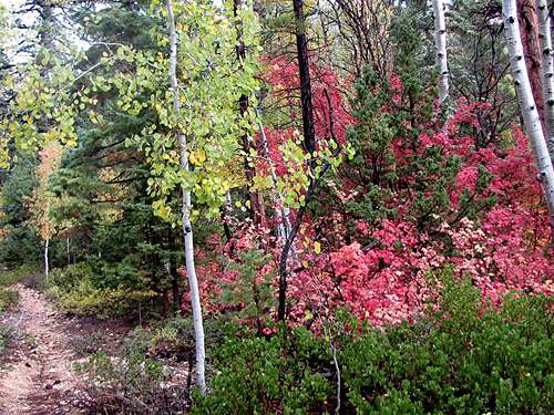
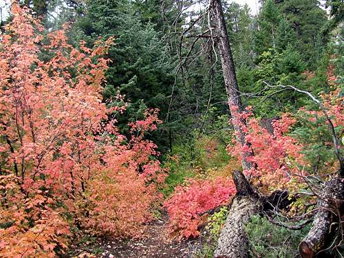
The trail will then become less steep and follows Podunk Creek in a beautiful forest. Most of the trees are conifers but you will encounter small Aspens or Maple Trees here and there. It then reaches Riggs Spring Campground (3.35 miles, 7450 ft).
 |
 |
 |
At the campsite, you must make a 90 degree turn and follow a trail up the Morton Hollow Drainage. The only sign that I saw, pointed straight to Group Campsite. No other trails were visible. I followed the trail straight and after 0.75 miles I reached a fence that marked the edge of the park. I was forced to come back to Riggs Spring Campsite and look until I was able to find the trail that goes uphill into Morton Hollow.
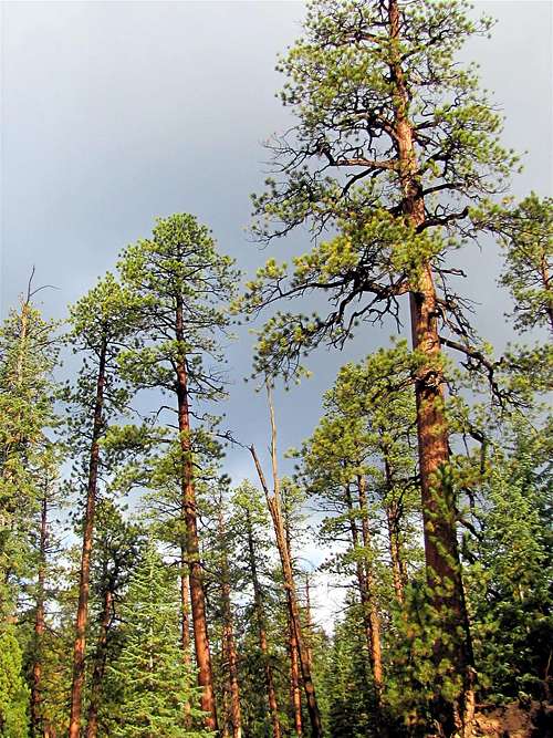
As you head north up Morton Hollow, you will see pink cliffs to the north again. The forest appears very lush and you will only get glimpses of these cliffs. The trail goes up to roughly 8000 ft and then heads east at the base of the cliffs.
 | |
 |  |
 | |
 |  |
Beautiful Forest.
 |
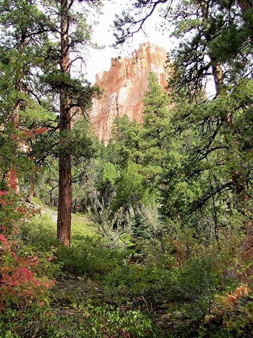
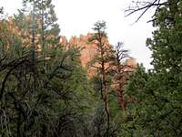
The trail then heads south and skirts around the southern edge of a long arm of the mesa above known as “The Promontory”. You will have one last view of the pink cliffs.
 |
 |
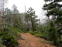
After the trail skirts the southern edge of The Promontory, it heads north. You will no longer see pink cliffs. Only forested slopes will be seen to the east. The forest may not appear as lush anymore. The trail begins its final ascent back to Rainbow Point.
 |
As I approached Rainbow Point, clouds/fog obscured the view. I do not think you will get any fantastic views from here anyway. The trail finally reaches the junction with Under The Rim Trail and then Bristlecone Loop Trail before returning to Rainbow Point.
 |  |  |
Red Tape
You must pay park entrance fee.No permits required for day hikes. For all rules and regulations see the official park site:
http://www.nps.gov/brca/index.htm