Rock Mountain (Stevens Pass) 11-23-2013
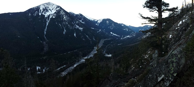
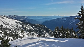
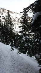
We left Renton at 4:30 a.m. and left the truck under the power lines East of the Rock Mountain Trailhead at 7. We scrambled quickly up to the trail and started up the endless switchbacks. As we climbed, a red glow moved into the foggy valley to the East and Icicle Ridge slowly rose from behind the Chiwaukum Mountains. Snow began to appear on the trail by 3500 feet. We carefully worked through few short sections of exposed switchbacks that were covered in thick ice before.
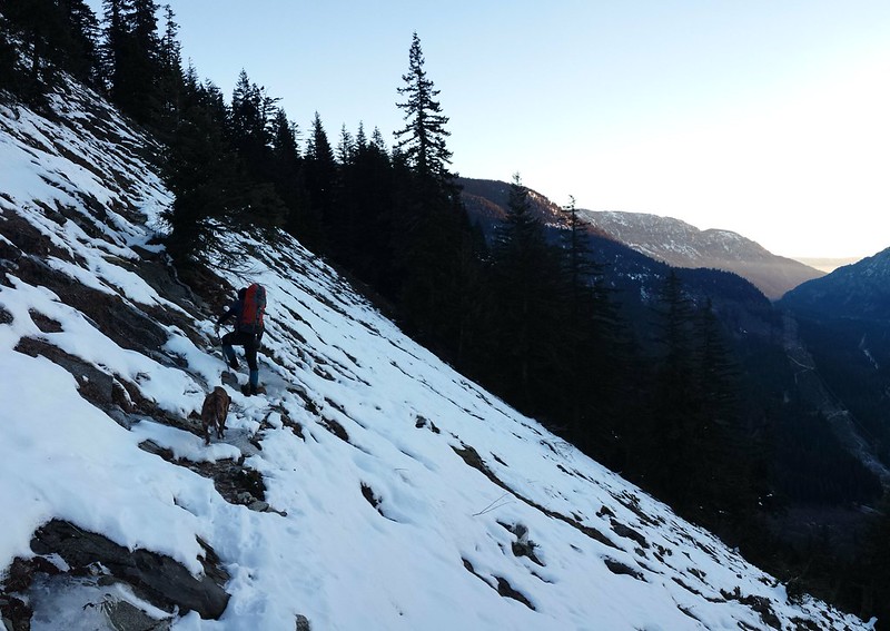
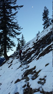
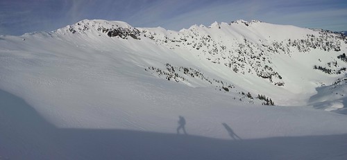
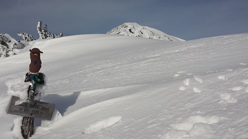
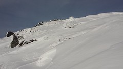
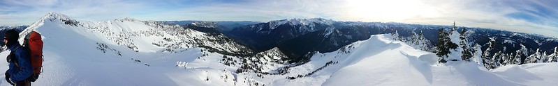
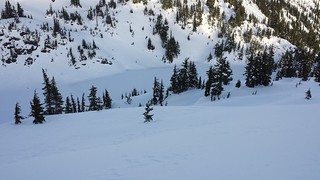
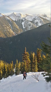
Where snow covered the trail it was fairly well packed, but as we gained elevation and the untouched areas remained soft powder it became increasingly clear that we should have brought snowshoes. We followed the sole pair of boot tracks on the mostly packed trail until they turned around, and continued on the trail for a few hundred feet more until reaching an exposed rocky peak. We crossed below the cliffs and then climbed to the top of the ridge where the false summit of Rock Mountain first came into view.
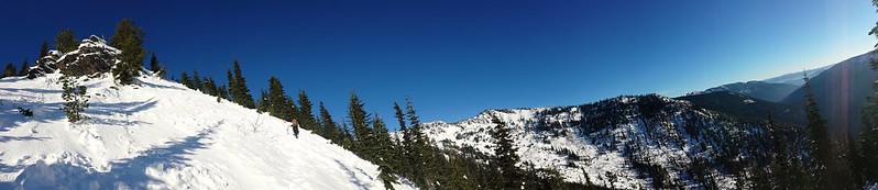
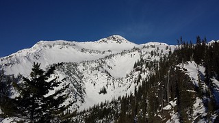
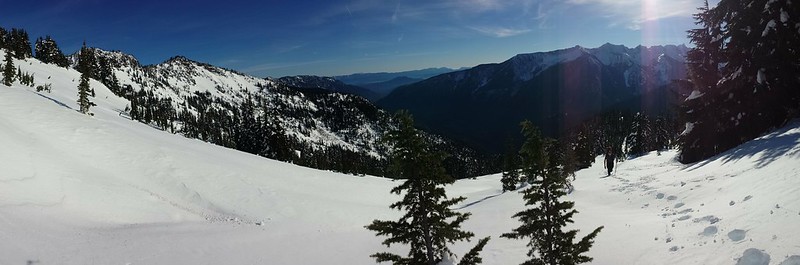
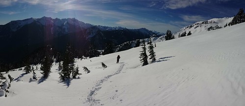
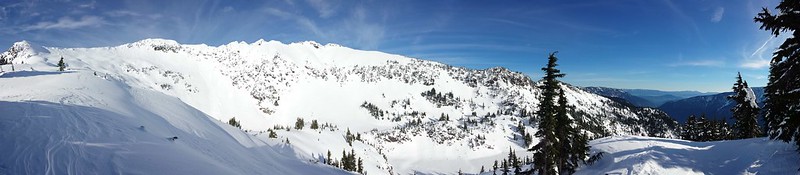
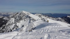
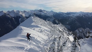
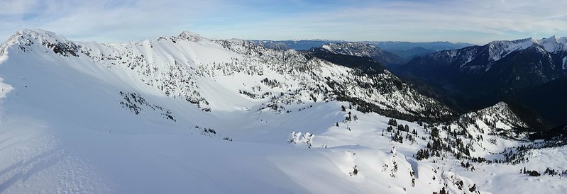
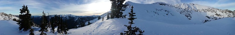
The surrounding trees thinned as we approached the ridge South of Rock Lake, and our steps grew deeper in the sun-baked snow. We took a break on the ridge above the lakes outlet and discussed the route up to the summit. The south ridge was littered with overhanging cornices. Some had calved off, scattering debris across the slopes below. We made our way up just North of the false summit, on a thin crust that constantly broke through into the powder below. A pair of skiers emerged below, a painful reminder that we had left our snowshoes behind.
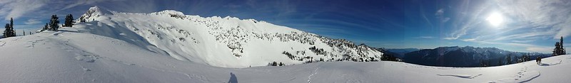
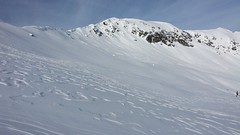
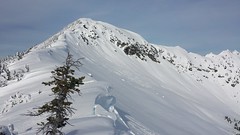
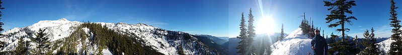
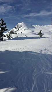
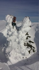
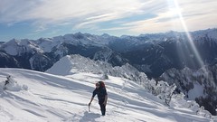
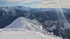
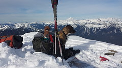
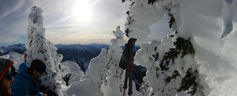
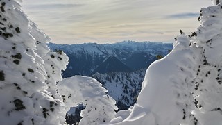
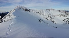
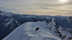
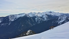
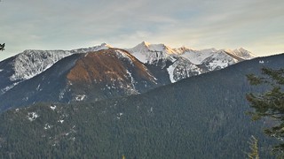
The West side of the summit ridge is a short alpine forest, most of the trees were covered in several inches of rime. The distance between the 2 summits shrank with the perspective we gained from atop the ridge, but Mount Howard and Mount Mastiff seemed much farther away than I had expected. We easily made our way up the final stretch through firmer snow that had only just been kissed by sunlight. Heavy winds from the West became a whirlwind seemingly coming from all directions as we neared the summit. After a few failed attempts find the least windy side, we hunkered down at the top.
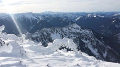
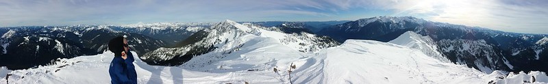
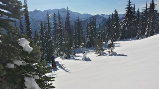
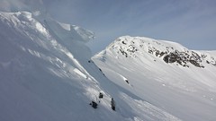
While we ate and took in the views, the skiers arrived and began to assess their intended descent toward a cached vehicle near Rainy Creek. After deciding that not enough snow covered the slopes below, they returned along our path to find somewhere to make some turns. We dropped back ourselves and found a sunny spot out of the wind for some more peak-spotting. Some of our route was already in the shade of the ridge so we decided to wait as long as we could, hoping to avoid whatever post-holing we could on the descent. We would occasionally hear a "whoo-hoo!" from the skiers below.
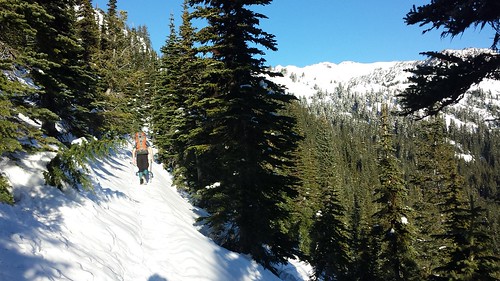
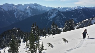
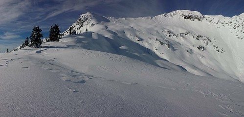
After an hour or so we packed up and plunge-stepped our way back to the ridge above Rock Lake. The terrain would have been perfect for glissading but the snow was still far to soft to allow it. As we stopped to take in the remaining sunlight, the skiers came back over the ridge and cruised down almost to the lake then skinned back up to us. They mentioned crappy surface conditions on the other side of the ridge then flew down the mountain, filling us with jealousy.
We cut a mostly direct route back down through the switchbacks, at one point I got off route following the skiers path. Before Colin could correct me, my mistake was made obvious by a sign that read:
DANGER
ARTILLERY IMPACT AREA
KEEP OUT
Icicle Ridge was bathed in alpen-glow as we returned to the truck just before dark. We stopped at Rico's Pizza in Gold Bar for calzones, which were delicious.

11 miles Round Trip
4000' elevation gain
10 hours car-to-car
My Blog
Comments
No comments posted yet.
