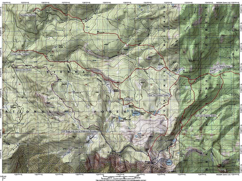
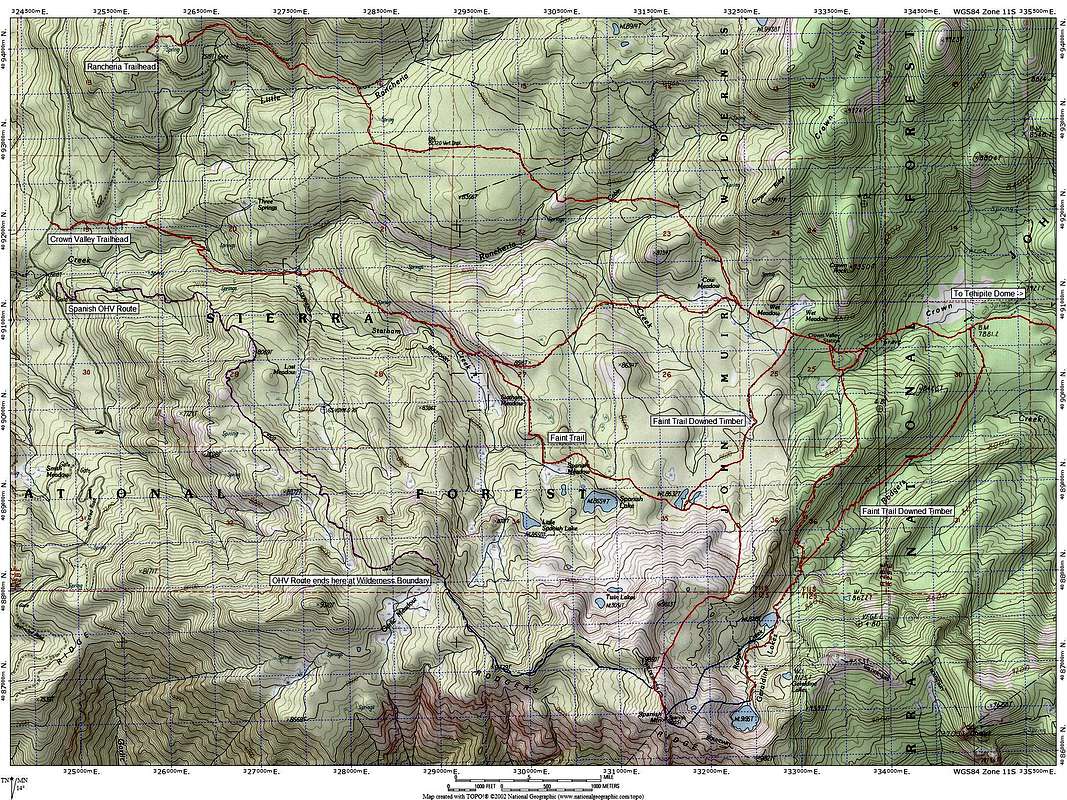
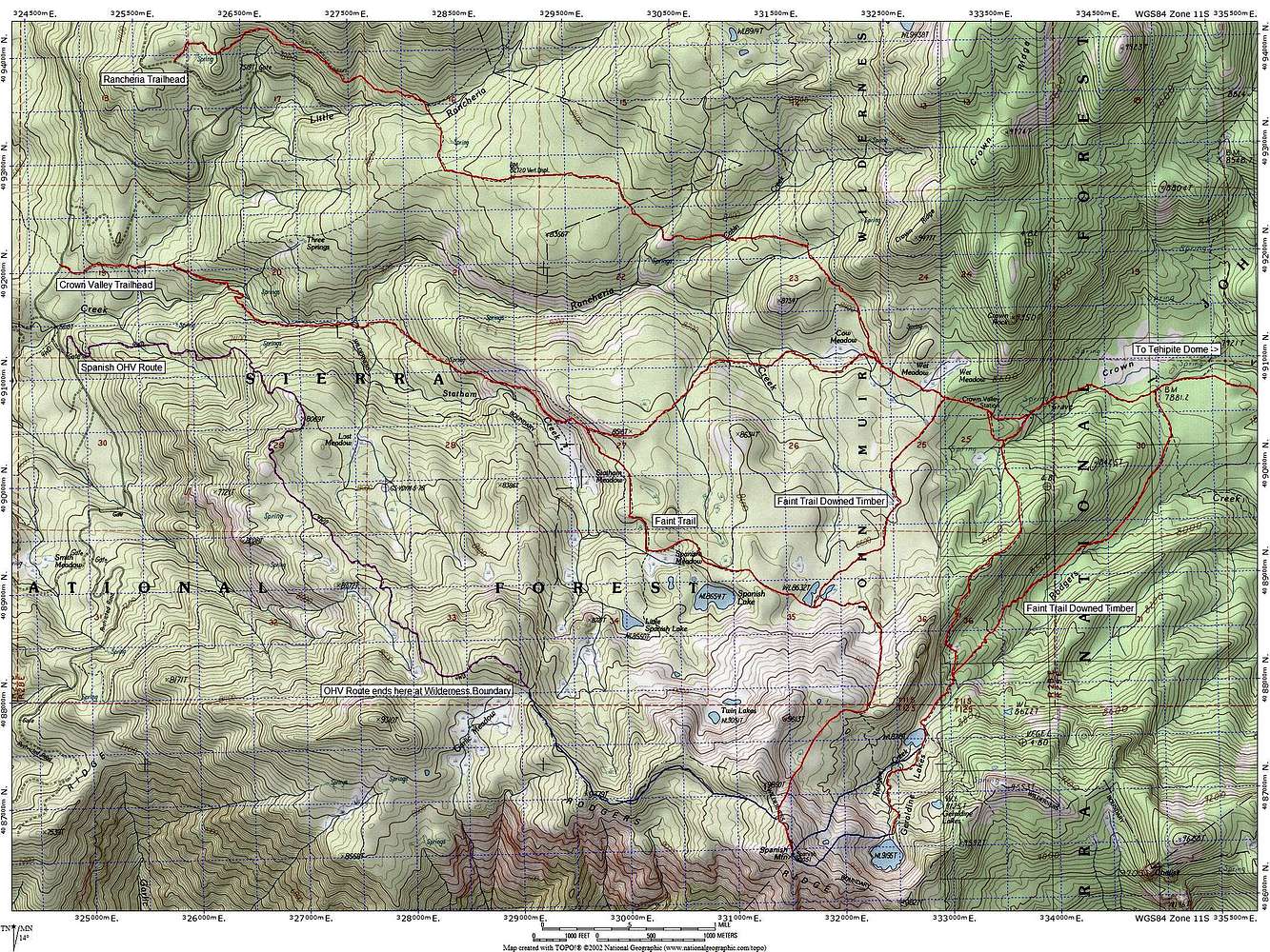
Route Map for Spanish Mountain
Route options for reaching the summit of Spanish Mountain
Class 1 portions are shown in red from both the Rancheria and Crown Valley Trailheads. The Spanish OHV Route is shown in purple and ends at the wilderness boundary where an easy class 2 route begins.
Class 2 routes up and down the northeast slope to Geraldine Lakes and additional trail options to connect to Tehipite Dome to the east are also shown.


