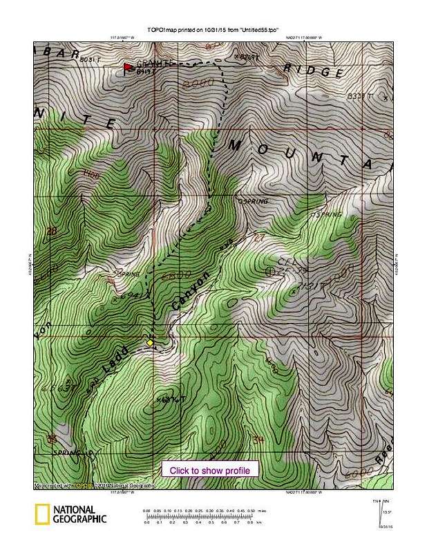
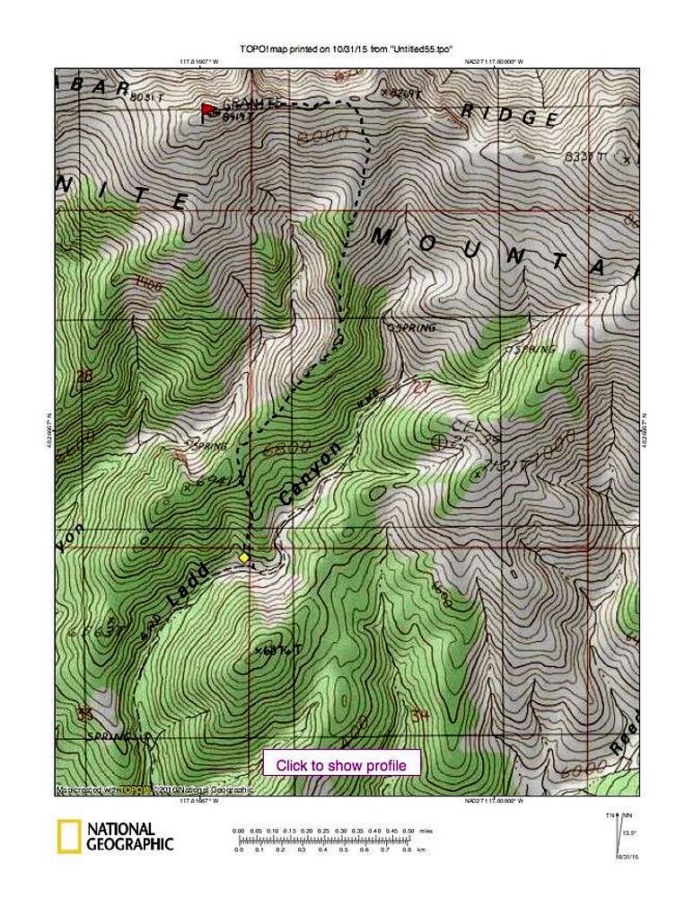
After parking on the rough jeep road at 5900 feet, we walked up the road until we hit the 6350' level and then headed directly uphill toward the saddle near the 6800' foot level. From there we made our way up the sometimes quite rocky ridge until we were close to the 8269 foot bump when we turned left and headed for the peak from there. The last bit had a bit of a scramble to attain the summit.
For actual GPS tracks, see the ones posted by Dennis Poulin and Ken Jones at peakbagger.com


