-
 1114 Hits
-
 79.04% Score
-
 10 Votes
|
|
Route |
|---|---|
|
|
45.76851°N / 7.20456°E |
|
|
Hiking |
|
|
E |
|
|
Overview
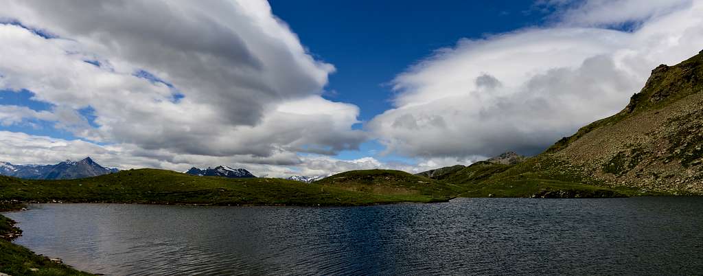
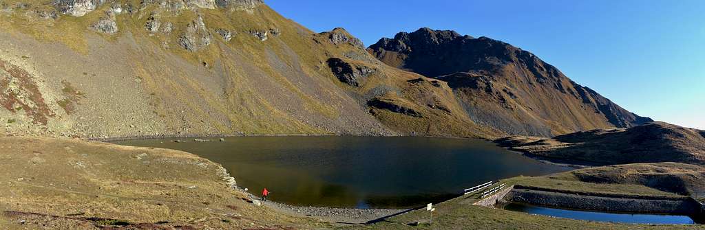
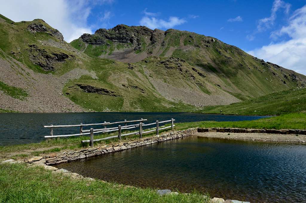
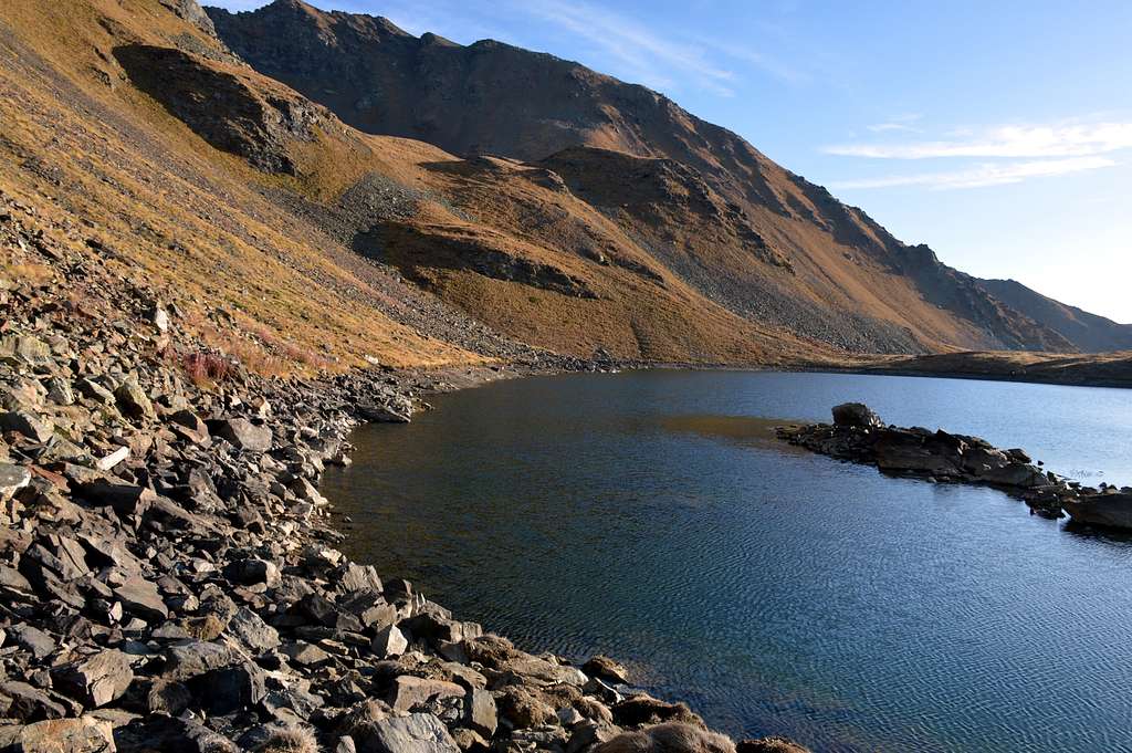
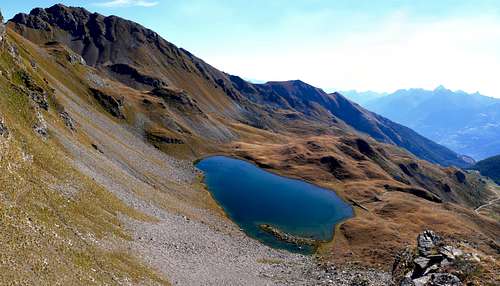
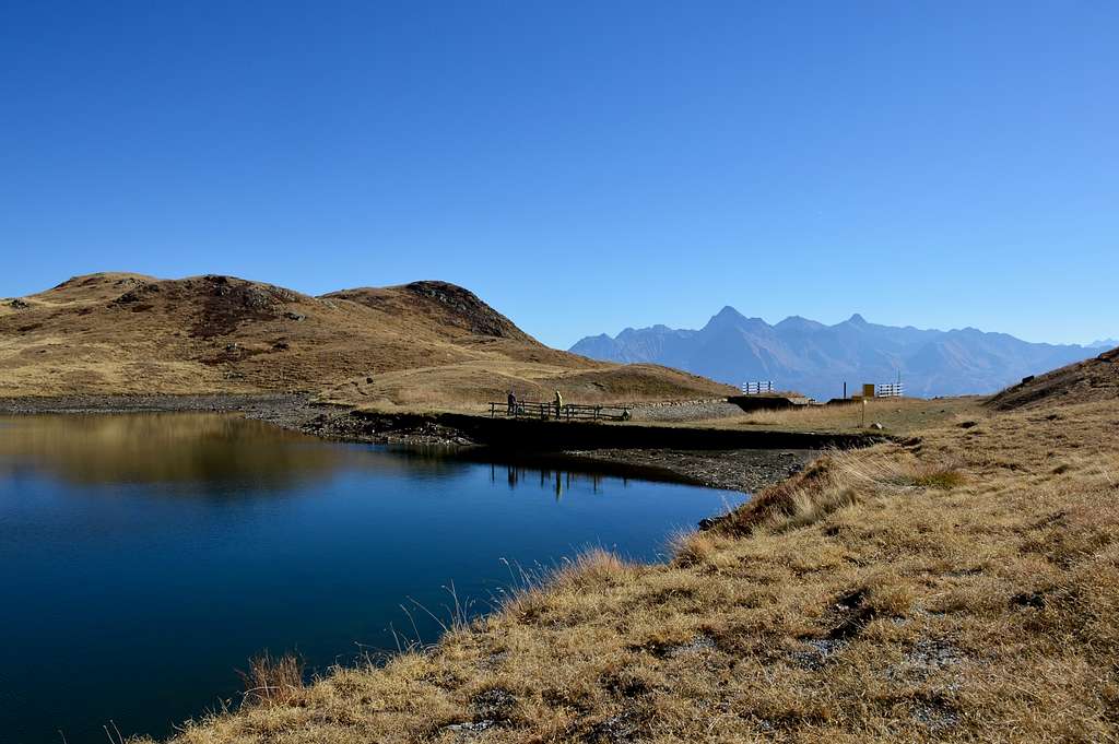
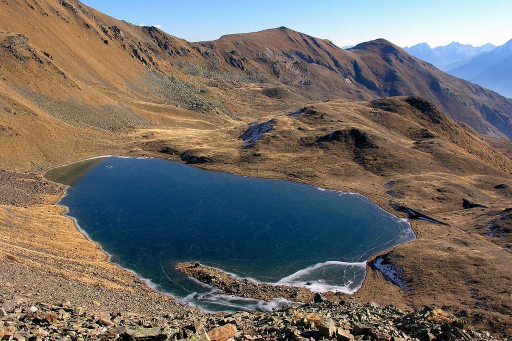
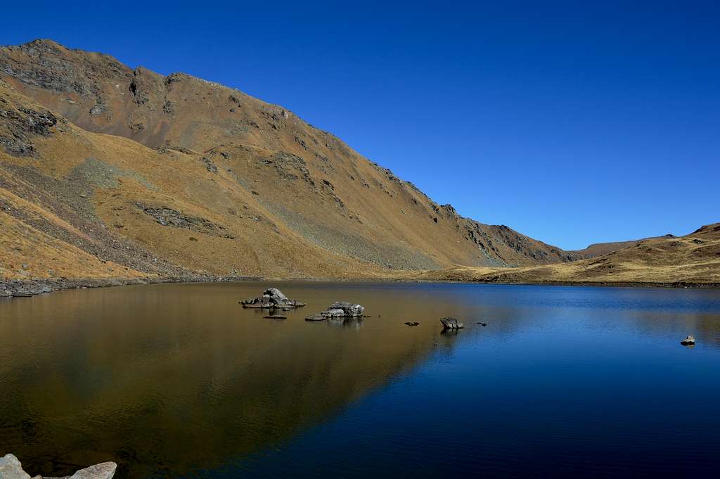
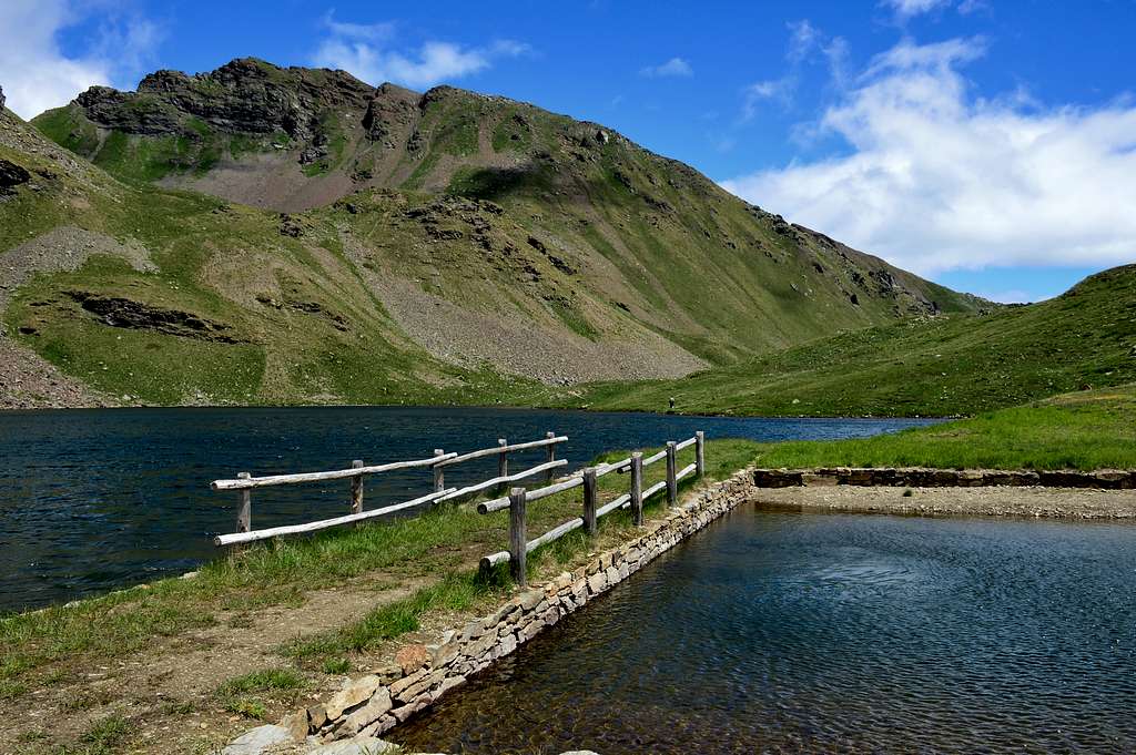
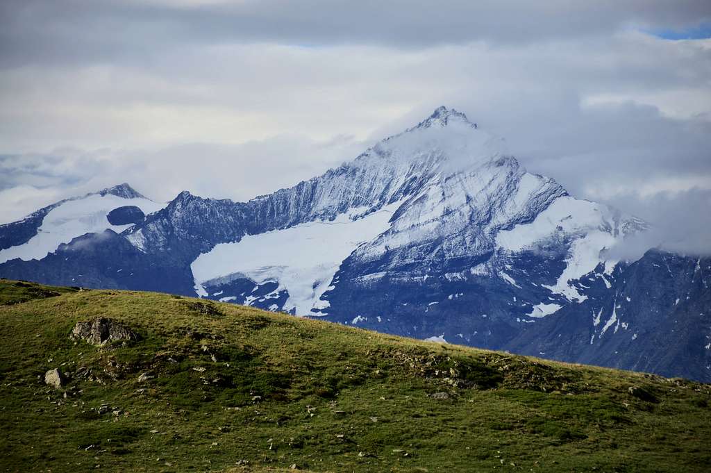
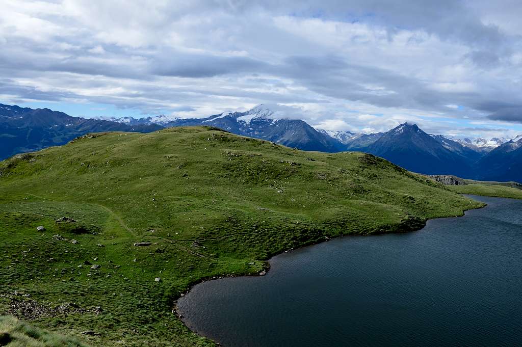
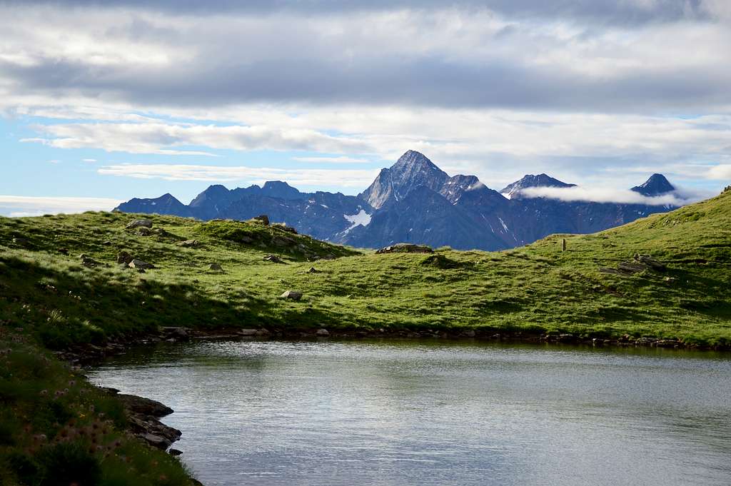
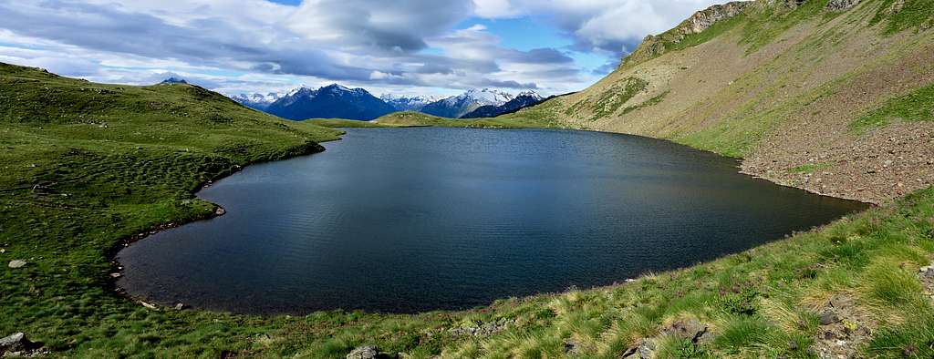
Enchanting small lake located at the foot of the homonymous Mont Fallere (3.061m), grandiose panorama on the great North West face of Grivola (3.969m) and other important mountains of the Aosta Valley, from the small group of Monte Emilius to the Rutor group, excellent view also on some villages of the valley bottom.
Incantevole piccolo lago posto ai piedi dell'omonimo Mont Fallere (3.061m), grandioso panorama sulla grande parete Nord Ovest della Grivola (3.969m) e altre importanti montagne della Valle d'Aosta, dal piccolo gruppo del Monte Emilius al gruppo del Rutor, ottima vista anche su alcuni paesi del fondo valle.
Road Route
For Thouraz:
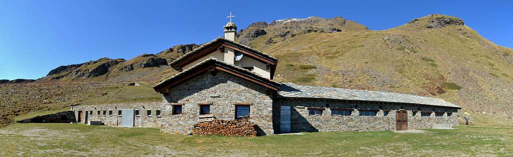
Exit Aosta East of the Motorway, follow the normal route SS.26 direction Courmayeur; after Aosta town (583m), you will find Sarre (631m): turn right, direction Ville Sur Sarre (1.214m), and in Ville Sur Sarre, turn right and follow the sign Thouraz (1.657m). This is a small new village, a few houses. The main Touraz village was destryoyed by a landslip that fell down from the Becca France (at your left) which buried the whole village with all it's 600 inhabitants, at 6 of clock of a July morning in the year 1564.
Da Thouraz:
Uscita Aosta Est dell'Autostrada, seguire la strada normale SS.26 in direzione Courmayeur; dopo la Città di Aosta (583 m), raggiungerete il Comune di Sarre (631 m): girare a destra, direzione Ville Sur Sarre (1.214 m), seguire il cartello che porta a Thouraz (1.657 m). Questo è un piccolo villaggio nuovo, di poche case. Il villaggio principale di Touraz fu distrutto da una frana caduta dalla Becca France (alla vostra sinistra) che seppellì l'intero villaggio con tutti i suoi 600 abitanti, alle 6 di una mattina di luglio dell'anno 1564.
 |
 |
 |
 |
 |
Route
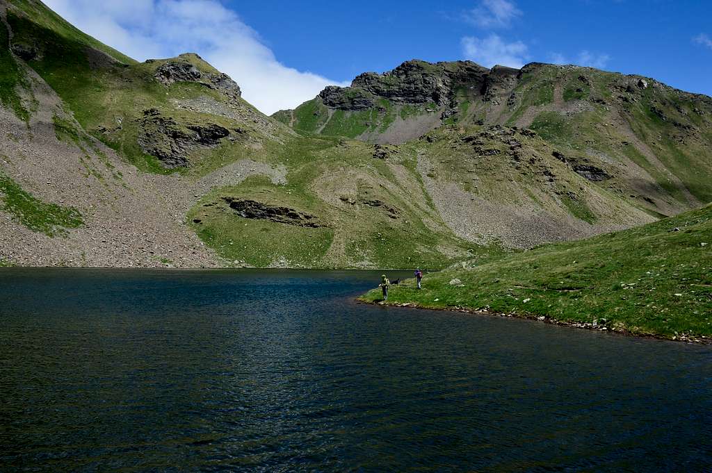
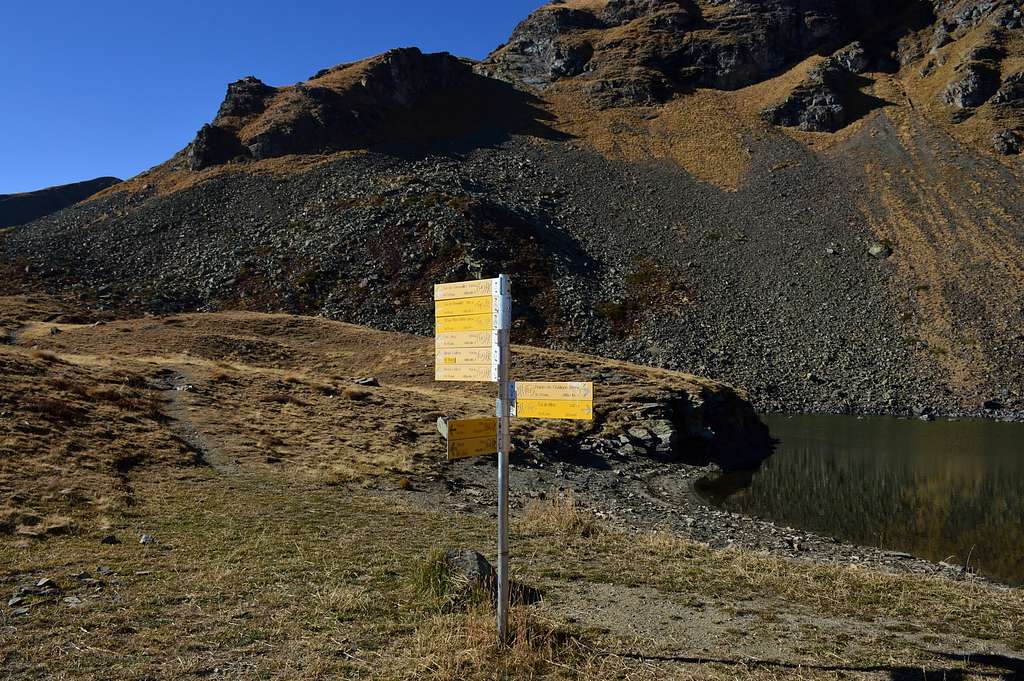
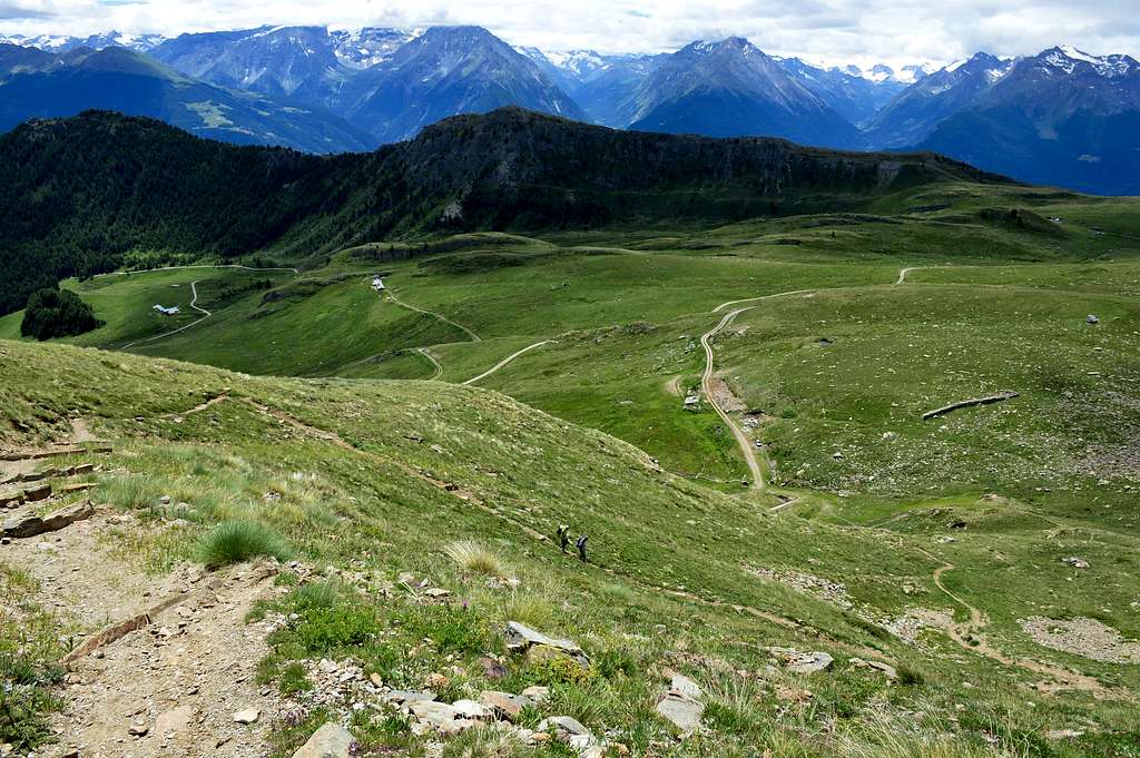
Just before Thouraz you pass the restaurant "Les Fleurs d'Aquilou" (1.623m) and after about 150 meters you park your car in the small car park where the no-drive sign is placed (1.641m), you start to climb on foot along the farm road n° 8A and after passing two hairpin bends, take the path n° 8B on the right until you reach the "Alpe Morgnoz" mountain pasture (2.026m), from this point you start climbing again along the farm road n° 8A and after about 0h'35/0h'40 you reach the "Tsa de Morgnoz" mountain pasture at (2.276m). From this, just behind the pasture, the last stretch of the fairly steep path begins and always marked with the n° 8A and after about 0h'20/0h'25 you reach the lake (2.415m). Total time from Thouraz 2h'30/2h'50.
Poco prima di Thouraz si oltrepassa il ristorante "Les Fleurs d'Aquilou" (1.623m) e dopo circa 150 metri si posteggia l'auto nel piccolo parcheggio dove è posto il cartello di divieto di transito (1.641m), si inizia a salire a piedi lungo la strada poderale n° 8A e superati due tornanti si prende sulla destra il sentiero n° 8B sino a raggiungere l'Alpeggio "Alpe Morgnoz" (2.026m), da questo punto si riprende a salire lungo la poderale n° 8A e dopo circa 0h'35/0h'40 si raggiunge l'Alpeggio "Tsa de Morgnoz" posto a (2.276m). Da questo appena dietro l'alpeggio inizia l'ultimo tratto di sentiero abbastanza ripido e sempre contrassegnato con il n° 8A e dopo circa 0h'20/0h'25 si raggiunge il lago (2.415m). Tempo totale da Thouraz 2h'30/2h'50.
 |
 |
 |
 |
 |
Difficulties
The itinerary is to be considered E, also suitable for children always under the watchful attention of those accompanying them.
L'itinerario è da considerarsi E, adatto anche ai bambini sempre sotto la vigile attenzione degli accompagnatori.
Essential Gear
For hiking.
Da escursionismo.
 |
 |
 |
 |
 |
External Links
- REGIONE AUTONOMA VALLE D'AOSTA the official site.
- FONDAZIONE MONTAGNA SICURA Villa Cameron, località Villard de la Palud n° 1 Courmayeur (AO) Tel: 39 0165 897602 - Fax: 39 0165 897647.
- A.I.NE.VA. (Associazione Interregionale Neve e Valanghe).
Useful Numbers
- Protezione Civile Valdostana località Aeroporto n° 7/A Saint Christophe (Ao) Tel. 0165-238222.
- Bollettino Meteo (weather info) Tel. 0165-44113.
- Unità Operativa di Soccorso Sanitario Tel. 118.