

|
|
Route |
|---|---|
|
|
40.08170°N / 105.6325°W |
|
|
Hiking, Skiing |
|
|
Spring, Summer, Fall, Winter |
|
|
Most of a day |
|
|
Class 1+2 hiking |
|
|
Approach
The Pawnee Pass route is very popular and is the easiest way to bag Pawnee Peak. The optimal start is the Long Lake Trailhead, one of two popular THs in the Brainard Lake Recreation Area (see main page). If/when you discover that the Long Lake trailhead is full, a second option is to park along the roadway on the Brainard Lake Loop Road. The Niwot Picnic Area is a good landmark and from here the Niwot Cutoff trail joins the main trail at the outflow of Long Lake. This secondary TH adds about half a mile to any quoted distances. |
Route Description
From the Long Lake TH, follow the level, wide, well-graded trail past the lake of the same name. This is a very popular trail and you'll likely be passing numerous casual hikers out for a one-mile stroll to see the admirable scenery and stretch their legs. At the far end of the lake, the trail becomes marginally rougher and passes beautiful marshes with flowers (in season). Follow signs for Pawnee Pass and the Isabelle Glacier.Two miles from the trailhead, the trail makes a couple switchbacks as it ascends moderately past a large waterfall to the Lake Isabelle bowl. Here the trails to the Isabelle Glacier and Pawnee Pass diverge. Turn right shortly after reaching the lake and start climbing in earnest up narrower, slighly rougher trail. Cross a stream several times on rocks and logs and pass a series of short cliffs. After a lovely hanging valley under teh Pawnee ridge, start switch-backing up the steep face of a steep ridge. Spectacular views of the lake below.
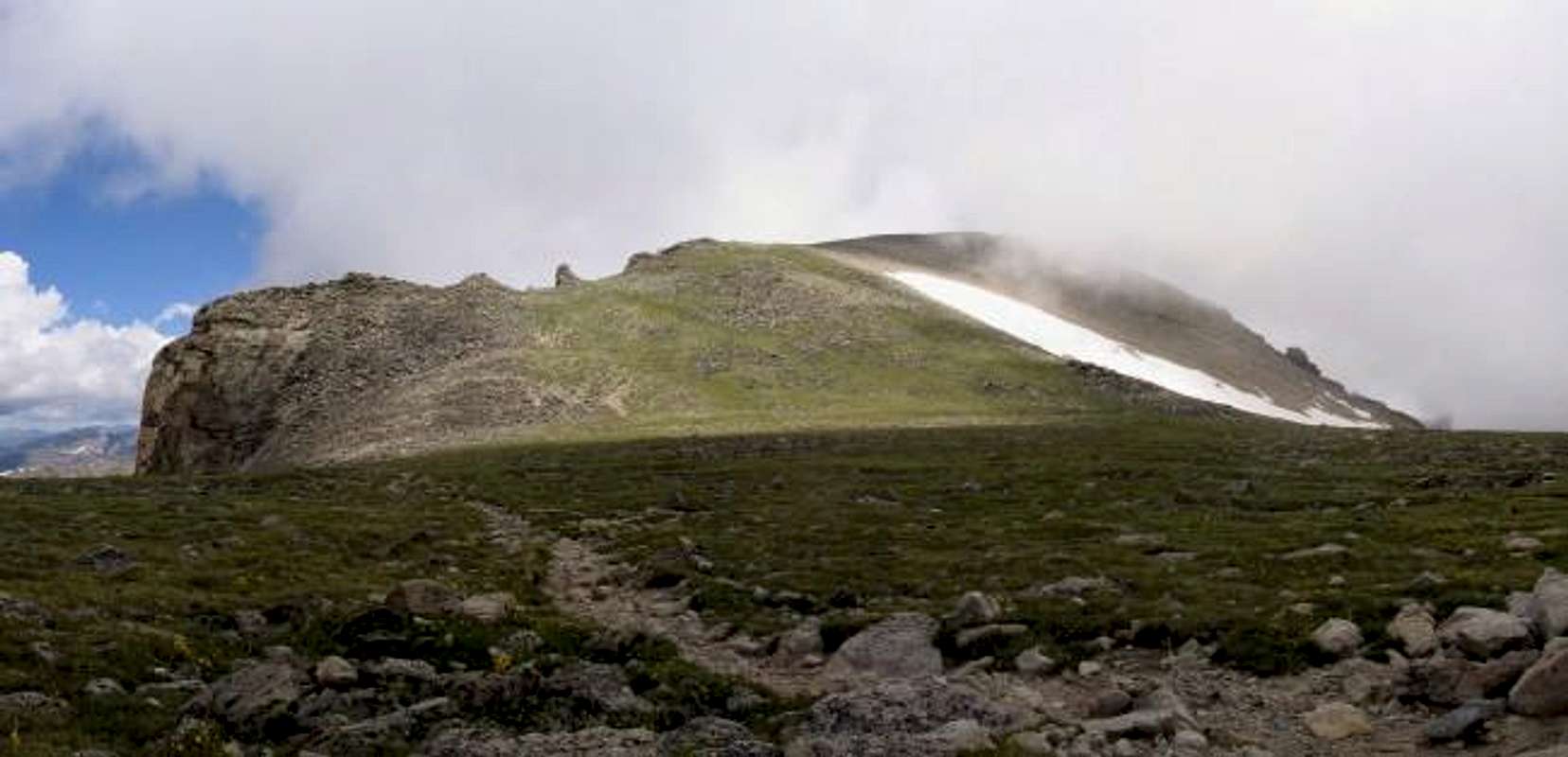
One mile from Lake Isabelle (3 from the TH), you reach a large alpine meadow at the top of the ridge. Follow the winding trail and start a series of rough switchbacks up a final slope. In summer, there may be remnant snow here which can be fairly easily avoided by scrambling the tallus slopes to either side. At the top of the snowfields, you abruptly reach another flat meadow. The large sign marks the Continental Divide and the peak of Pawnee Pass.
Continue west to the first switchback shortly before the precipitous descent toward Cascade Creek. Turn north (right) at the switchback and pick your way across massive tallus heading for the obvious gendarme on the ridge to the north. There is a faint trail once you leave the boulders and it can be followed off-and-on all the way to the summit.
Decend via the same route or (if you're prepared for a snow descent), drop down to the Pawnee-Toll saddle on the divide to the north and thence into the Blue Lake drainage.
Total milage: 9.5 miles.
 |